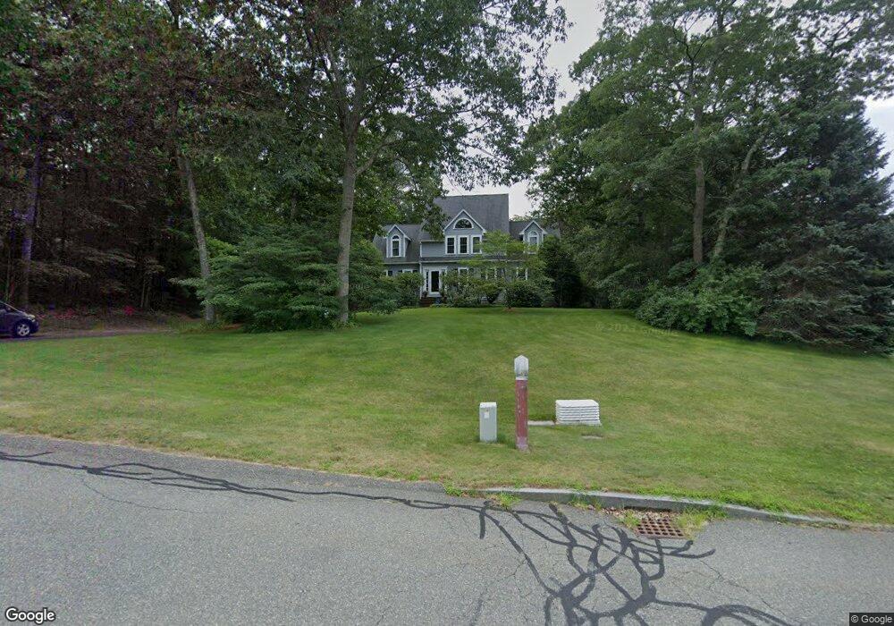
85 Comstock Dr Wrentham, MA 02093
West Wrentham NeighborhoodEstimated Value: $1,065,730 - $1,347,000
4
Beds
3
Baths
3,950
Sq Ft
$311/Sq Ft
Est. Value
About This Home
This home is located at 85 Comstock Dr, Wrentham, MA 02093 and is currently estimated at $1,230,183, approximately $311 per square foot. 85 Comstock Dr is a home located in Norfolk County with nearby schools including Delaney Elementary School, Charles E Roderick, and Mercymount Country Day School.
Ownership History
Date
Name
Owned For
Owner Type
Purchase Details
Closed on
Apr 11, 2008
Sold by
Pelosi Robert and Pelosi Lisa A
Bought by
Hancock Dwayne T and Spada Cheryl A
Current Estimated Value
Purchase Details
Closed on
Mar 18, 1993
Sold by
Bailey & Zanher Bldrs
Bought by
Pelosi Robert
Purchase Details
Closed on
Dec 30, 1992
Sold by
Wrentham Village Corp
Bought by
Bailey & Zahner Bldrs
Create a Home Valuation Report for This Property
The Home Valuation Report is an in-depth analysis detailing your home's value as well as a comparison with similar homes in the area
Home Values in the Area
Average Home Value in this Area
Purchase History
| Date | Buyer | Sale Price | Title Company |
|---|---|---|---|
| Hancock Dwayne T | $660,000 | -- | |
| Pelosi Robert | $253,000 | -- | |
| Bailey & Zahner Bldrs | $80,000 | -- |
Source: Public Records
Mortgage History
| Date | Status | Borrower | Loan Amount |
|---|---|---|---|
| Open | Bailey & Zahner Bldrs | $404,000 | |
| Closed | Bailey & Zahner Bldrs | $100,000 | |
| Closed | Bailey & Zahner Bldrs | $414,000 |
Source: Public Records
Tax History
| Year | Tax Paid | Tax Assessment Tax Assessment Total Assessment is a certain percentage of the fair market value that is determined by local assessors to be the total taxable value of land and additions on the property. | Land | Improvement |
|---|---|---|---|---|
| 2025 | $10,782 | $930,300 | $299,600 | $630,700 |
| 2024 | $10,308 | $859,000 | $299,600 | $559,400 |
| 2023 | $10,435 | $826,900 | $272,400 | $554,500 |
| 2022 | $9,823 | $718,600 | $245,600 | $473,000 |
| 2021 | $9,251 | $657,500 | $219,400 | $438,100 |
| 2020 | $9,707 | $681,200 | $200,400 | $480,800 |
| 2019 | $9,075 | $642,700 | $182,100 | $460,600 |
| 2018 | $8,889 | $624,200 | $181,900 | $442,300 |
| 2017 | $8,573 | $601,600 | $178,400 | $423,200 |
| 2016 | $8,402 | $588,400 | $173,300 | $415,100 |
| 2015 | $8,497 | $567,200 | $166,600 | $400,600 |
| 2014 | $8,419 | $549,900 | $160,200 | $389,700 |
Source: Public Records
Map
Nearby Homes
- 10 Follett Dr
- 60 Grant Ave
- 1620 West St
- 1565 West St
- 2095 West St
- 9 Reagan Ave
- 172 Pine Swamp Rd
- 180 Pine Swamp Rd
- 56 Pine Swamp Rd
- 365 W Wrentham Rd
- 25 Nature View Dr
- 20 Nature View Dr
- 900 Washington St Lot 2
- 47 Austin Dr
- 925 Washington St
- 9 Pebble Cir Unit 9
- 65 Palmetto Dr Unit 65
- 21 Palmetto Dr Unit 21
- 24 Palmetto Dr Unit 24
- 9 Brookfield Ln
Your Personal Tour Guide
Ask me questions while you tour the home.