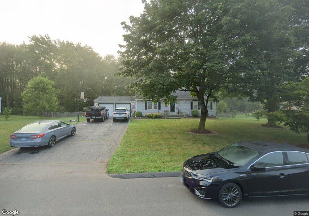
85 Diane Ln Suffield, CT 06078
Estimated Value: $437,000 - $687,000
4
Beds
3
Baths
1,887
Sq Ft
$274/Sq Ft
Est. Value
About This Home
This home is located at 85 Diane Ln, Suffield, CT 06078 and is currently estimated at $517,149, approximately $274 per square foot. 85 Diane Ln is a home located in Hartford County with nearby schools including A. Ward Spaulding School, Mcalister Intermediate School, and Suffield Middle School.
Ownership History
Date
Name
Owned For
Owner Type
Purchase Details
Closed on
May 1, 2002
Sold by
Smith Peter and Smith Susan
Bought by
Potter Christopher and Potter Traci
Current Estimated Value
Purchase Details
Closed on
Jun 2, 1989
Sold by
Haneman Wayne
Bought by
Szwast Kpjm
Purchase Details
Closed on
Jun 22, 1987
Sold by
Oneill Robert
Bought by
Haneman Wayne
Create a Home Valuation Report for This Property
The Home Valuation Report is an in-depth analysis detailing your home's value as well as a comparison with similar homes in the area
Home Values in the Area
Average Home Value in this Area
Purchase History
| Date | Buyer | Sale Price | Title Company |
|---|---|---|---|
| Potter Christopher | $210,900 | -- | |
| Szwast Kpjm | $182,000 | -- | |
| Haneman Wayne | $165,000 | -- |
Source: Public Records
Mortgage History
| Date | Status | Borrower | Loan Amount |
|---|---|---|---|
| Open | Haneman Wayne | $199,075 | |
| Closed | Haneman Wayne | $62,000 | |
| Closed | Haneman Wayne | $226,800 |
Source: Public Records
Tax History
| Year | Tax Paid | Tax Assessment Tax Assessment Total Assessment is a certain percentage of the fair market value that is determined by local assessors to be the total taxable value of land and additions on the property. | Land | Improvement |
|---|---|---|---|---|
| 2025 | $6,478 | $276,710 | $66,150 | $210,560 |
| 2024 | $6,262 | $276,710 | $66,150 | $210,560 |
| 2023 | $5,359 | $187,300 | $62,840 | $124,460 |
| 2022 | $5,359 | $187,300 | $62,840 | $124,460 |
| 2021 | $5,364 | $187,300 | $62,840 | $124,460 |
| 2020 | $5,364 | $187,300 | $62,840 | $124,460 |
| 2019 | $5,379 | $187,300 | $62,840 | $124,460 |
| 2018 | $5,452 | $185,960 | $61,780 | $124,180 |
| 2017 | $5,136 | $177,770 | $61,780 | $115,990 |
| 2016 | $5,013 | $177,770 | $61,780 | $115,990 |
| 2015 | $4,938 | $177,770 | $61,780 | $115,990 |
| 2014 | $4,821 | $177,770 | $61,780 | $115,990 |
Source: Public Records
Map
Nearby Homes
- 0 Stone St S Unit 24039713
- 72 Spencer St
- 660 East St S
- 1453 Suffield St
- 424 Bridge St
- 42 Chapman Chase Unit 42
- 779 Bridge St
- 315 East St S
- 9 Green Briar Dr Unit 9
- 18 Daniel Cir Unit 18
- 22 Pearl St
- 713 Thrall Ave
- 15 Downing Way
- 13 Quail Ct
- 20 Pleasant St Unit 22
- 12 Chester Dr
- 485 Mountain Rd
- 15 Suffield St
- 0 Suffield St Unit 24093452
- 0 Suffield St Unit 24057050
Your Personal Tour Guide
Ask me questions while you tour the home.