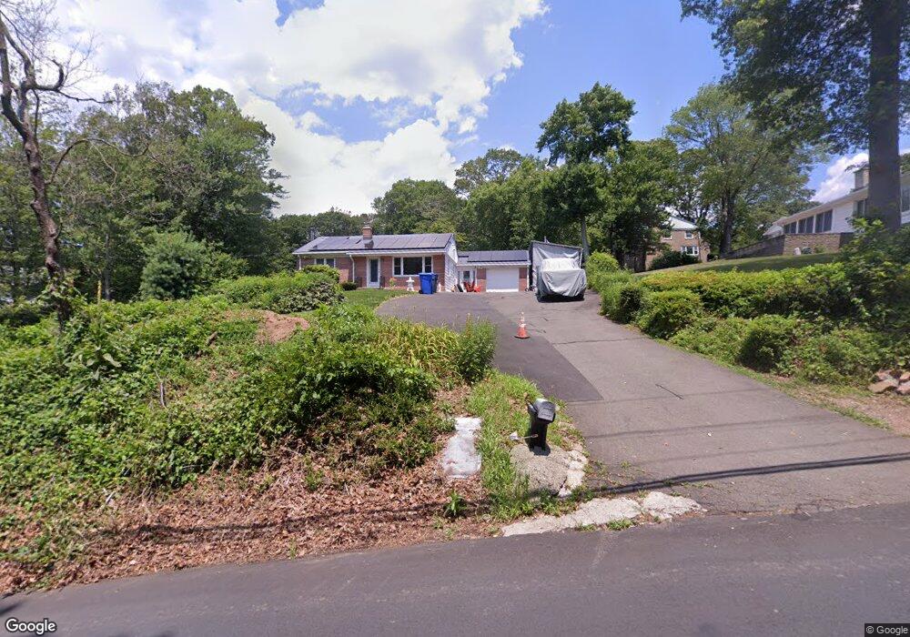
85 Four Rod Rd Hamden, CT 06514
Estimated Value: $310,000 - $380,000
3
Beds
1
Bath
1,008
Sq Ft
$344/Sq Ft
Est. Value
About This Home
This home is located at 85 Four Rod Rd, Hamden, CT 06514 and is currently estimated at $347,084, approximately $344 per square foot. 85 Four Rod Rd is a home located in New Haven County with nearby schools including Hamden Middle School, Hamden High School, and Alphabet Academy - Hamden North Campus.
Ownership History
Date
Name
Owned For
Owner Type
Purchase Details
Closed on
Jul 11, 2014
Sold by
Dangelo Richard J and Dangelo Kim G
Bought by
Dangelo Richard J and Dangelo Kim G
Current Estimated Value
Purchase Details
Closed on
Jul 2, 1990
Sold by
Est Donarum Frederick
Bought by
Dematteis Kim G
Home Financials for this Owner
Home Financials are based on the most recent Mortgage that was taken out on this home.
Original Mortgage
$113,600
Interest Rate
10.27%
Create a Home Valuation Report for This Property
The Home Valuation Report is an in-depth analysis detailing your home's value as well as a comparison with similar homes in the area
Home Values in the Area
Average Home Value in this Area
Purchase History
| Date | Buyer | Sale Price | Title Company |
|---|---|---|---|
| Dangelo Richard J | -- | -- | |
| Dematteis Kim G | $142,000 | -- |
Source: Public Records
Mortgage History
| Date | Status | Borrower | Loan Amount |
|---|---|---|---|
| Previous Owner | Dematteis Kim G | $178,900 | |
| Previous Owner | Dematteis Kim G | $111,500 | |
| Previous Owner | Dematteis Kim G | $113,600 |
Source: Public Records
Tax History
| Year | Tax Paid | Tax Assessment Tax Assessment Total Assessment is a certain percentage of the fair market value that is determined by local assessors to be the total taxable value of land and additions on the property. | Land | Improvement |
|---|---|---|---|---|
| 2025 | $11,073 | $213,430 | $60,970 | $152,460 |
| 2024 | $6,968 | $125,300 | $42,770 | $82,530 |
| 2023 | $7,064 | $125,300 | $42,770 | $82,530 |
| 2022 | $6,952 | $125,300 | $42,770 | $82,530 |
| 2021 | $6,571 | $125,300 | $42,770 | $82,530 |
| 2020 | $6,855 | $131,880 | $74,480 | $57,400 |
| 2019 | $6,444 | $131,880 | $74,480 | $57,400 |
| 2018 | $6,325 | $131,880 | $74,480 | $57,400 |
| 2017 | $5,969 | $131,880 | $74,480 | $57,400 |
| 2016 | $5,982 | $131,880 | $74,480 | $57,400 |
| 2015 | $6,237 | $152,600 | $82,740 | $69,860 |
| 2014 | $6,093 | $152,600 | $82,740 | $69,860 |
Source: Public Records
Map
Nearby Homes
- 8 Shepard Hill Rd Unit 8
- 33 Sky View Cir
- 491 Shepard Ave
- 766 Paradise Ave
- 200 Howard Dr
- 80 Kirk Rd
- 645 Paradise Ave
- 175 Mill Pond Rd Unit 346
- 175 Mill Pond Rd Unit 444
- 175 Mill Pond Rd Unit 214
- 175 Mill Pond Rd Unit 201
- 900 Mix Ave Unit 69
- 900 Mix Ave Unit 123
- 15 Farm Brook Ct
- 4 Raccio Park Rd
- 128 Shepards Knoll Dr Unit 128
- 737 Shepard Ave
- 92 Shepards Knoll Dr Unit 92
- 72 Shepards Knoll Dr
- 172 Towne House Rd
Your Personal Tour Guide
Ask me questions while you tour the home.