85 Hatfield Grove Dahlonega, GA 30533
Estimated Value: $113,625 - $379,000
--
Bed
1
Bath
1,338
Sq Ft
$172/Sq Ft
Est. Value
About This Home
This home is located at 85 Hatfield Grove, Dahlonega, GA 30533 and is currently estimated at $229,656, approximately $171 per square foot. 85 Hatfield Grove is a home located in Lumpkin County with nearby schools including Clay County Middle School and Lumpkin County High School.
Ownership History
Date
Name
Owned For
Owner Type
Purchase Details
Closed on
Mar 9, 2017
Sold by
Whitehead Herman E
Bought by
Whitehead Brittney Marie
Current Estimated Value
Purchase Details
Closed on
Mar 2, 2017
Sold by
Whitehead Shane Kirk
Bought by
Whitehead Herman E and Whitehead Cynthia Y
Purchase Details
Closed on
Jan 1, 2001
Bought by
Burgess Donald C
Purchase Details
Closed on
Mar 10, 1995
Sold by
Whitehead Herman
Bought by
Whitehead Shane Kirk
Purchase Details
Closed on
May 1, 1986
Sold by
Burgess Donald C
Bought by
Whitehead Herman
Create a Home Valuation Report for This Property
The Home Valuation Report is an in-depth analysis detailing your home's value as well as a comparison with similar homes in the area
Home Values in the Area
Average Home Value in this Area
Purchase History
| Date | Buyer | Sale Price | Title Company |
|---|---|---|---|
| Whitehead Brittney Marie | $30,000 | -- | |
| Whitehead Herman E | -- | -- | |
| Burgess Donald C | -- | -- | |
| Whitehead Shane Kirk | -- | -- | |
| Whitehead Herman | -- | -- |
Source: Public Records
Tax History Compared to Growth
Tax History
| Year | Tax Paid | Tax Assessment Tax Assessment Total Assessment is a certain percentage of the fair market value that is determined by local assessors to be the total taxable value of land and additions on the property. | Land | Improvement |
|---|---|---|---|---|
| 2024 | $534 | $24,738 | $8,860 | $15,878 |
| 2023 | $83 | $23,074 | $8,280 | $14,794 |
| 2022 | $445 | $19,972 | $6,900 | $13,072 |
| 2021 | $407 | $17,894 | $6,900 | $10,994 |
| 2020 | $404 | $17,296 | $6,612 | $10,684 |
| 2019 | $407 | $17,296 | $6,612 | $10,684 |
| 2018 | $403 | $16,192 | $6,612 | $9,580 |
| 2017 | $477 | $16,495 | $6,612 | $9,883 |
| 2016 | $457 | $15,282 | $6,612 | $8,670 |
| 2015 | $434 | $15,282 | $6,612 | $8,670 |
| 2014 | $434 | $16,471 | $6,612 | $9,859 |
| 2013 | -- | $16,768 | $6,612 | $10,156 |
Source: Public Records
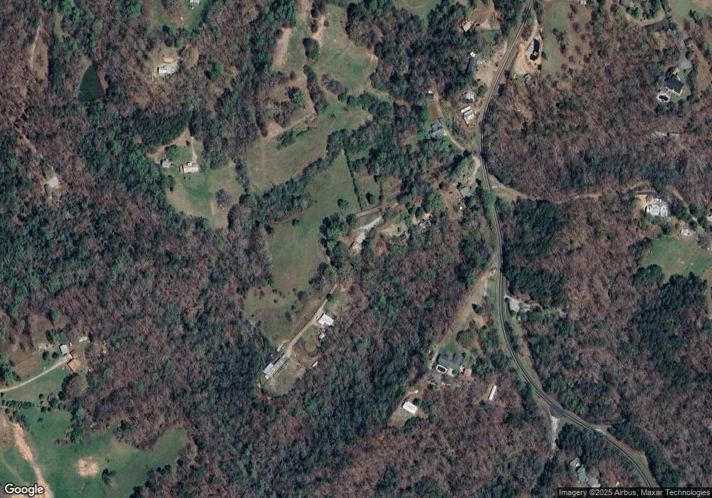
Map
Nearby Homes
- 45 Chestatee River Ridge
- 16 Welch Cir
- 64 Highview Ln
- 380 Copper Mill Rd
- 1063 Grindle Bridge Rd
- 202 Indian Trail
- 0 Arborwood Dr Unit 10645890
- 83 Austin Ct
- 128 Young Deer Dr
- 496 Beaver Dam Rd
- 87 Tolleffs Trail
- 86.99 Acres Mincie Mountain
- 372 Porter Springs Rd
- 0 Porter Springs Rd Unit 7685063
- 0 Porter Springs Rd Unit 10648400
- 165 Porter Springs Rd
- 0 Horseshoe Bend Rd Unit 10571975
- 0 Horseshoe Bend Rd Unit 7620338
- 31 Valhalla Dr
- 49 Hatfield Grove
- 231 Hatfield Grove
- 3027 Copper Mines Rd
- 147 Strawberry Ln
- 10 Hatfield Grove
- 99 Strawberry Ln
- 2914 Copper Mines Rd
- 196 Seabolt Rd
- 0A Hilburn Rd
- 3109 Copper Mines Rd
- 0 Hide Away Rd
- 58 Hatfield Cir
- 118 Hide Away Rd
- 217 Meadow Ln
- 91 Hilburn Rd
- 82 Chestatee River Ridge
- 154 Hilburn Rd
- 191 Hide Away Rd
- 3221 Copper Mines Rd
- 114 Laurel Ct