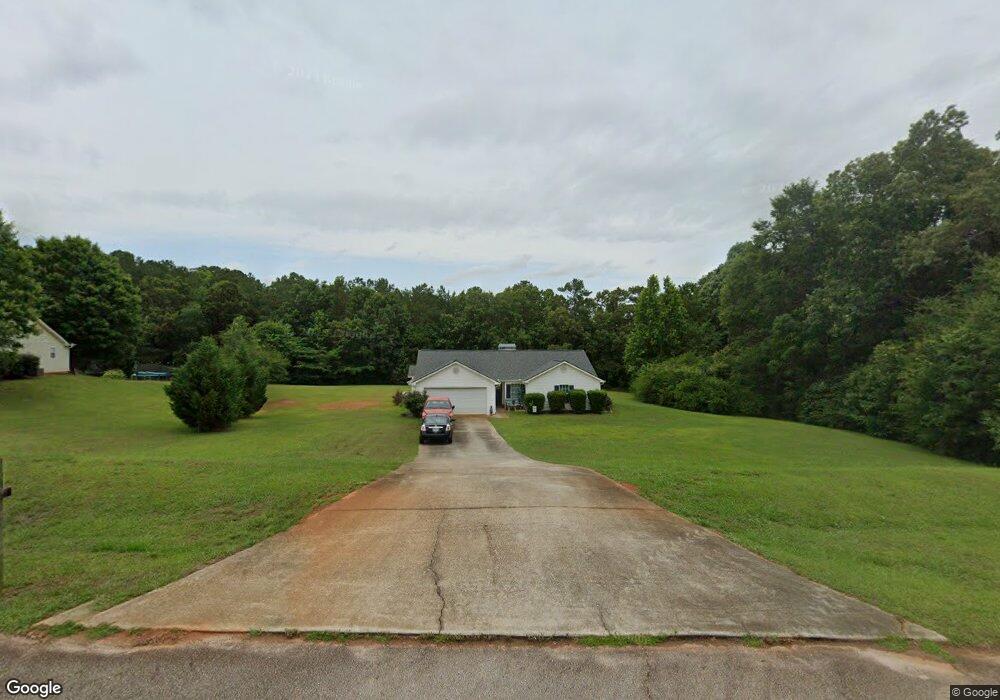
85 Huntington Place Unit I Covington, GA 30016
Estimated Value: $250,758 - $270,000
--
Bed
2
Baths
1,424
Sq Ft
$184/Sq Ft
Est. Value
About This Home
This home is located at 85 Huntington Place Unit I, Covington, GA 30016 and is currently estimated at $261,440, approximately $183 per square foot. 85 Huntington Place Unit I is a home located in Newton County with nearby schools including Rocky Plains Elementary School, Indian Creek Middle School, and Alcovy High School.
Ownership History
Date
Name
Owned For
Owner Type
Purchase Details
Closed on
Oct 26, 1998
Sold by
John Hawkins Const Inc
Bought by
Pearcock John David
Current Estimated Value
Home Financials for this Owner
Home Financials are based on the most recent Mortgage that was taken out on this home.
Original Mortgage
$87,832
Outstanding Balance
$17,609
Interest Rate
6.47%
Mortgage Type
FHA
Estimated Equity
$243,831
Create a Home Valuation Report for This Property
The Home Valuation Report is an in-depth analysis detailing your home's value as well as a comparison with similar homes in the area
Home Values in the Area
Average Home Value in this Area
Purchase History
| Date | Buyer | Sale Price | Title Company |
|---|---|---|---|
| Pearcock John David | $89,900 | -- |
Source: Public Records
Mortgage History
| Date | Status | Borrower | Loan Amount |
|---|---|---|---|
| Open | Pearcock John David | $87,832 |
Source: Public Records
Tax History Compared to Growth
Tax History
| Year | Tax Paid | Tax Assessment Tax Assessment Total Assessment is a certain percentage of the fair market value that is determined by local assessors to be the total taxable value of land and additions on the property. | Land | Improvement |
|---|---|---|---|---|
| 2025 | $2,533 | $105,480 | $16,400 | $89,080 |
| 2024 | $2,445 | $97,680 | $16,400 | $81,280 |
| 2023 | $2,195 | $82,240 | $5,600 | $76,640 |
| 2022 | $1,529 | $57,720 | $5,600 | $52,120 |
| 2021 | $1,435 | $48,960 | $5,600 | $43,360 |
| 2020 | $1,563 | $48,720 | $5,600 | $43,120 |
| 2019 | $1,617 | $49,640 | $5,600 | $44,040 |
| 2018 | $1,138 | $35,400 | $5,600 | $29,800 |
| 2017 | $1,142 | $35,520 | $5,600 | $29,920 |
| 2016 | $1,017 | $31,880 | $3,800 | $28,080 |
| 2015 | $874 | $27,960 | $4,800 | $23,160 |
| 2014 | $818 | $26,360 | $0 | $0 |
Source: Public Records
Map
Nearby Homes
- 25 Huntington Place
- 240 Riverbrooke Rd
- 165 Riverbrooke Terrace
- 4197 Highway 162 S
- 120 Aspen Forest Dr
- 360 Parr Farm Rd
- 4421 Sunrise Ridge
- 4735 Foxhollow Trail
- 4749 Foxhollow Trail
- KINGSTON Plan at The Ridge at Twin Rivers
- GARDNER Plan at The Ridge at Twin Rivers
- ELLINGTON Plan at The Ridge at Twin Rivers
- ESSEX Plan at The Ridge at Twin Rivers
- 60 Cypress Dr
- 4607 Sunrise Ridge
- 4617 Sunrise Ridge
- 245 Cypress Dr
- 2910 Highway 212
- 230 Oak Meadows Place
- 225 Avery Dr
- 75 Huntington Place
- 95 Huntington Place
- 105 Huntington Place
- 70 Riverbrooke Trail Unit 1
- 65 Huntington Place Unit 1
- 90 Huntington Place
- 80 Huntington Place Unit 1
- 60 Riverbrooke Trail
- 60 Huntington Place
- 110 Huntington Place
- 100 Huntington Place Unit 1
- 55 Huntington Place
- 50 Riverbrooke Trail
- 50 Huntington Place Unit 1
- 80 Riverbrooke Trail
- 45 Huntington Place
- 40 Riverbrooke Trail Unit 1
- 40 Huntington Place Unit 1
- 242 Dry Pond Rd
- 30 Riverbrooke Trail Unit 1