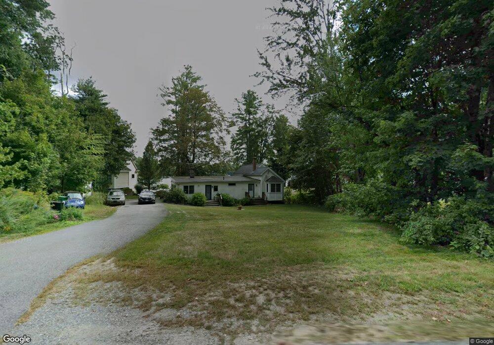
85 Island Rd Unit 2 Lunenburg, MA 01462
Estimated Value: $590,000 - $665,692
2
Beds
1
Bath
810
Sq Ft
$789/Sq Ft
Est. Value
About This Home
This home is located at 85 Island Rd Unit 2, Lunenburg, MA 01462 and is currently estimated at $639,423, approximately $789 per square foot. 85 Island Rd Unit 2 is a home located in Worcester County with nearby schools including Lunenburg Primary School and Lunenburg High School.
Ownership History
Date
Name
Owned For
Owner Type
Purchase Details
Closed on
Dec 10, 2014
Sold by
Bartnowski Linda R
Bought by
Bartnowski Michael A
Current Estimated Value
Purchase Details
Closed on
Sep 3, 2009
Sold by
Bartnowski Linda Rae
Bought by
Bartnowski Michael A
Purchase Details
Closed on
Sep 6, 2006
Sold by
Ayotte Glenys R Est and Norcross Richard E
Bought by
Bartnowski Linda Rae
Create a Home Valuation Report for This Property
The Home Valuation Report is an in-depth analysis detailing your home's value as well as a comparison with similar homes in the area
Home Values in the Area
Average Home Value in this Area
Purchase History
| Date | Buyer | Sale Price | Title Company |
|---|---|---|---|
| Bartnowski Michael A | -- | -- | |
| Bartnowski Michael A | -- | -- | |
| Bartnowski Linda Rae | -- | -- |
Source: Public Records
Tax History Compared to Growth
Tax History
| Year | Tax Paid | Tax Assessment Tax Assessment Total Assessment is a certain percentage of the fair market value that is determined by local assessors to be the total taxable value of land and additions on the property. | Land | Improvement |
|---|---|---|---|---|
| 2025 | $8,546 | $595,100 | $450,500 | $144,600 |
| 2024 | $9,234 | $654,900 | $424,600 | $230,300 |
| 2023 | $10,336 | $707,000 | $521,900 | $185,100 |
| 2022 | $6,864 | $399,300 | $221,900 | $177,400 |
| 2020 | $7,531 | $415,600 | $221,900 | $193,700 |
| 2019 | $7,097 | $379,900 | $201,700 | $178,200 |
| 2018 | $6,562 | $333,100 | $192,200 | $140,900 |
| 2017 | $6,410 | $320,800 | $185,100 | $135,700 |
| 2016 | $6,016 | $306,800 | $173,500 | $133,300 |
| 2015 | $5,272 | $287,800 | $157,700 | $130,100 |
Source: Public Records
Map
Nearby Homes
- 167 S Row Rd
- 55 Beachview Rd
- 91 Valley Rd
- 7 Hickory Ln
- 00 Tyler Rd
- 63 Holman St
- 319 Highland St
- 691 Chase Rd
- 0 Tyler Rd Unit 72560808
- 64 Chestnut St
- 1790 Massachusetts Ave Unit 25
- 1790 Mass Ave Unit 3
- 1790 Massachusetts Ave Unit 22
- 35 Leominster Rd
- 5 Chestnut Dr
- 2 Tamarack Ln
- 64 Maplewood Dr
- 830 Massachusetts Ave
- 166 Elmwood Rd
- 711 Massachusetts Ave Unit 2