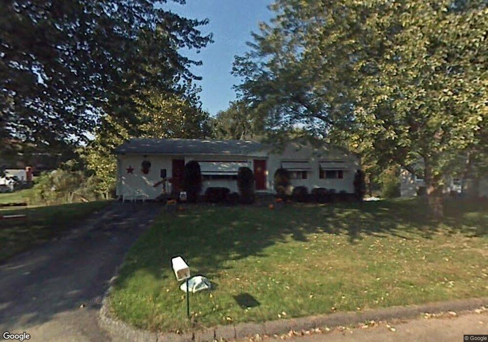
85 Knollwood Cir Holyoke, MA 01040
Estimated Value: $314,964 - $336,000
3
Beds
1
Bath
1,918
Sq Ft
$170/Sq Ft
Est. Value
About This Home
This home is located at 85 Knollwood Cir, Holyoke, MA 01040 and is currently estimated at $325,491, approximately $169 per square foot. 85 Knollwood Cir is a home located in Hampden County with nearby schools including Lt. Elmer J. McMahon Elementary School, Holyoke High School, and Blessed Sacrament School.
Ownership History
Date
Name
Owned For
Owner Type
Purchase Details
Closed on
Jun 6, 2023
Sold by
Larrow Raymond L and Larrow Mary M
Bought by
Larrow Raymond L and Ocarroll Kelley
Current Estimated Value
Purchase Details
Closed on
Jun 30, 1976
Bought by
Larrow Raymond L and Larrow Mary M
Create a Home Valuation Report for This Property
The Home Valuation Report is an in-depth analysis detailing your home's value as well as a comparison with similar homes in the area
Home Values in the Area
Average Home Value in this Area
Purchase History
| Date | Buyer | Sale Price | Title Company |
|---|---|---|---|
| Larrow Raymond L | -- | None Available | |
| Larrow Raymond L | -- | -- |
Source: Public Records
Mortgage History
| Date | Status | Borrower | Loan Amount |
|---|---|---|---|
| Previous Owner | Larrow Raymond L | $34,500 |
Source: Public Records
Tax History Compared to Growth
Tax History
| Year | Tax Paid | Tax Assessment Tax Assessment Total Assessment is a certain percentage of the fair market value that is determined by local assessors to be the total taxable value of land and additions on the property. | Land | Improvement |
|---|---|---|---|---|
| 2025 | $3,929 | $225,000 | $64,600 | $160,400 |
| 2024 | $3,726 | $196,600 | $61,600 | $135,000 |
| 2023 | $3,576 | $190,600 | $61,600 | $129,000 |
| 2022 | $3,480 | $180,700 | $61,600 | $119,100 |
| 2021 | $3,359 | $174,300 | $58,900 | $115,400 |
| 2020 | $3,163 | $165,800 | $58,900 | $106,900 |
| 2019 | $3,115 | $161,500 | $58,900 | $102,600 |
| 2018 | $2,986 | $156,100 | $58,900 | $97,200 |
| 2017 | $2,992 | $156,100 | $58,900 | $97,200 |
| 2016 | $3,002 | $157,000 | $60,800 | $96,200 |
| 2015 | $2,989 | $157,000 | $60,800 | $96,200 |
Source: Public Records
Map
Nearby Homes
- 794 Homestead Ave
- 695 Homestead Ave
- Lot A Homestead Ave
- 53 Farnum Dr Unit 53
- 12 Gordon Dr
- 286 Westfield Rd
- lot b Homestead Ave
- 85 Woodland St
- 84 Woodland St
- 244 Ontario Ave
- 128 Ontario Ave
- 958 Main St
- 25 W Glen St
- 78 Hitchcock St
- 934 Main St
- 70-72 Westfield Rd
- 43 King St
- 9 Prew Ave Unit 4A
- 44 Laurel St
- 33 Maple Crest Cir Unit D
- 87 Knollwood Cir
- 81 Knollwood Cir
- 798 Homestead Ave
- 77 Knollwood Cir
- 91 Knollwood Cir
- 82 Knollwood Cir
- 802 Homestead Ave
- 790 Homestead Ave
- 71 Knollwood Cir
- 90 Knollwood Cir
- 806 Homestead Ave
- 95 Knollwood Cir
- 786 Homestead Ave
- 19 Green Willow Dr
- 15 Green Willow Dr
- 74 Knollwood Cir
- 23 Green Willow Dr
- 795 Homestead Ave
- 26 Village Rd
- 783 Homestead Ave