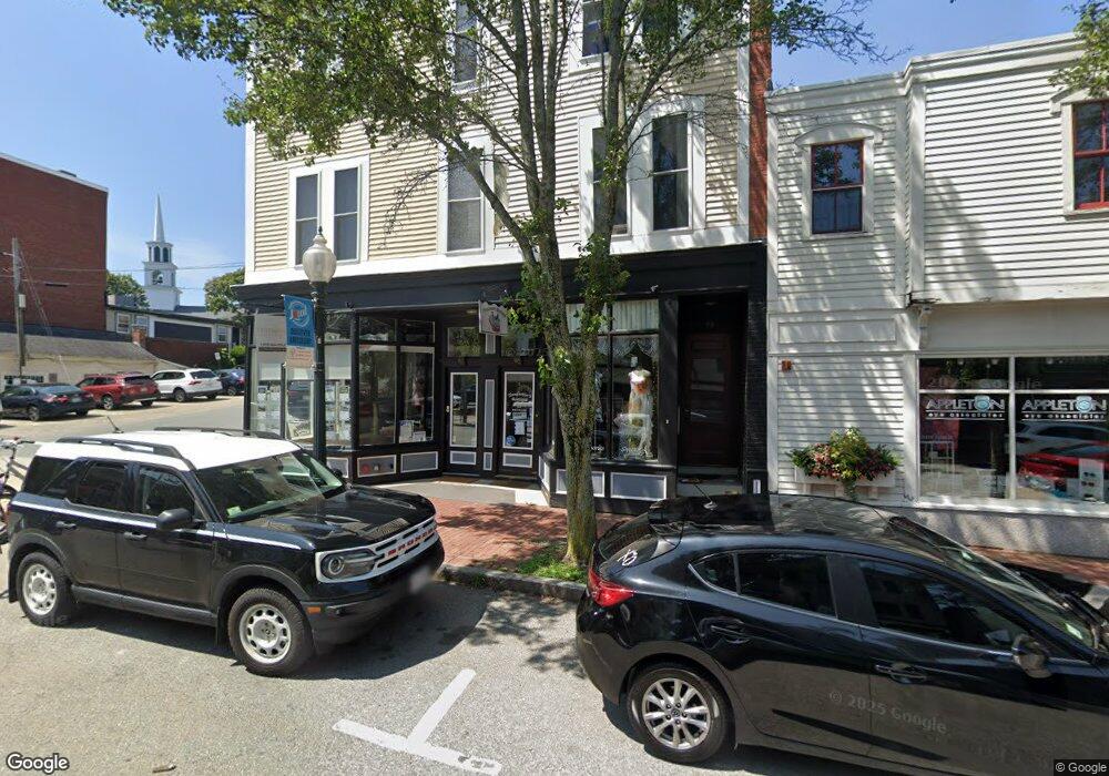
85 Main St Amesbury, MA 01913
Estimated Value: $393,344
Studio
1
Bath
6,700
Sq Ft
$59/Sq Ft
Est. Value
About This Home
This home is located at 85 Main St, Amesbury, MA 01913 and is currently estimated at $393,344, approximately $58 per square foot. 85 Main St is a home located in Essex County with nearby schools including Amesbury High School and Amesbury Seventh-Day Adventist School.
Ownership History
Date
Name
Owned For
Owner Type
Purchase Details
Closed on
Feb 12, 2026
Sold by
Naso Robert
Bought by
Naso Rt and Picard
Current Estimated Value
Purchase Details
Closed on
Aug 1, 2014
Sold by
Bsb Shoes Llc
Bought by
Naso Robert
Purchase Details
Closed on
Dec 22, 2003
Sold by
Young Al R and Young Bonnie J
Bought by
Bsb Shoes Llc
Home Financials for this Owner
Home Financials are based on the most recent Mortgage that was taken out on this home.
Original Mortgage
$133,000
Interest Rate
5.96%
Mortgage Type
Commercial
Create a Home Valuation Report for This Property
The Home Valuation Report is an in-depth analysis detailing your home's value as well as a comparison with similar homes in the area
Home Values in the Area
Average Home Value in this Area
Purchase History
| Date | Buyer | Sale Price | Title Company |
|---|---|---|---|
| Naso Rt | -- | -- | |
| Naso Robert | -- | -- | |
| Bsb Shoes Llc | $185,000 | -- |
Source: Public Records
Mortgage History
| Date | Status | Borrower | Loan Amount |
|---|---|---|---|
| Previous Owner | Bsb Shoes Llc | $133,000 |
Source: Public Records
Tax History
| Year | Tax Paid | Tax Assessment Tax Assessment Total Assessment is a certain percentage of the fair market value that is determined by local assessors to be the total taxable value of land and additions on the property. | Land | Improvement |
|---|---|---|---|---|
| 2025 | $2,345 | $153,300 | $0 | $153,300 |
| 2024 | $2,398 | $153,300 | $0 | $153,300 |
| 2023 | $2,399 | $146,800 | $0 | $146,800 |
| 2022 | $2,560 | $144,700 | $0 | $144,700 |
| 2021 | $2,404 | $131,700 | $0 | $131,700 |
| 2020 | $2,263 | $131,700 | $0 | $131,700 |
| 2019 | $1,273 | $69,300 | $0 | $69,300 |
| 2018 | $1,316 | $69,300 | $0 | $69,300 |
| 2017 | $2,093 | $104,900 | $0 | $104,900 |
| 2016 | $2,026 | $99,900 | $0 | $99,900 |
| 2015 | $2,052 | $99,900 | $0 | $99,900 |
| 2014 | $2,095 | $99,900 | $0 | $99,900 |
Source: Public Records
Map
Nearby Homes
- 8 Winter St
- 20 Lincoln Ct
- 4 Larnard Ct
- 4 Boardman St
- 97 Elm St
- 25 Cedar St Unit 4
- 27 Lake St
- 3 Tremont Ave Unit A
- 101 Market St Unit B
- 48 Orchard St
- 4 Greenwood St
- 10 Congress St Unit 302
- 1 Hillside Ave Unit 3
- 21 River St
- 19 Maple St Unit 21
- 21 Congress St
- 24 Collins St
- 15 Wells Ave
- 35 Huntington Ave
- 5 Russell St Unit 1
- 87 Main St Unit 1
- 87 Main St
- 85 Main St Unit 2
- 83 Main St Unit 6
- 83 Main St Unit 5
- 83 Main St Unit 4
- 83 Main St Unit 3
- 80 1 2 Main St
- 69 Main St
- 69 Main St Unit 69
- 71 Main St Unit 71
- 71 Main St
- 71 Main St
- 69 Main St
- 73 Main St Unit 73
- 73 Main St
- 80 1/2-82 Main St
- 75 Main St Unit 69 & 71
- 75 Main St Unit 105
- 75 Main St Unit Q
Your Personal Tour Guide
Ask me questions while you tour the home.