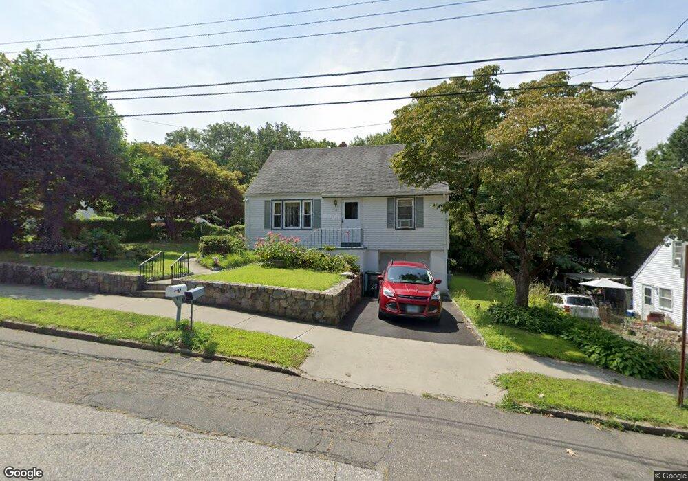
85 Memory Ln Bridgeport, CT 06606
Reservoir-Whiskey Hill NeighborhoodEstimated Value: $385,000 - $452,000
3
Beds
1
Bath
1,404
Sq Ft
$299/Sq Ft
Est. Value
About This Home
This home is located at 85 Memory Ln, Bridgeport, CT 06606 and is currently estimated at $420,445, approximately $299 per square foot. 85 Memory Ln is a home located in Fairfield County with nearby schools including Wilbur L. Cross Elementary School, Central High School, and Northeastern Adventist Academy - Fairfield County.
Ownership History
Date
Name
Owned For
Owner Type
Purchase Details
Closed on
Jan 2, 2019
Sold by
Ramos Herminio
Bought by
Laffitte Susie
Current Estimated Value
Purchase Details
Closed on
Dec 29, 2016
Sold by
Laffitte Susie
Bought by
Ramos Herminio
Home Financials for this Owner
Home Financials are based on the most recent Mortgage that was taken out on this home.
Original Mortgage
$22,000
Interest Rate
4.12%
Mortgage Type
Credit Line Revolving
Purchase Details
Closed on
Mar 19, 2013
Sold by
Ramos Herminto
Bought by
Ramos Theresa
Purchase Details
Closed on
Jun 30, 1981
Bought by
Laffitte Susie
Create a Home Valuation Report for This Property
The Home Valuation Report is an in-depth analysis detailing your home's value as well as a comparison with similar homes in the area
Home Values in the Area
Average Home Value in this Area
Purchase History
| Date | Buyer | Sale Price | Title Company |
|---|---|---|---|
| Laffitte Susie | -- | -- | |
| Laffitte Susie | -- | -- | |
| Ramos Herminio | -- | -- | |
| Ramos Herminio | -- | -- | |
| Ramos Theresa | -- | -- | |
| Ramos Theresa | -- | -- | |
| Laffitte Susie | -- | -- |
Source: Public Records
Mortgage History
| Date | Status | Borrower | Loan Amount |
|---|---|---|---|
| Previous Owner | Laffitte Susie | $22,000 | |
| Previous Owner | Laffitte Susie | $76,500 |
Source: Public Records
Tax History
| Year | Tax Paid | Tax Assessment Tax Assessment Total Assessment is a certain percentage of the fair market value that is determined by local assessors to be the total taxable value of land and additions on the property. | Land | Improvement |
|---|---|---|---|---|
| 2025 | $6,143 | $141,380 | $69,060 | $72,320 |
| 2024 | $6,143 | $141,380 | $69,060 | $72,320 |
| 2023 | $6,143 | $141,380 | $69,060 | $72,320 |
| 2022 | $6,143 | $141,380 | $69,060 | $72,320 |
| 2021 | $6,143 | $141,380 | $69,060 | $72,320 |
| 2020 | $5,855 | $108,440 | $48,110 | $60,330 |
| 2019 | $5,855 | $108,440 | $48,110 | $60,330 |
| 2018 | $5,896 | $108,440 | $48,110 | $60,330 |
| 2017 | $5,896 | $108,440 | $48,110 | $60,330 |
| 2016 | $5,896 | $108,440 | $48,110 | $60,330 |
| 2015 | $6,374 | $151,050 | $61,260 | $89,790 |
| 2014 | $6,374 | $151,050 | $61,260 | $89,790 |
Source: Public Records
Map
Nearby Homes
- 1403 Old Town Rd Unit 1403
- 74 Village Ln
- 563 Lakeside Dr
- 1376 Chopsey Hill Rd
- 1320 Chopsey Hill Rd
- 46 Oakleaf St
- 11 Linda Dr
- 364 Griffin Ave
- 26 Karen Ct Unit A
- 165 Yaremich Dr
- 82 Yaremich Dr
- 45 Frenchtown Rd
- 65 Clearview Dr
- 291 Frenchtown Rd
- 274 Platt St
- 65 Bonnie View Dr
- 181 Cityview Ave
- 365 Platt St
- 410 Alba Ave
- 85 Platt St
- 97 Memory Ln
- 69 Memory Ln
- 1882 Chopsey Hill Rd
- 55 Memory Ln
- 88 Memory Ln
- 72 Memory Ln
- 102 Memory Ln
- 1864 Chopsey Hill Rd
- 58 Memory Ln
- 41 Memory Ln
- 1860 Chopsey Hill Rd Unit 1862
- 1860 Chopsey Hill Rd Unit 2
- 1860 Chopsey Hill Rd Unit 1
- 1903 Chopsey Hill Rd
- 1893 Chopsey Hill Rd
- 1913 Chopsey Hill Rd
- 42 Memory Ln
- 1887 Chopsey Hill Rd
- 1925 Chopsey Hill Rd
- 248 Red Oak Rd
Your Personal Tour Guide
Ask me questions while you tour the home.