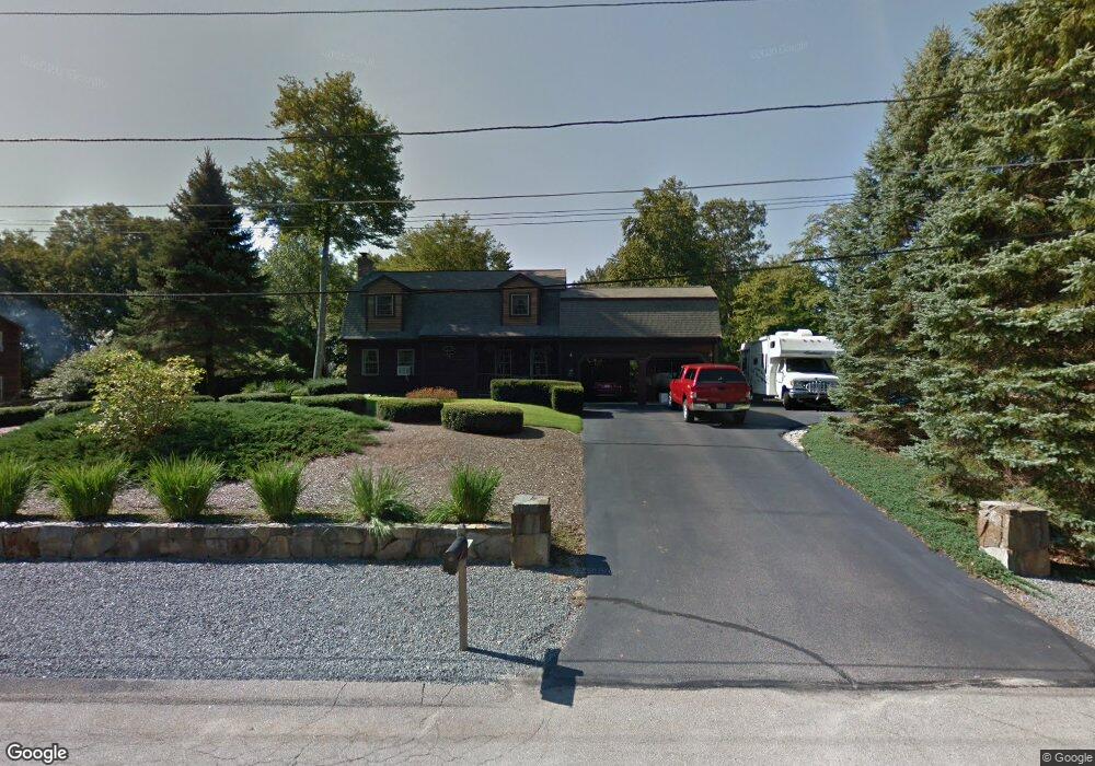
85 Metacomet St Wrentham, MA 02093
Estimated Value: $688,469 - $750,000
3
Beds
2
Baths
1,764
Sq Ft
$410/Sq Ft
Est. Value
About This Home
This home is located at 85 Metacomet St, Wrentham, MA 02093 and is currently estimated at $723,867, approximately $410 per square foot. 85 Metacomet St is a home located in Norfolk County with nearby schools including Delaney Elementary School and Charles E Roderick.
Ownership History
Date
Name
Owned For
Owner Type
Purchase Details
Closed on
Aug 9, 1983
Bought by
Tower Daniel G and Tower Nancy J
Current Estimated Value
Create a Home Valuation Report for This Property
The Home Valuation Report is an in-depth analysis detailing your home's value as well as a comparison with similar homes in the area
Home Values in the Area
Average Home Value in this Area
Purchase History
| Date | Buyer | Sale Price | Title Company |
|---|---|---|---|
| Tower Daniel G | -- | -- |
Source: Public Records
Mortgage History
| Date | Status | Borrower | Loan Amount |
|---|---|---|---|
| Open | Tower Daniel G | $70,000 | |
| Closed | Tower Daniel G | $40,000 | |
| Closed | Tower Daniel G | $94,000 |
Source: Public Records
Tax History Compared to Growth
Tax History
| Year | Tax Paid | Tax Assessment Tax Assessment Total Assessment is a certain percentage of the fair market value that is determined by local assessors to be the total taxable value of land and additions on the property. | Land | Improvement |
|---|---|---|---|---|
| 2025 | $7,352 | $634,300 | $318,400 | $315,900 |
| 2024 | $7,069 | $589,100 | $318,400 | $270,700 |
| 2023 | $7,068 | $560,100 | $289,500 | $270,600 |
| 2022 | $6,534 | $478,000 | $248,400 | $229,600 |
| 2021 | $6,766 | $480,900 | $261,100 | $219,800 |
| 2020 | $5,905 | $414,400 | $184,800 | $229,600 |
| 2019 | $5,966 | $422,500 | $192,900 | $229,600 |
| 2018 | $5,689 | $399,500 | $193,100 | $206,400 |
| 2017 | $5,565 | $390,500 | $189,400 | $201,100 |
| 2016 | $5,336 | $373,700 | $183,900 | $189,800 |
| 2015 | $5,274 | $352,100 | $176,800 | $175,300 |
| 2014 | $5,323 | $347,700 | $170,000 | $177,700 |
Source: Public Records
Map
Nearby Homes
- 570 Franklin St
- 131 Creek St Unit 7
- Lot 3 - 14 Earle Stewart Ln
- 11 Earle Stewart Ln
- Lot 1 - Blueberry 2 Car Plan at King Philip Estates
- Lot 8 - Blueberry 2 Car Plan at King Philip Estates
- Lot 5 - Hughes 2 car Plan at King Philip Estates
- Lot 6 - Blueberry 3 Car Plan at King Philip Estates
- Lot 2 - Camden 2 Car Plan at King Philip Estates
- Lot 7 - Cedar Plan at King Philip Estates
- Lot 4 - Hemingway 2 Car Plan at King Philip Estates
- Lot 3 - Blueberry 2 Car Plan at King Philip Estates
- 50 Reed Fulton Ave Unit Lot 61
- 10 Nature View Dr
- 15 Nature View Dr
- 45 Joshua Rd
- 319 Taunton St
- 270 Dedham St
- 246 Forest Grove Ave
- 1 Lorraine Metcalf Dr
- 95 Metacomet St
- 75 Metacomet St
- 90 Metacomet St
- 80 Metacomet St
- 100 Metacomet St
- 70 Metacomet St
- 65 Metacomet St
- 140 Gilmore Rd
- 130 Gilmore Rd
- 100 Gilmore Rd
- 55 Metacomet St
- 137 Gilmore Rd
- 155 Gilmore Rd
- 110 Gilmore Rd
- 139 Gilmore Rd
- 139 Gilmore Rd Unit 1
- 60 Metacomet St
- 80 Gilmore Rd Unit 80
- 131 Gilmore Rd
- 50 Metacomet St