85 Narrows Rd MacHiasport, ME 04655
Estimated Value: $241,000 - $437,000
2
Beds
1
Bath
1,602
Sq Ft
$200/Sq Ft
Est. Value
About This Home
This home is located at 85 Narrows Rd, MacHiasport, ME 04655 and is currently estimated at $320,202, approximately $199 per square foot. 85 Narrows Rd is a home with nearby schools including Fort O'Brien School and Washington Academy.
Ownership History
Date
Name
Owned For
Owner Type
Purchase Details
Closed on
Jul 17, 2006
Sold by
Jones Stephen D and Jones Christine J
Bought by
Preston Timothy S and Clineff Kindra L
Current Estimated Value
Home Financials for this Owner
Home Financials are based on the most recent Mortgage that was taken out on this home.
Original Mortgage
$204,000
Outstanding Balance
$121,511
Interest Rate
6.71%
Mortgage Type
Stand Alone Second
Estimated Equity
$198,691
Create a Home Valuation Report for This Property
The Home Valuation Report is an in-depth analysis detailing your home's value as well as a comparison with similar homes in the area
Home Values in the Area
Average Home Value in this Area
Purchase History
| Date | Buyer | Sale Price | Title Company |
|---|---|---|---|
| Preston Timothy S | -- | -- |
Source: Public Records
Mortgage History
| Date | Status | Borrower | Loan Amount |
|---|---|---|---|
| Open | Preston Timothy S | $204,000 |
Source: Public Records
Tax History Compared to Growth
Tax History
| Year | Tax Paid | Tax Assessment Tax Assessment Total Assessment is a certain percentage of the fair market value that is determined by local assessors to be the total taxable value of land and additions on the property. | Land | Improvement |
|---|---|---|---|---|
| 2024 | $2,408 | $185,210 | $111,450 | $73,760 |
| 2023 | $2,145 | $170,250 | $101,450 | $68,800 |
| 2022 | $1,740 | $141,460 | $78,470 | $62,990 |
| 2021 | $1,542 | $141,460 | $78,470 | $62,990 |
| 2020 | $1,768 | $141,460 | $78,470 | $62,990 |
| 2019 | $816 | $111,442 | $70,488 | $40,954 |
| 2018 | $22 | $111,442 | $70,488 | $40,954 |
| 2017 | $754 | $111,442 | $70,488 | $40,954 |
| 2016 | $1,950 | $111,442 | $70,488 | $40,954 |
| 2015 | $2,028 | $111,442 | $70,488 | $40,954 |
| 2014 | $2,028 | $111,442 | $70,488 | $40,954 |
| 2013 | $2,017 | $111,442 | $70,488 | $40,954 |
Source: Public Records
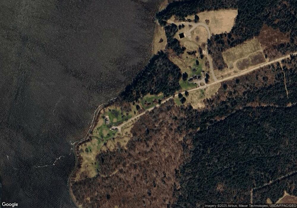
Map
Nearby Homes
- 366 Port Rd
- 37 Corn Hill Rd
- 33 Corn Hill Rd
- 4-28 Old Town Rd Old County Rd Rd
- 85 E Side Rd
- 21-5-3 E Palmer Rd
- 12 W Palmer Rd
- 379 Cutler Rd
- 576 Port Rd
- 76 Dunns Point Way
- 321 Cutler Rd
- 191 Route 191 N
- 285 & 291 Cutler Rd
- 1 Puffins Ln
- MarkayEast Puffins Ln
- 80 Holmes Way
- 780 Cutler Rd
- 787 Cutler Rd
- 65 Lookout Mountain Rd
- 9 Tupper Ln
- 85 Narrows
- 67 Narrows Rd
- 99 Narrows Rd
- Lot 27 Narrows Rd
- 0 Narrows Rd Unit 406837
- 0 Narrows Rd Unit 1327950
- 70 Renshaw Ln
- 70 Grinnel Ln
- 44 Oceanview Ln
- 145 E Side Rd
- 318 Port Rd
- 281 E Side Rd
- 309 Port Rd
- 0 Corn Hill Unit 1044168
- 321 Port Rd
- 325 Port Rd
- 299 Port Rd
- 329 Port Rd
- 307 Port Rd
- 9 Corn Hill