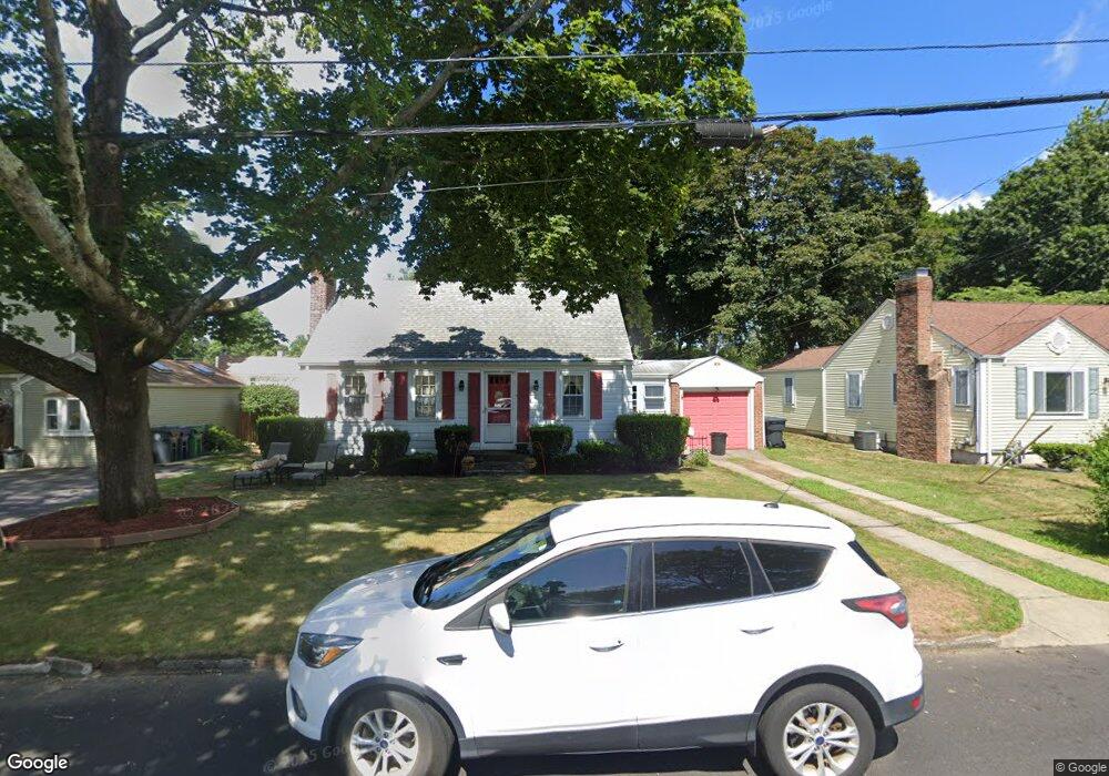
85 Normandy Dr Warwick, RI 02886
Greenwood NeighborhoodEstimated Value: $380,000 - $423,000
About This Home
This home is located at 85 Normandy Dr, Warwick, RI 02886 and is currently estimated at $397,025, approximately $258 per square foot. 85 Normandy Dr is a home located in Kent County with nearby schools including St Rose Of Lima School and Eleanor Briggs School.
Ownership History
We collect this data history from publicly available records. To have your information removed, we recommend requesting removal directly through your county’s website.
Purchase Details
Home Values in the Area
Average Home Value in this Area
Purchase History
We collect this data history from publicly available records. To have your information removed, we recommend requesting removal directly through your county’s website.
| Date | Buyer | Sale Price | Title Company |
|---|---|---|---|
| $185,000 | -- |
Tax History
We collect this data history from publicly available records. To have your information removed, we recommend requesting removal directly through your county’s website.
| Year | Tax Paid | Tax Assessment Tax Assessment Total Assessment is a certain percentage of the fair market value that is determined by local assessors to be the total taxable value of land and additions on the property. | Land | Improvement |
|---|---|---|---|---|
| 2025 | $4,307 | $339,100 | $104,800 | $234,300 |
| 2024 | $3,965 | $274,000 | $82,900 | $191,100 |
| 2023 | $3,888 | $274,000 | $82,900 | $191,100 |
| 2022 | $3,750 | $200,200 | $57,300 | $142,900 |
| 2021 | $3,750 | $200,200 | $57,300 | $142,900 |
| 2020 | $3,750 | $200,200 | $57,300 | $142,900 |
| 2019 | $3,750 | $200,200 | $57,300 | $142,900 |
| 2018 | $3,644 | $175,200 | $56,000 | $119,200 |
| 2017 | $3,546 | $175,200 | $56,000 | $119,200 |
| 2016 | $3,546 | $175,200 | $56,000 | $119,200 |
| 2015 | $3,469 | $167,200 | $56,300 | $110,900 |
| 2014 | $3,354 | $167,200 | $56,300 | $110,900 |
| 2013 | $3,309 | $167,200 | $56,300 | $110,900 |
Map
- 48 Wesleyan Ave
- 16 Arrow Ave
- 74 Stephens Ave
- 111 Hayes St
- 26 Davis Cir
- 4 Wicks Ct
- 37 Child Ln
- 36 Mary Beth Dr
- 66 Child Ln
- 182 Gorham Ave
- 25 Oakridge Ct
- 54 Carpenter St
- 199 Main Ave
- 142 Adrian St
- 2907 Post Rd Unit 6
- 2907 Post Rd Unit 1
- 2907 Post Rd Unit 4
- 2907 Post Rd Unit 3
- 197 Grand View Dr
- 40 Greenwood Ave
- 79 Normandy Dr
- 91 Normandy Dr
- 312 Groveland Ave
- 71 Normandy Dr
- 300 Groveland Ave
- 99 Normandy Dr
- 76 Normandy Dr
- 90 Normandy Dr
- 63 Normandy Dr
- 98 Normandy Dr
- 170 Brunswick Dr
- 290 Groveland Ave
- 108 Normandy Dr
- 55 Normandy Dr
- 303 Groveland Ave
- 64 Normandy Dr
- 311 Groveland Ave
- 297 Groveland Ave
- 164 Brunswick Dr
- 157 Brunswick Dr
Ask me questions while you tour the home.