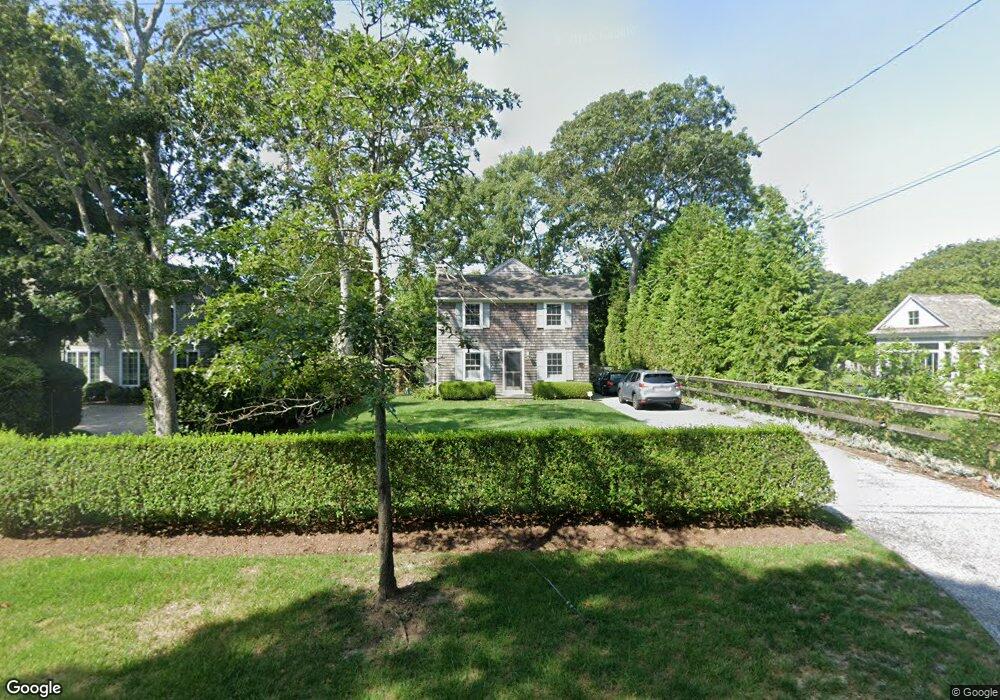
85 Old Depot Rd Quogue, NY 11959
Estimated Value: $1,506,114 - $1,865,000
4
Beds
1
Bath
1,344
Sq Ft
$1,233/Sq Ft
Est. Value
About This Home
This home is located at 85 Old Depot Rd, Quogue, NY 11959 and is currently estimated at $1,657,029, approximately $1,232 per square foot. 85 Old Depot Rd is a home.
Ownership History
Date
Name
Owned For
Owner Type
Purchase Details
Closed on
Apr 16, 2007
Sold by
Moore John H and Moore Brooke J
Bought by
Lewis Wh Ramsay and Lewis Julia E
Current Estimated Value
Purchase Details
Closed on
Oct 5, 2001
Sold by
Wilson Barbara J
Bought by
Moore John H and Moore Brooke J
Home Financials for this Owner
Home Financials are based on the most recent Mortgage that was taken out on this home.
Original Mortgage
$34,000
Interest Rate
6.86%
Mortgage Type
Credit Line Revolving
Create a Home Valuation Report for This Property
The Home Valuation Report is an in-depth analysis detailing your home's value as well as a comparison with similar homes in the area
Home Values in the Area
Average Home Value in this Area
Purchase History
| Date | Buyer | Sale Price | Title Company |
|---|---|---|---|
| Lewis Wh Ramsay | $1,100,000 | Patricia Doran | |
| Lewis Wh Ramsay | $1,100,000 | Patricia Doran | |
| Moore John H | $340,000 | Chicago Title |
Source: Public Records
Mortgage History
| Date | Status | Borrower | Loan Amount |
|---|---|---|---|
| Previous Owner | Moore John H | $34,000 | |
| Previous Owner | Moore John H | $272,000 |
Source: Public Records
Tax History Compared to Growth
Tax History
| Year | Tax Paid | Tax Assessment Tax Assessment Total Assessment is a certain percentage of the fair market value that is determined by local assessors to be the total taxable value of land and additions on the property. | Land | Improvement |
|---|---|---|---|---|
| 2024 | $4,256 | $1,025,000 | $807,700 | $217,300 |
| 2023 | $2,038 | $1,025,000 | $807,700 | $217,300 |
| 2022 | $2,004 | $1,025,000 | $807,700 | $217,300 |
| 2021 | $1,884 | $1,025,000 | $807,700 | $217,300 |
| 2020 | $4,635 | $1,025,000 | $807,700 | $217,300 |
| 2019 | $4,760 | $0 | $0 | $0 |
| 2018 | -- | $992,500 | $807,700 | $184,800 |
| 2017 | $2,493 | $908,000 | $760,200 | $147,800 |
| 2016 | $2,680 | $908,000 | $760,200 | $147,800 |
| 2015 | -- | $908,000 | $760,200 | $147,800 |
| 2014 | -- | $908,000 | $760,200 | $147,800 |
Source: Public Records
Map
Nearby Homes
- 69 Old Depot Rd
- 8 Hidden Path
- 39A Foster Rd
- 37 Foster Rd
- 107 Quogue St
- 107 Jessup Ave
- 39 & 41 Foster Rd
- 25 Jessups Landing Ct E
- 5A/5B Jessup Ln
- 149 Montauk Hwy
- 125 Montauk Hwy
- 40 Quaquanantuck Ln
- 4 Barker Ln
- 19 Quaquanantuck Ln
- 102 & 92 Dune Rd
- 1 Acorn Path
- 5 Laurents Way
- 16 Elizabeth Ln
- 3 Arbutus Rd
- 15 Elizabeth Ln