85 Patch Meadow Ln Carlisle, MA 01741
Estimated Value: $1,354,000 - $2,385,000
5
Beds
4
Baths
3,689
Sq Ft
$460/Sq Ft
Est. Value
About This Home
This home is located at 85 Patch Meadow Ln, Carlisle, MA 01741 and is currently estimated at $1,696,587, approximately $459 per square foot. 85 Patch Meadow Ln is a home located in Middlesex County with nearby schools including Carlisle School and Concord Carlisle High School.
Ownership History
Date
Name
Owned For
Owner Type
Purchase Details
Closed on
Jul 23, 1999
Sold by
Kunnes Judith and Kunnes Richard
Bought by
Ostrowski Gerald P and Ostrowski Carol Liles
Current Estimated Value
Home Financials for this Owner
Home Financials are based on the most recent Mortgage that was taken out on this home.
Original Mortgage
$528,000
Interest Rate
7.49%
Mortgage Type
Purchase Money Mortgage
Purchase Details
Closed on
May 15, 1995
Sold by
Wilson Douglass J and Wilson Jane
Bought by
Kunnes Richard and Kunnes Judith
Create a Home Valuation Report for This Property
The Home Valuation Report is an in-depth analysis detailing your home's value as well as a comparison with similar homes in the area
Home Values in the Area
Average Home Value in this Area
Purchase History
| Date | Buyer | Sale Price | Title Company |
|---|---|---|---|
| Ostrowski Gerald P | $660,000 | -- | |
| Kunnes Richard | $520,000 | -- |
Source: Public Records
Mortgage History
| Date | Status | Borrower | Loan Amount |
|---|---|---|---|
| Open | Kunnes Richard | $519,000 | |
| Closed | Kunnes Richard | $528,000 | |
| Previous Owner | Kunnes Richard | $416,000 |
Source: Public Records
Tax History
| Year | Tax Paid | Tax Assessment Tax Assessment Total Assessment is a certain percentage of the fair market value that is determined by local assessors to be the total taxable value of land and additions on the property. | Land | Improvement |
|---|---|---|---|---|
| 2025 | $16,130 | $1,223,800 | $621,400 | $602,400 |
| 2024 | $16,037 | $1,203,100 | $577,800 | $625,300 |
| 2023 | $14,923 | $1,054,600 | $544,900 | $509,700 |
| 2022 | $15,213 | $922,000 | $447,800 | $474,200 |
| 2021 | $15,010 | $922,000 | $447,800 | $474,200 |
| 2020 | $15,580 | $848,600 | $382,500 | $466,100 |
| 2019 | $15,298 | $836,400 | $382,500 | $453,900 |
| 2018 | $14,678 | $807,800 | $382,500 | $425,300 |
| 2017 | $14,158 | $803,500 | $382,500 | $421,000 |
| 2016 | $13,820 | $803,500 | $382,500 | $421,000 |
| 2015 | $12,779 | $672,600 | $365,000 | $307,600 |
| 2014 | $12,537 | $672,600 | $365,000 | $307,600 |
Source: Public Records
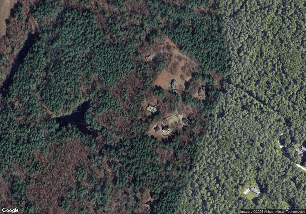
Map
Nearby Homes
- 24 Algonquin Rd
- 82 Chestnut Ln
- 1090 North Rd
- 9 Kay's Walk
- 15 Roberts St
- 14 Kay's Walk
- 216 Rangeway Rd Unit 133
- 216 Rangeway Rd Unit 164
- 216 Rangeway Rd Unit 192
- Map29-14-1 Rangeway Rd
- 12 Martin St
- 1 Rosemary Ln
- 80 Daniels Ln
- 373 E Riding Dr
- 15 Blades Cir
- 55 Parker Rd
- 21 Woodside Rd
- 46 Rosewood Ave
- 31 Aaron Way
- 5 Lowell St Unit 5
- 75 Patch Meadow Ln
- 116 Patch Meadow Ln
- 110 Patch Meadow Ln
- 95 Patch Meadow Ln
- 17 Green Way
- 585 Rutland St
- 26 Mount Auburn St
- 15 Green Way
- 84 Patch Meadow Ln
- 13 Green Way
- 13 Green Way Unit 13
- 13 Green Way Unit 1
- 601 Rutland St
- 801 North Rd
- 24 Mount Auburn St
- 283 Rangeway Rd
- 11 Green Way
- 12 Green Way
- 58 Patch Meadow Ln
- 22 Mount Auburn St
Your Personal Tour Guide
Ask me questions while you tour the home.