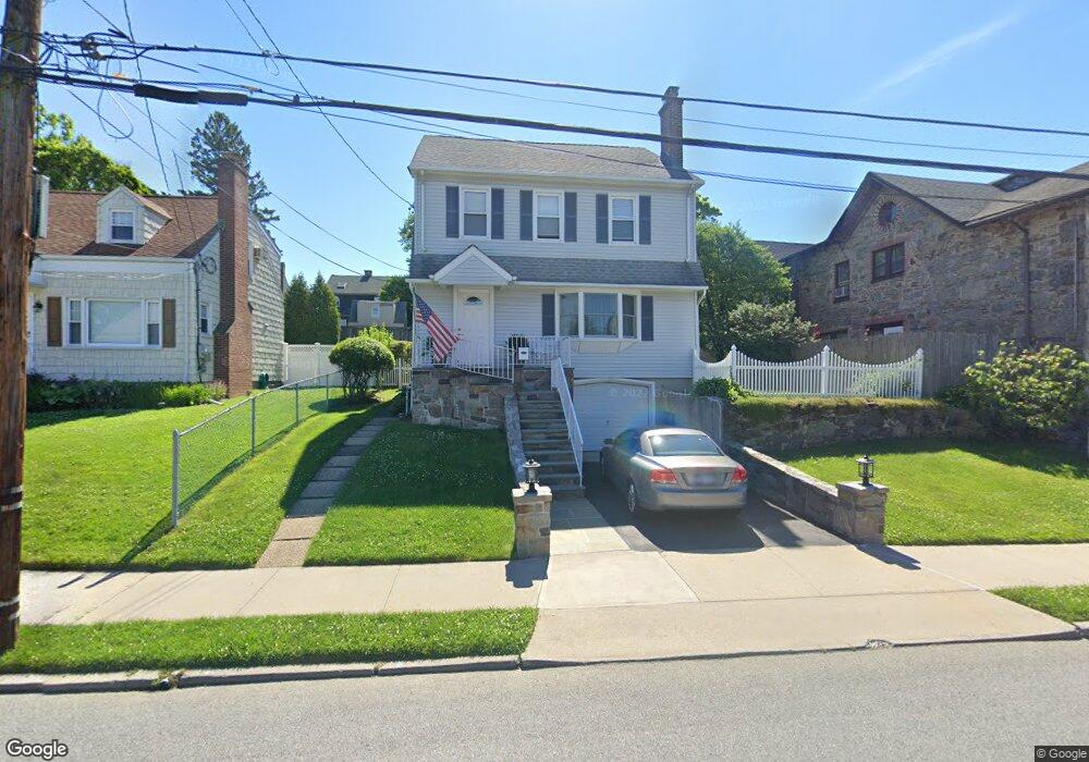
85 Perry Ave Port Chester, NY 10573
Estimated Value: $817,000 - $867,000
4
Beds
3
Baths
2,666
Sq Ft
$320/Sq Ft
Est. Value
About This Home
This home is located at 85 Perry Ave, Port Chester, NY 10573 and is currently estimated at $854,055, approximately $320 per square foot. 85 Perry Ave is a home located in Westchester County with nearby schools including Port Chester Middle School, Port Chester Senior High School, and Corpus Christi Holy Rosary School.
Ownership History
Date
Name
Owned For
Owner Type
Purchase Details
Closed on
May 16, 2013
Sold by
Graceland Terrace Housing Development Fu
Bought by
Munnelly Kevin
Current Estimated Value
Home Financials for this Owner
Home Financials are based on the most recent Mortgage that was taken out on this home.
Original Mortgage
$40,000
Outstanding Balance
$28,459
Interest Rate
3.57%
Mortgage Type
Unknown
Estimated Equity
$825,596
Create a Home Valuation Report for This Property
The Home Valuation Report is an in-depth analysis detailing your home's value as well as a comparison with similar homes in the area
Home Values in the Area
Average Home Value in this Area
Purchase History
| Date | Buyer | Sale Price | Title Company |
|---|---|---|---|
| Munnelly Kevin | $197,788 | The Judicial Title Ins Age |
Source: Public Records
Mortgage History
| Date | Status | Borrower | Loan Amount |
|---|---|---|---|
| Open | Munnelly Kevin | $40,000 |
Source: Public Records
Tax History Compared to Growth
Tax History
| Year | Tax Paid | Tax Assessment Tax Assessment Total Assessment is a certain percentage of the fair market value that is determined by local assessors to be the total taxable value of land and additions on the property. | Land | Improvement |
|---|---|---|---|---|
| 2024 | $14,554 | $742,400 | $188,100 | $554,300 |
| 2023 | $13,852 | $700,400 | $179,200 | $521,200 |
| 2022 | $12,641 | $673,500 | $179,200 | $494,300 |
| 2021 | $13,562 | $606,800 | $179,200 | $427,600 |
| 2020 | $13,041 | $606,800 | $179,200 | $427,600 |
| 2019 | $16,335 | $539,500 | $147,000 | $392,500 |
| 2018 | $9,032 | $524,500 | $141,200 | $383,300 |
| 2017 | $2,023 | $528,900 | $136,800 | $392,100 |
| 2016 | $12,734 | $527,200 | $150,900 | $376,300 |
| 2015 | -- | $498,100 | $136,600 | $361,500 |
| 2014 | -- | $492,900 | $132,500 | $360,400 |
| 2013 | -- | $490,000 | $129,600 | $360,400 |
Source: Public Records
Map
Nearby Homes
- 431 Irving Ave
- 180 Fairview Ave
- 11 Whittemore Place
- 485 Westchester Ave
- 395 Westchester Ave Unit 3A
- 395 Westchester Ave Unit LC
- 410 Westchester Ave Unit 202
- 15 Maywood Ave
- 377 Westchester Ave Unit 6C
- 377 Westchester Ave Unit 5N
- 24 Park Place
- 283 Neuton Ave
- 413 Franklin St
- 370 Westchester Ave Unit 7P
- 370 Westchester Ave Unit 3N
- 72 Glendale Place
- 360 Westchester Ave Unit 302
- 360 Westchester Ave Unit 223
- 64 1/2 Exchange Place
- 35 Summit Ave Unit 3H