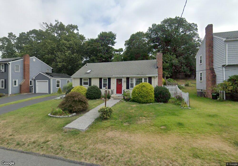
85 Pierce Rd Weymouth, MA 02188
Weymouth Landing NeighborhoodEstimated Value: $527,000 - $547,008
3
Beds
1
Bath
864
Sq Ft
$626/Sq Ft
Est. Value
About This Home
This home is located at 85 Pierce Rd, Weymouth, MA 02188 and is currently estimated at $540,752, approximately $625 per square foot. 85 Pierce Rd is a home located in Norfolk County with nearby schools including Abigail Adams Middle School, Frederick C Murphy, and Weymouth Middle School Chapman.
Ownership History
Date
Name
Owned For
Owner Type
Purchase Details
Closed on
Oct 7, 2009
Sold by
Loxley Robert R
Bought by
Lee Karen E
Current Estimated Value
Home Financials for this Owner
Home Financials are based on the most recent Mortgage that was taken out on this home.
Original Mortgage
$210,000
Interest Rate
5.14%
Mortgage Type
Purchase Money Mortgage
Purchase Details
Closed on
Jan 14, 1998
Sold by
Cassidy Maureen J
Bought by
Loxley Robert R
Home Financials for this Owner
Home Financials are based on the most recent Mortgage that was taken out on this home.
Original Mortgage
$65,000
Interest Rate
7.08%
Mortgage Type
Purchase Money Mortgage
Create a Home Valuation Report for This Property
The Home Valuation Report is an in-depth analysis detailing your home's value as well as a comparison with similar homes in the area
Home Values in the Area
Average Home Value in this Area
Purchase History
| Date | Buyer | Sale Price | Title Company |
|---|---|---|---|
| Lee Karen E | $241,700 | -- | |
| Loxley Robert R | $133,000 | -- |
Source: Public Records
Mortgage History
| Date | Status | Borrower | Loan Amount |
|---|---|---|---|
| Open | Loxley Robert R | $209,600 | |
| Closed | Lee Karen E | $210,000 | |
| Previous Owner | Loxley Robert R | $65,000 |
Source: Public Records
Tax History Compared to Growth
Tax History
| Year | Tax Paid | Tax Assessment Tax Assessment Total Assessment is a certain percentage of the fair market value that is determined by local assessors to be the total taxable value of land and additions on the property. | Land | Improvement |
|---|---|---|---|---|
| 2025 | $4,818 | $477,000 | $218,100 | $258,900 |
| 2024 | $4,714 | $459,000 | $207,700 | $251,300 |
| 2023 | $4,490 | $429,700 | $192,400 | $237,300 |
| 2022 | $4,436 | $387,100 | $178,100 | $209,000 |
| 2021 | $4,071 | $346,800 | $178,100 | $168,700 |
| 2020 | $3,819 | $320,400 | $178,100 | $142,300 |
| 2019 | $3,670 | $302,800 | $171,300 | $131,500 |
| 2018 | $3,591 | $287,300 | $163,100 | $124,200 |
| 2017 | $3,475 | $271,300 | $155,400 | $115,900 |
| 2016 | $3,340 | $260,900 | $149,400 | $111,500 |
| 2015 | $3,158 | $244,800 | $142,600 | $102,200 |
| 2014 | $3,099 | $233,000 | $132,700 | $100,300 |
Source: Public Records
Map
Nearby Homes
- 28 Webb St
- 9 Vine St Unit 1
- 114 Broad St Unit D
- 114 Broad St Unit C
- 19 Vine St Unit 4
- 25 Richmond St
- 17 Worster Terrace
- 11 Richmond St
- 294 Commercial St
- 93 Wilson Ave
- 122 Washington St Unit 22
- 23-25 Lindbergh Ave
- 286 Broad St
- 18 Taft Rd
- 16 Lindbergh Ave
- 19 Common St
- 271 Roosevelt Rd
- 36 Brookside Rd
- 33 Argyle Rd
- 60 Edgehill Rd