85 Pilot Ln Staten Island, NY 10309
Charleston NeighborhoodEstimated Value: $801,954 - $922,000
Studio
4
Baths
2,365
Sq Ft
$371/Sq Ft
Est. Value
About This Home
This home is located at 85 Pilot Ln, Staten Island, NY 10309 and is currently estimated at $876,489, approximately $370 per square foot. 85 Pilot Ln is a home located in Richmond County with nearby schools including P.S. 6 Cpl Allan F Kivlehan School, Is 34 Tottenville, and Tottenville High School.
Ownership History
Date
Name
Owned For
Owner Type
Purchase Details
Closed on
Apr 19, 2018
Sold by
Ferrara Vincent and Ferrara Pattiann
Bought by
Ferrara Vincent and Ferrara Pattiann
Current Estimated Value
Purchase Details
Closed on
Dec 30, 2010
Sold by
Pc Group Llc
Bought by
Ferrara Vincent and Ferrara Pattiann
Home Financials for this Owner
Home Financials are based on the most recent Mortgage that was taken out on this home.
Original Mortgage
$120,000
Outstanding Balance
$80,550
Interest Rate
4.46%
Mortgage Type
New Conventional
Estimated Equity
$795,939
Create a Home Valuation Report for This Property
The Home Valuation Report is an in-depth analysis detailing your home's value as well as a comparison with similar homes in the area
Home Values in the Area
Average Home Value in this Area
Purchase History
| Date | Buyer | Sale Price | Title Company |
|---|---|---|---|
| Ferrara Vincent | -- | None Available | |
| Ferrara Vincent | $485,706 | Washington Title Ins Company |
Source: Public Records
Mortgage History
| Date | Status | Borrower | Loan Amount |
|---|---|---|---|
| Open | Ferrara Vincent | $120,000 |
Source: Public Records
Tax History
| Year | Tax Paid | Tax Assessment Tax Assessment Total Assessment is a certain percentage of the fair market value that is determined by local assessors to be the total taxable value of land and additions on the property. | Land | Improvement |
|---|---|---|---|---|
| 2025 | $8,010 | $43,200 | $6,138 | $37,062 |
| 2024 | $8,022 | $41,280 | $6,305 | $34,975 |
| 2023 | $7,945 | $40,522 | $5,187 | $35,335 |
| 2022 | $7,726 | $40,140 | $6,060 | $34,080 |
| 2021 | $7,993 | $39,420 | $6,060 | $33,360 |
| 2020 | $7,735 | $39,840 | $6,060 | $33,780 |
| 2019 | $7,195 | $39,960 | $6,060 | $33,900 |
| 2018 | $6,586 | $33,768 | $5,431 | $28,337 |
| 2017 | $6,584 | $33,768 | $5,820 | $27,948 |
| 2016 | $6,390 | $33,514 | $6,002 | $27,512 |
| 2015 | $5,419 | $31,617 | $4,936 | $26,681 |
| 2014 | $5,419 | $29,828 | $4,961 | $24,867 |
Source: Public Records
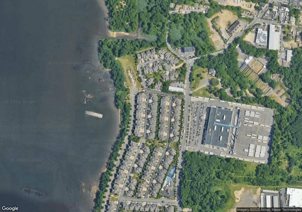
Map
Nearby Homes
- 45 Tiller Ct
- 66 Pilot Ln
- 15 Topside Ln
- 71 Kreischer St
- 75 Kreischer St
- 20 Tides Ln
- 81 Kreischer St
- 83 Kreischer St
- 85 Kreischer St
- 54 Kreischer St
- 0 Winant Place
- 97-99 Englewood Ave
- 4795 Arthur Kill Rd
- 282 Boscombe Ave
- 150 Weiner St
- 24 Darnell Ln
- 155 Darnell Ln
- 55 Quail Ln
- 23 Peacock Loop
- 99 Pitney Ave
Your Personal Tour Guide
Ask me questions while you tour the home.