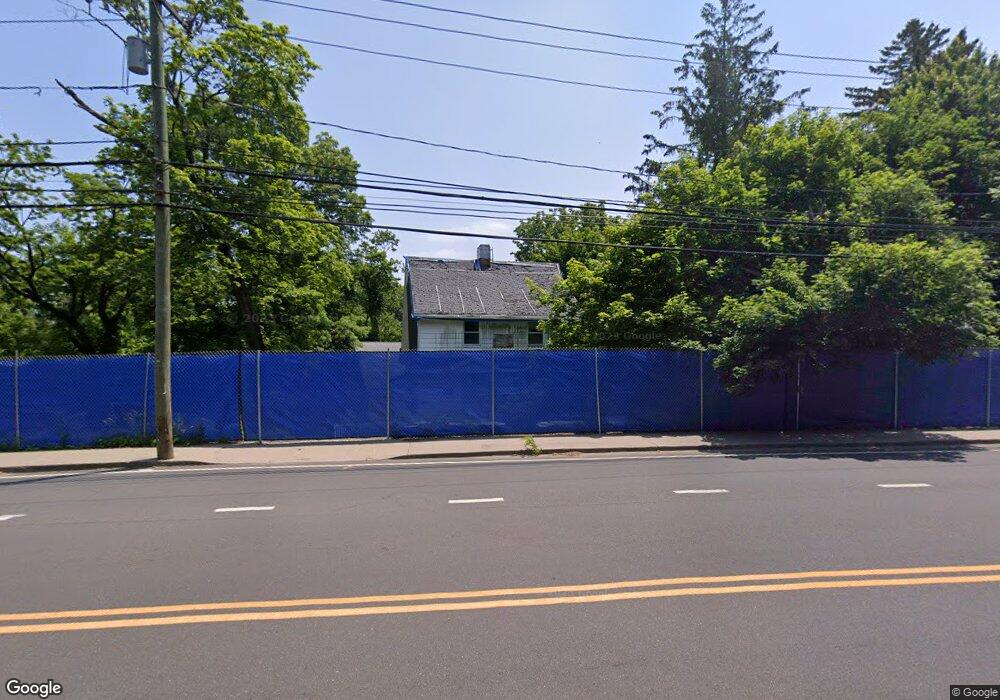
85 Post Rd W Westport, CT 06880
Saugatuck NeighborhoodEstimated Value: $648,339
--
Bed
--
Bath
--
Sq Ft
0.37
Acres
About This Home
This home is located at 85 Post Rd W, Westport, CT 06880 and is currently estimated at $648,339. 85 Post Rd W is a home located in Fairfield County with nearby schools including King's Highway Elementary School, Coleytown Middle School, and Staples High School.
Ownership History
Date
Name
Owned For
Owner Type
Purchase Details
Closed on
Dec 15, 2022
Sold by
Cross Street Llc
Bought by
Lighthouse Westport Llc
Current Estimated Value
Purchase Details
Closed on
Jun 5, 1996
Sold by
Lindsay John
Bought by
Palmer Thomas and Palmer Joe
Home Financials for this Owner
Home Financials are based on the most recent Mortgage that was taken out on this home.
Original Mortgage
$120,000
Interest Rate
7.89%
Mortgage Type
Commercial
Create a Home Valuation Report for This Property
The Home Valuation Report is an in-depth analysis detailing your home's value as well as a comparison with similar homes in the area
Home Values in the Area
Average Home Value in this Area
Purchase History
Date | Buyer | Sale Price | Title Company |
---|---|---|---|
Lighthouse Westport Llc | -- | None Available | |
Palmer Thomas | $170,000 | -- | |
Palmer Thomas | $170,000 | -- |
Source: Public Records
Mortgage History
Date | Status | Borrower | Loan Amount |
---|---|---|---|
Open | Lighthouse Westport Llc | $32,000,000 | |
Previous Owner | Palmer Thomas | $120,000 |
Source: Public Records
Tax History Compared to Growth
Tax History
Year | Tax Paid | Tax Assessment Tax Assessment Total Assessment is a certain percentage of the fair market value that is determined by local assessors to be the total taxable value of land and additions on the property. | Land | Improvement |
---|---|---|---|---|
2024 | $14,140 | $759,400 | $399,500 | $359,900 |
2023 | $13,935 | $759,400 | $399,500 | $359,900 |
2022 | $13,722 | $759,400 | $399,500 | $359,900 |
2021 | $13,722 | $759,400 | $399,500 | $359,900 |
2020 | $13,550 | $810,900 | $443,900 | $367,000 |
2019 | $13,672 | $810,900 | $443,900 | $367,000 |
2018 | $13,672 | $810,900 | $443,900 | $367,000 |
2017 | $13,672 | $810,900 | $443,900 | $367,000 |
2016 | $13,672 | $810,900 | $443,900 | $367,000 |
2015 | $14,763 | $816,100 | $517,100 | $299,000 |
2014 | $14,641 | $816,100 | $517,100 | $299,000 |
Source: Public Records
Map
Nearby Homes
- 31 Lincoln St
- 60 Wilton Rd Unit 2C
- 220 Riverside Ave Unit 1
- 9 Harborview Rd
- 19 Old Hill Farms Rd
- 4 Pequot Trail
- 102 Compo Rd S
- 104 Compo Rd S
- 11 Thomas Rd
- 27 Old Hill Farms Rd
- 29 Otter Trail
- 3 Laurel Ln
- 127 Compo Rd S
- 22 Oak Ridge Park
- 33 Pequot Trail
- 53 Sylvan Rd N
- 21 Oak Ridge Park
- 378 Riverside Ave
- 7 Mansfield Place
- 11 Dogwood Ln
- 85 Post Rd W
- 79 Post Rd W
- 87 Post Rd W
- 1 Lincoln St
- 15 Lincoln St
- 15 Lincoln St Unit 2
- 62 Post Rd W Unit 62
- 7 Lincoln St
- 19 Lincoln St
- 19 Lincoln St Unit 2ND
- 19 Lincoln St Unit 21
- 19 Lincoln St Unit 19
- 25 Lincoln St
- 37 Lincoln St
- 21 Lincoln St Unit 21
- 14 Lincoln St
- 14 Lincoln St Unit A
- 14 Lincoln St Unit B
- 1 Ludlow Rd Unit A