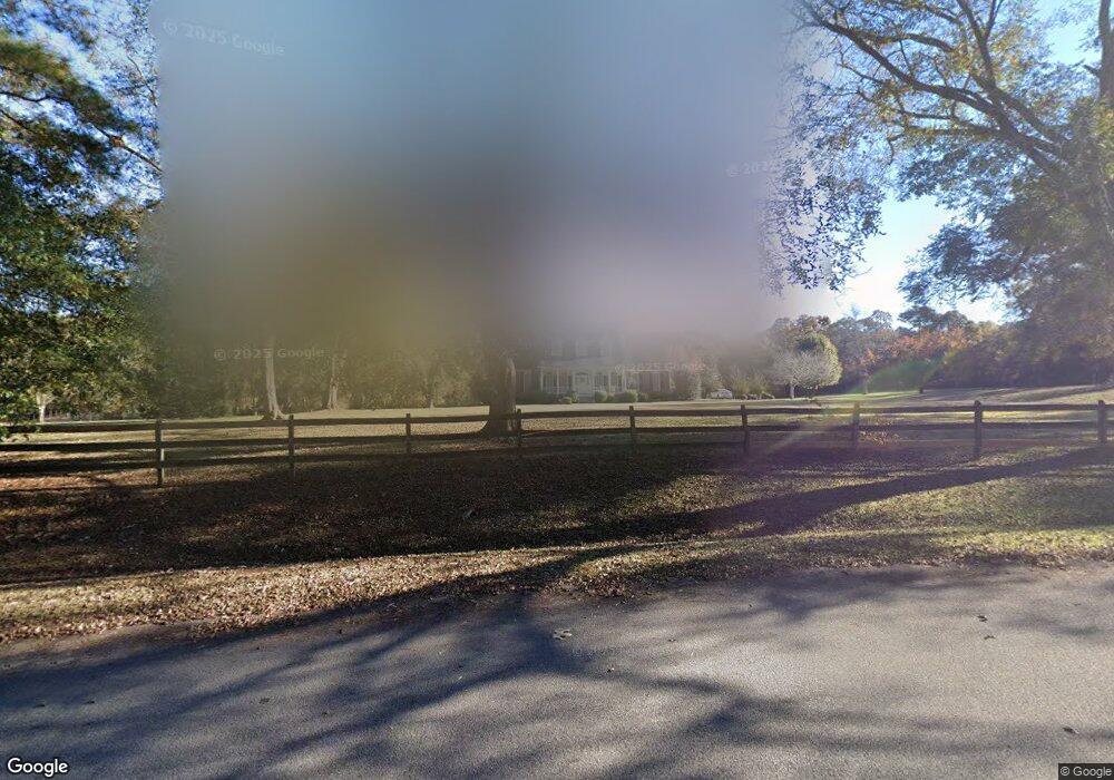
85 Price Dr W Locust Grove, GA 30248
Estimated Value: $536,000 - $715,000
4
Beds
4
Baths
3,439
Sq Ft
$177/Sq Ft
Est. Value
About This Home
This home is located at 85 Price Dr W, Locust Grove, GA 30248 and is currently estimated at $608,706, approximately $177 per square foot. 85 Price Dr W is a home located in Henry County with nearby schools including Unity Grove Elementary School, Locust Grove Middle School, and Locust Grove High School.
Ownership History
Date
Name
Owned For
Owner Type
Purchase Details
Closed on
Sep 26, 2022
Sold by
Carter Janet Bailey
Bought by
Carter Michael Brian and Carter Janet
Current Estimated Value
Home Financials for this Owner
Home Financials are based on the most recent Mortgage that was taken out on this home.
Original Mortgage
$350,000
Outstanding Balance
$335,172
Interest Rate
5.55%
Mortgage Type
New Conventional
Estimated Equity
$273,534
Purchase Details
Closed on
Oct 9, 2008
Sold by
Bailey Living Trust
Bought by
Carter Janet B
Create a Home Valuation Report for This Property
The Home Valuation Report is an in-depth analysis detailing your home's value as well as a comparison with similar homes in the area
Home Values in the Area
Average Home Value in this Area
Purchase History
| Date | Buyer | Sale Price | Title Company |
|---|---|---|---|
| Carter Michael Brian | -- | -- | |
| Carter Janet B | -- | -- | |
| Sullivan Laura A B | -- | -- |
Source: Public Records
Mortgage History
| Date | Status | Borrower | Loan Amount |
|---|---|---|---|
| Open | Carter Michael Brian | $350,000 |
Source: Public Records
Tax History Compared to Growth
Tax History
| Year | Tax Paid | Tax Assessment Tax Assessment Total Assessment is a certain percentage of the fair market value that is determined by local assessors to be the total taxable value of land and additions on the property. | Land | Improvement |
|---|---|---|---|---|
| 2025 | $7,530 | $261,640 | $54,480 | $207,160 |
| 2024 | $7,530 | $230,760 | $49,120 | $181,640 |
| 2023 | $6,054 | $215,720 | $47,320 | $168,400 |
| 2022 | $6,062 | $195,800 | $43,720 | $152,080 |
| 2021 | $5,224 | $162,240 | $37,600 | $124,640 |
| 2020 | $4,782 | $144,200 | $35,440 | $108,760 |
| 2019 | $4,605 | $137,280 | $33,640 | $103,640 |
| 2018 | $4,439 | $131,040 | $31,160 | $99,880 |
| 2016 | $4,407 | $130,800 | $27,560 | $103,240 |
| 2015 | $4,386 | $124,360 | $30,440 | $93,920 |
| 2014 | $4,338 | $120,440 | $30,440 | $90,000 |
Source: Public Records
Map
Nearby Homes
- 75 Price Dr W
- 104 Waratah Dr
- 825 S Bethany Rd
- 340 Colvin Dr
- 390 Coan Dr
- 943 Colvin Dr
- 1579 S Bethany Rd
- 3305 Hancock Point
- 560 Coan Dr
- 5009 Yankee Doodle Dr
- 3227 Puritan Way
- 435 Rabbit Run
- 678 Seabolt Rd
- 167 Classica Dr
- 5120 Redcoat Ln
- 8008 Revere Dr Unit 1
- 1141 Abundance Dr
- 551 Rosalind Terrace
- 705 Seabolt Rd
- 201 Nina Cir
- 105 Price Dr W
- 115 Price Dr W
- 120 Price Dr W
- 125 Price Dr W
- 55 Price Dr W
- 0 Price Dr W Unit 7202144
- 72 Price Dr W
- 135 Price Dr W
- 140 Price Dr W
- 70 Price Dr W
- 45 Price Dr W
- 457 Colvin Dr
- 145 Price Dr W
- 160 Price Dr W
- 1338 Davis Lake Rd
- 945 S Bethany Rd
- 50 Price Dr W
- 955 S Bethany Rd
- 955 Bethany Ln
- 162 Price Dr W
