85 Rabbit Hare Dr New Hill, NC 27562
Estimated Value: $576,682 - $765,000
3
Beds
3
Baths
2,671
Sq Ft
$249/Sq Ft
Est. Value
About This Home
This home is located at 85 Rabbit Hare Dr, New Hill, NC 27562 and is currently estimated at $664,921, approximately $248 per square foot. 85 Rabbit Hare Dr is a home located in Chatham County with nearby schools including Moncure School.
Ownership History
Date
Name
Owned For
Owner Type
Purchase Details
Closed on
Jul 9, 2019
Sold by
Miller Randy D and Miller Sheila
Bought by
Edwards Joshua Adam and Edwards Sherry
Current Estimated Value
Home Financials for this Owner
Home Financials are based on the most recent Mortgage that was taken out on this home.
Original Mortgage
$356,000
Interest Rate
4%
Mortgage Type
New Conventional
Purchase Details
Closed on
Mar 3, 2010
Sold by
Manning Melvin J and Manning Deborah A
Bought by
Miller Randy D
Home Financials for this Owner
Home Financials are based on the most recent Mortgage that was taken out on this home.
Original Mortgage
$262,800
Interest Rate
3.75%
Mortgage Type
New Conventional
Create a Home Valuation Report for This Property
The Home Valuation Report is an in-depth analysis detailing your home's value as well as a comparison with similar homes in the area
Home Values in the Area
Average Home Value in this Area
Purchase History
| Date | Buyer | Sale Price | Title Company |
|---|---|---|---|
| Edwards Joshua Adam | $445,000 | None Available | |
| Miller Randy D | $292,000 | Chicago Title Insurance Co |
Source: Public Records
Mortgage History
| Date | Status | Borrower | Loan Amount |
|---|---|---|---|
| Previous Owner | Edwards Joshua Adam | $356,000 | |
| Previous Owner | Miller Randy D | $262,800 |
Source: Public Records
Tax History
| Year | Tax Paid | Tax Assessment Tax Assessment Total Assessment is a certain percentage of the fair market value that is determined by local assessors to be the total taxable value of land and additions on the property. | Land | Improvement |
|---|---|---|---|---|
| 2025 | $3,374 | $436,218 | $89,624 | $346,594 |
| 2024 | $3,374 | $302,330 | $77,343 | $224,987 |
| 2023 | $2,745 | $302,330 | $77,343 | $224,987 |
| 2022 | $2,551 | $302,330 | $77,343 | $224,987 |
| 2021 | $2,551 | $302,330 | $77,343 | $224,987 |
| 2020 | $2,972 | $352,557 | $67,702 | $284,855 |
| 2019 | $2,928 | $352,557 | $67,702 | $284,855 |
| 2018 | $2,780 | $352,557 | $67,702 | $284,855 |
| 2017 | $2,780 | $352,557 | $67,702 | $284,855 |
| 2016 | $2,401 | $299,919 | $57,000 | $242,919 |
| 2015 | $2,365 | $299,919 | $57,000 | $242,919 |
| 2014 | $2,321 | $299,919 | $57,000 | $242,919 |
| 2013 | -- | $299,919 | $57,000 | $242,919 |
Source: Public Records
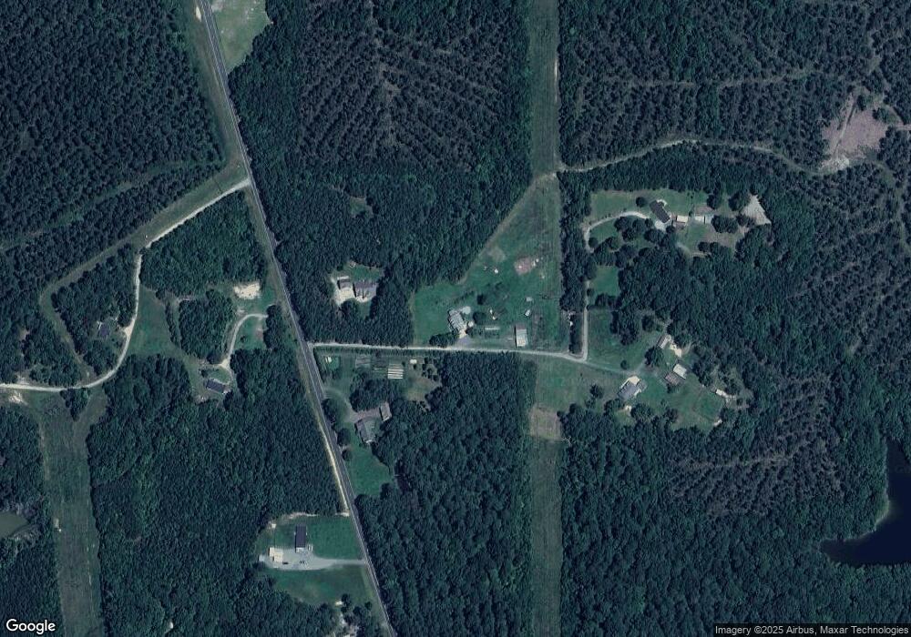
Map
Nearby Homes
- 157 Smith Overlook Way
- 260 Ellis Rd
- 262 Ellis Rd
- 4464-5304 N Carolina 42
- 1656 N Carolina 42
- 0 Christian Chapel Church Rd
- 5090 Nc Highway 42
- 6729 Bartley Point Dr
- 6725 Bartley Point Dr
- 9113 Moon Lake Ln
- 9109 Moon Lake Ln
- 6713 Bartley Point Dr
- 6712 Bartley Point Dr
- 6728 Bartley Point Dr
- 6716 Bartley Point Dr
- 8917 Morning Song Rd
- 6608 Bartley Point Dr
- 8916 Morning Song Ct
- 590 Truth Rd
- 0 Doyle Cox Lot 1 Rd Unit 10144494
- 4743 Christian Chapel Church Rd
- 4743 Christian Chap Ch Rd
- 4805 Christian Chapel Church Rd
- 4740 Christian Chap Ch Rd
- 200 Rabbit Hare Dr
- 153 Rabbit Hare Dr
- 4872 Christian Chap Ch Rd
- 4950 Christian Chapel Church Rd
- 110 Morgan Pond Rd
- 4970 Christian Chap Ch Rd
- 249 W Smith Rd
- 122 Smith Rd
- 5050 Christian Chapel Church Rd
- 240 Smith Overlook Way
- 240 Smith Overlook Way Unit 11
- 2925 Nc Highway 42
- 401 Cross Point Rd
- 388 Cross Point Rd
- 2919 Nc Highway 42
- 2861 Nc Highway 42
Your Personal Tour Guide
Ask me questions while you tour the home.