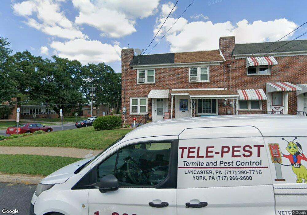
85 Ranck Ave Lancaster, PA 17602
Conestoga Woods NeighborhoodEstimated Value: $154,000 - $207,000
2
Beds
1
Bath
900
Sq Ft
$213/Sq Ft
Est. Value
About This Home
This home is located at 85 Ranck Ave, Lancaster, PA 17602 and is currently estimated at $191,819, approximately $213 per square foot. 85 Ranck Ave is a home located in Lancaster County with nearby schools including Burrowes Elementary School, Wickersham Elementary School, and Lincoln Middle School.
Ownership History
Date
Name
Owned For
Owner Type
Purchase Details
Closed on
Nov 28, 2008
Sold by
Hartley Ruth M
Bought by
Brown Dolores J
Current Estimated Value
Home Financials for this Owner
Home Financials are based on the most recent Mortgage that was taken out on this home.
Original Mortgage
$73,209
Outstanding Balance
$48,325
Interest Rate
6.11%
Mortgage Type
FHA
Estimated Equity
$143,494
Create a Home Valuation Report for This Property
The Home Valuation Report is an in-depth analysis detailing your home's value as well as a comparison with similar homes in the area
Home Values in the Area
Average Home Value in this Area
Purchase History
| Date | Buyer | Sale Price | Title Company |
|---|---|---|---|
| Brown Dolores J | $73,700 | None Available |
Source: Public Records
Mortgage History
| Date | Status | Borrower | Loan Amount |
|---|---|---|---|
| Open | Brown Dolores J | $73,209 |
Source: Public Records
Tax History Compared to Growth
Tax History
| Year | Tax Paid | Tax Assessment Tax Assessment Total Assessment is a certain percentage of the fair market value that is determined by local assessors to be the total taxable value of land and additions on the property. | Land | Improvement |
|---|---|---|---|---|
| 2025 | $2,454 | $85,100 | $28,500 | $56,600 |
| 2024 | $2,454 | $85,100 | $28,500 | $56,600 |
| 2023 | $2,398 | $85,100 | $28,500 | $56,600 |
| 2022 | $2,255 | $85,100 | $28,500 | $56,600 |
| 2021 | $2,187 | $85,100 | $28,500 | $56,600 |
| 2020 | $2,187 | $85,100 | $28,500 | $56,600 |
| 2019 | $2,140 | $85,100 | $28,500 | $56,600 |
| 2018 | $1,378 | $85,100 | $28,500 | $56,600 |
| 2017 | $2,102 | $64,300 | $21,500 | $42,800 |
| 2016 | $2,064 | $64,300 | $21,500 | $42,800 |
| 2015 | $279 | $64,300 | $21,500 | $42,800 |
| 2014 | $1,288 | $64,300 | $21,500 | $42,800 |
Source: Public Records
Map
Nearby Homes
- 980 E Orange St
- 1036 E King St
- 911 E King St
- 1015 E Walnut St
- 817 E Orange St
- 728 E End Ave
- 620 E King St
- 623 E Chestnut St
- 608 E Marion St
- 609 E Chestnut St
- 53 S Marshall St
- 604 E End Ave
- 121 S Marshall St
- 6 Woodlyn Ct
- 661 Lehigh Ave
- 249 N Marshall St
- 528 E Orange St
- 610 E Madison St
- 522 E Orange St
- 529 E End Ave