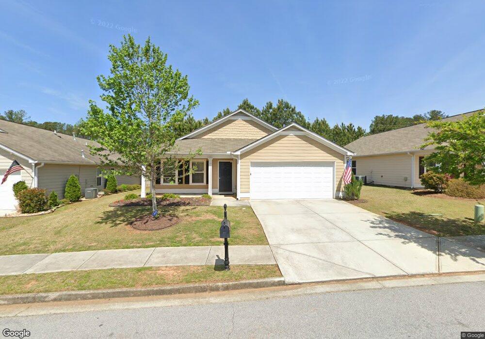
85 Riviera Dr Unit 35 Covington, GA 30014
Estimated Value: $275,832 - $312,000
3
Beds
2
Baths
1,642
Sq Ft
$178/Sq Ft
Est. Value
About This Home
This home is located at 85 Riviera Dr Unit 35, Covington, GA 30014 and is currently estimated at $292,458, approximately $178 per square foot. 85 Riviera Dr Unit 35 is a home located in Newton County with nearby schools including East Newton Elementary School, Cousins Middle School, and Eastside High School.
Ownership History
Date
Name
Owned For
Owner Type
Purchase Details
Closed on
Apr 29, 2021
Sold by
Bryant Destiny
Bought by
Hudson Sfr Property Holdings Ii Llc
Current Estimated Value
Purchase Details
Closed on
Dec 31, 2014
Sold by
Nenaprises Llc
Bought by
Harris Destiny
Home Financials for this Owner
Home Financials are based on the most recent Mortgage that was taken out on this home.
Original Mortgage
$132,456
Interest Rate
4.4%
Mortgage Type
FHA
Purchase Details
Closed on
Sep 17, 2014
Sold by
Paulee Partners Lllp
Bought by
Nenaprises Llc
Create a Home Valuation Report for This Property
The Home Valuation Report is an in-depth analysis detailing your home's value as well as a comparison with similar homes in the area
Home Values in the Area
Average Home Value in this Area
Purchase History
| Date | Buyer | Sale Price | Title Company |
|---|---|---|---|
| Hudson Sfr Property Holdings Ii Llc | $230,000 | -- | |
| Harris Destiny | $134,900 | -- | |
| Nenaprises Llc | $112,000 | -- |
Source: Public Records
Mortgage History
| Date | Status | Borrower | Loan Amount |
|---|---|---|---|
| Previous Owner | Harris Destiny | $132,456 |
Source: Public Records
Tax History Compared to Growth
Tax History
| Year | Tax Paid | Tax Assessment Tax Assessment Total Assessment is a certain percentage of the fair market value that is determined by local assessors to be the total taxable value of land and additions on the property. | Land | Improvement |
|---|---|---|---|---|
| 2024 | $3,588 | $118,440 | $18,000 | $100,440 |
| 2023 | $3,684 | $113,000 | $11,200 | $101,800 |
| 2022 | $2,767 | $84,760 | $11,200 | $73,560 |
| 2021 | $2,488 | $71,400 | $11,200 | $60,200 |
| 2020 | $2,474 | $65,000 | $11,200 | $53,800 |
| 2019 | $2,485 | $64,160 | $11,200 | $52,960 |
| 2018 | $2,294 | $58,800 | $8,000 | $50,800 |
| 2017 | $2,113 | $54,400 | $8,000 | $46,400 |
| 2016 | $2,215 | $56,880 | $9,600 | $47,280 |
| 2015 | $2,000 | $51,600 | $9,600 | $42,000 |
| 2014 | $208 | $4,800 | $0 | $0 |
Source: Public Records
Map
Nearby Homes
- 7703 Fawn Cir
- 130 S Links Dr
- 7762 Fawn Cir
- 10110 Malcolm Ct
- 10155 Malcolm Dr
- 10184 Malcolm Dr
- 8193 Monticello St
- 8 Jackson Rd
- 10216 Azalea Dr
- 75 Woodfield Rd
- 8239 High Lake Terrace SE
- 345 River Walk Farm Unit LOT 5
- 323 River Walk Farm
- 330 River Walk Farm
- 338 River Walk Farm
- 344 River Walk Farm
- 13262 Tolstoy Dr
- 10119 Azalea Dr
- 210 Kestrel Cir
- 72 Woodfield Rd
- 85 Riviera Dr
- 75 Riviera Dr Unit 36
- 75 Riviera Dr
- 95 Riviera Dr Unit 34
- 95 Riviera Dr
- 65 Riviera Dr Unit 37
- 65 Riviera Dr
- 95 Baltusrol Way
- 35 Brookline Pkwy
- 85 Baltusrol Way
- 0 Brookline Pkwy SE Unit 7069284
- 0 Brookline Pkwy SE Unit 7046636
- 0 Brookline Pkwy SE Unit 8006703
- 0 Brookline Pkwy SE Unit 8638633
- 0 Brookline Pkwy SE Unit 7488862
- 0 Brookline Pkwy SE Unit 8840943
- 120 Baltusrol Way Unit 32
- 120 Baltusrol Way
- 110 Baltusrol Way Unit 31
- 130 Baltusrol Way