Estimated Value: $85,349 - $257,000
--
Bed
--
Bath
768
Sq Ft
$178/Sq Ft
Est. Value
About This Home
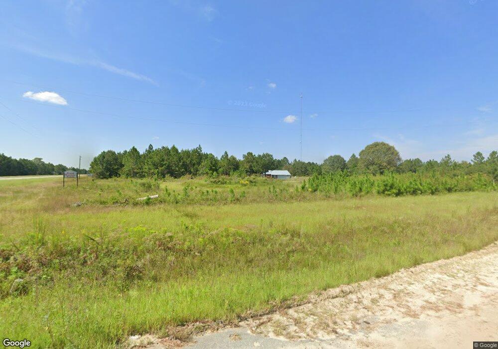
This home is located at 85 Ross Siding Rd, Odum, GA 31555 and is currently estimated at $136,837, approximately $178 per square foot. 85 Ross Siding Rd is a home with nearby schools including Odum Elementary School, Martha Puckett Middle School, and Wayne County High School.
Ownership History
Date
Name
Owned For
Owner Type
Purchase Details
Closed on
Nov 18, 2024
Sold by
Youmans James Randall
Bought by
Anthony James David and Youmans James Randall
Current Estimated Value
Purchase Details
Closed on
Jul 1, 2013
Sold by
James Randall
Bought by
James David
Purchase Details
Closed on
Feb 12, 2013
Sold by
James Randy
Bought by
Lightsey Johnny
Purchase Details
Closed on
Jan 1, 2003
Bought by
James Randy
Purchase Details
Closed on
Oct 1, 2002
Purchase Details
Closed on
Sep 1, 1991
Purchase Details
Closed on
Sep 1, 1990
Create a Home Valuation Report for This Property
The Home Valuation Report is an in-depth analysis detailing your home's value as well as a comparison with similar homes in the area
Home Values in the Area
Average Home Value in this Area
Purchase History
| Date | Buyer | Sale Price | Title Company |
|---|---|---|---|
| Anthony James David | -- | -- | |
| James David | -- | -- | |
| Lightsey Johnny | $5,000 | -- | |
| James Randy | $36,000 | -- | |
| -- | -- | -- | |
| -- | $1,000 | -- | |
| -- | -- | -- |
Source: Public Records
Tax History Compared to Growth
Tax History
| Year | Tax Paid | Tax Assessment Tax Assessment Total Assessment is a certain percentage of the fair market value that is determined by local assessors to be the total taxable value of land and additions on the property. | Land | Improvement |
|---|---|---|---|---|
| 2024 | $662 | $24,972 | $5,170 | $19,802 |
| 2023 | $675 | $22,497 | $5,170 | $17,327 |
| 2022 | $599 | $19,032 | $5,170 | $13,862 |
| 2021 | $566 | $16,785 | $5,170 | $11,615 |
| 2020 | $722 | $20,709 | $9,094 | $11,615 |
| 2019 | $744 | $20,709 | $9,094 | $11,615 |
| 2018 | $744 | $20,709 | $9,094 | $11,615 |
| 2017 | $640 | $20,709 | $9,094 | $11,615 |
| 2016 | $620 | $20,708 | $9,094 | $11,615 |
| 2014 | $621 | $20,708 | $9,094 | $11,615 |
| 2013 | -- | $26,014 | $14,400 | $11,614 |
Source: Public Records
Map
Nearby Homes
- 10.00 AC Highway 341
- 0 Brentwood Rd
- TRACT 2 Bennett Mill Pond Rd
- Tract 4 Bennett Mill Pond Rd
- Tract 3 Bennett Mill Pond Rd
- TRACT 1 Bennett Mill Pond Rd
- 3293 Bennett Mill Pond Rd
- Tract 4 Unit Bennett Mill Pond
- Tract 1 Unit Bennett Mill Pond
- Tract 2 Unit Bennett Mill Pond
- Tract 3 Unit Bennett Mill Pond
- 0 Bennett Mill Pond Rd
- 0 Tract 3 Hwy 341 & Bennett Mill Pond Rd Unit 1656129
- 0 Tract 6 Hwy 341 & Bennett Mill Rd Unit 1656128
- Lot 00 Moss Landing
- Lots 26+ Moss Landing
- Lot 21 Moss Landing
- 10 Beards Bluff Rd
- 000 Beards Bluff Rd
- Lot 4 Brentwood Rd