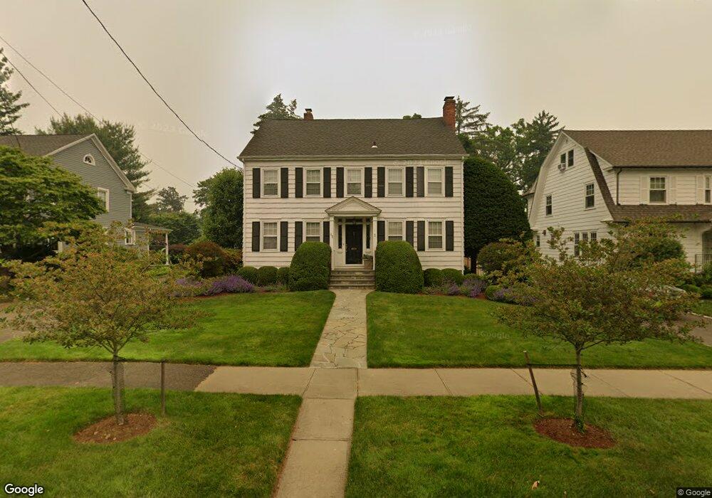
85 Rowland Rd Fairfield, CT 06824
Fairfield Beach NeighborhoodEstimated Value: $1,719,512 - $2,619,000
5
Beds
5
Baths
3,222
Sq Ft
$668/Sq Ft
Est. Value
About This Home
This home is located at 85 Rowland Rd, Fairfield, CT 06824 and is currently estimated at $2,153,128, approximately $668 per square foot. 85 Rowland Rd is a home located in Fairfield County with nearby schools including Roger Sherman Elementary School, Roger Ludlowe Middle School, and Fairfield Ludlowe High School.
Ownership History
Date
Name
Owned For
Owner Type
Purchase Details
Closed on
Aug 12, 2009
Sold by
Rice Alice K
Bought by
Vidoli Donald W and Vidoli Mariella C
Current Estimated Value
Create a Home Valuation Report for This Property
The Home Valuation Report is an in-depth analysis detailing your home's value as well as a comparison with similar homes in the area
Home Values in the Area
Average Home Value in this Area
Purchase History
| Date | Buyer | Sale Price | Title Company |
|---|---|---|---|
| Vidoli Donald W | -- | -- | |
| Vidoli Donald W | -- | -- |
Source: Public Records
Mortgage History
| Date | Status | Borrower | Loan Amount |
|---|---|---|---|
| Open | Vidoli Donald W | $150,000 | |
| Open | Vidoli Donald W | $795,000 |
Source: Public Records
Tax History Compared to Growth
Tax History
| Year | Tax Paid | Tax Assessment Tax Assessment Total Assessment is a certain percentage of the fair market value that is determined by local assessors to be the total taxable value of land and additions on the property. | Land | Improvement |
|---|---|---|---|---|
| 2025 | $17,645 | $621,530 | $311,430 | $310,100 |
| 2024 | $17,341 | $621,530 | $311,430 | $310,100 |
| 2023 | $17,098 | $621,530 | $311,430 | $310,100 |
| 2022 | $16,930 | $621,530 | $311,430 | $310,100 |
| 2021 | $16,769 | $621,530 | $311,430 | $310,100 |
| 2020 | $18,389 | $686,420 | $326,550 | $359,870 |
| 2019 | $18,389 | $686,420 | $326,550 | $359,870 |
| 2018 | $18,094 | $686,420 | $326,550 | $359,870 |
| 2017 | $17,723 | $686,420 | $326,550 | $359,870 |
| 2016 | $17,469 | $686,420 | $326,550 | $359,870 |
| 2015 | $15,921 | $642,250 | $358,610 | $283,640 |
| 2014 | $15,671 | $642,250 | $358,610 | $283,640 |
Source: Public Records
Map
Nearby Homes
- 345 Reef Rd Unit B6
- 345 Reef Rd Unit C9
- 137 Millard St
- 294 Catherine Terrace
- 196 Catherine Terrace
- 35 Millard St
- 378 Penfield Rd
- 394 Penfield Rd
- 260 Birch Rd
- 127 Paul Place
- 783 Reef Rd
- 465 Edward St
- 226 Ruane St
- 2 Mellow St
- 245 Unquowa Rd Unit 34
- 245 Unquowa Rd Unit 11
- 245 Unquowa Rd Unit 33
- 65 Thorpe St Unit 65
- 65 Thorpe St
- 96 Clinton St
- 67 Rowland Rd
- 97 Rowland Rd
- 82 Rowland Rd
- 113 Rowland Rd
- 53 Rowland Rd
- 60 Rowland Rd
- 127 Rowland Rd
- 94 Rowland Rd
- 70 Rowland Rd
- 37 Rowland Rd
- 49 Rowland Rd
- 104 Rowland Rd
- 108 Old Orchard Park
- 141 Rowland Rd
- 116 Rowland Rd
- 128 Rowland Rd
- 46 Rowland Rd
- 134 Old Orchard Park
- 889 Old Post Rd
- 144 Rowland Rd