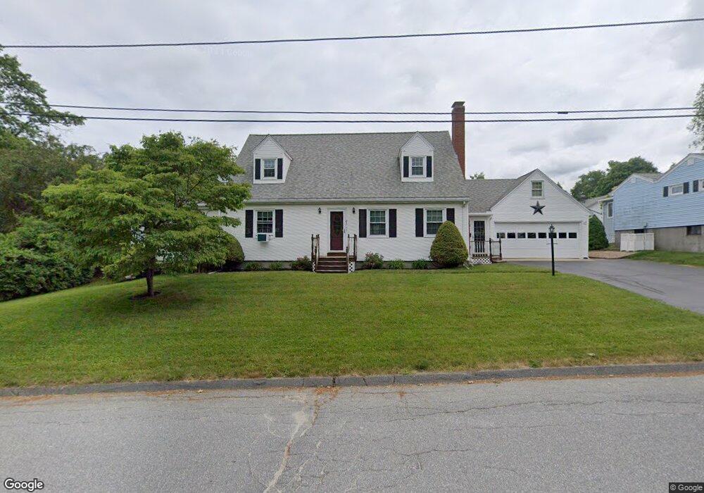
85 Sachem Ave Worcester, MA 01606
Burncoat NeighborhoodEstimated Value: $485,000 - $675,000
5
Beds
2
Baths
2,383
Sq Ft
$256/Sq Ft
Est. Value
About This Home
This home is located at 85 Sachem Ave, Worcester, MA 01606 and is currently estimated at $609,520, approximately $255 per square foot. 85 Sachem Ave is a home located in Worcester County with nearby schools including Worcester Arts Magnet School, Jacob Hiatt Magnet School, and Chandler Magnet.
Ownership History
Date
Name
Owned For
Owner Type
Purchase Details
Closed on
Apr 21, 1995
Sold by
Bourn Robert and Bourn Laura
Bought by
Savage Stephen and Cummings Deborah
Current Estimated Value
Home Financials for this Owner
Home Financials are based on the most recent Mortgage that was taken out on this home.
Original Mortgage
$85,000
Interest Rate
8.55%
Mortgage Type
Purchase Money Mortgage
Create a Home Valuation Report for This Property
The Home Valuation Report is an in-depth analysis detailing your home's value as well as a comparison with similar homes in the area
Home Values in the Area
Average Home Value in this Area
Purchase History
| Date | Buyer | Sale Price | Title Company |
|---|---|---|---|
| Savage Stephen | $135,000 | -- |
Source: Public Records
Mortgage History
| Date | Status | Borrower | Loan Amount |
|---|---|---|---|
| Open | Savage Stephen | $50,000 | |
| Closed | Savage Stephen | $85,000 |
Source: Public Records
Tax History Compared to Growth
Tax History
| Year | Tax Paid | Tax Assessment Tax Assessment Total Assessment is a certain percentage of the fair market value that is determined by local assessors to be the total taxable value of land and additions on the property. | Land | Improvement |
|---|---|---|---|---|
| 2025 | $7,703 | $584,000 | $118,700 | $465,300 |
| 2024 | $7,355 | $534,900 | $118,700 | $416,200 |
| 2023 | $6,879 | $479,700 | $103,200 | $376,500 |
| 2022 | $6,729 | $442,400 | $82,600 | $359,800 |
| 2021 | $5,967 | $366,500 | $66,100 | $300,400 |
| 2020 | $5,566 | $327,400 | $66,100 | $261,300 |
| 2019 | $5,762 | $320,100 | $59,500 | $260,600 |
| 2018 | $5,616 | $297,000 | $59,500 | $237,500 |
| 2017 | $5,297 | $275,600 | $59,500 | $216,100 |
| 2016 | $5,256 | $255,000 | $43,700 | $211,300 |
| 2015 | $5,118 | $255,000 | $43,700 | $211,300 |
| 2014 | $4,983 | $255,000 | $43,700 | $211,300 |
Source: Public Records
Map
Nearby Homes
- 276 Saint Nicholas Ave
- 113 Bay State Rd
- 304 Saint Nicholas Ave
- 120 Bay State Rd
- 2206 Halcyon Dr Unit 2206
- 95 Saint Nicholas Ave
- 8 Cherry Blossom Cir Unit 50
- 13 Fatima Ln
- 3 Granville Ave
- 23 Viele Ave
- 15 Inwood Rd
- 18 Claffey Ave
- 134 Whitmarsh Ave
- 2 Maria Ln Unit 2
- 31 Enaya Cir Unit 31
- 40 Francis St
- 14 Mary Ann Dr
- 25 White Ave
- 45 Goldthwaite Rd
- 15 Wayside Rd
- 89 Sachem Ave
- 135 Ontario St
- 44 Pocasset Ave
- 42 Pocasset Ave
- 88 Sachem Ave
- 133 Ontario St
- 58 Pocasset Ave
- 95 Sachem Ave
- Lot 1 Sachem Ave
- 129 Ontario St
- 45 Pocasset Ave
- 27 Sachem Ave
- 25 Acushnet Ave
- 23A Acushnet Ave
- 23 Acushnet Ave
- 38 Pocasset Ave
- 31 Acushnet Ave
- 45 Acushnet Ave
- 41 Pocasset Ave
- 66 Pocasset Ave