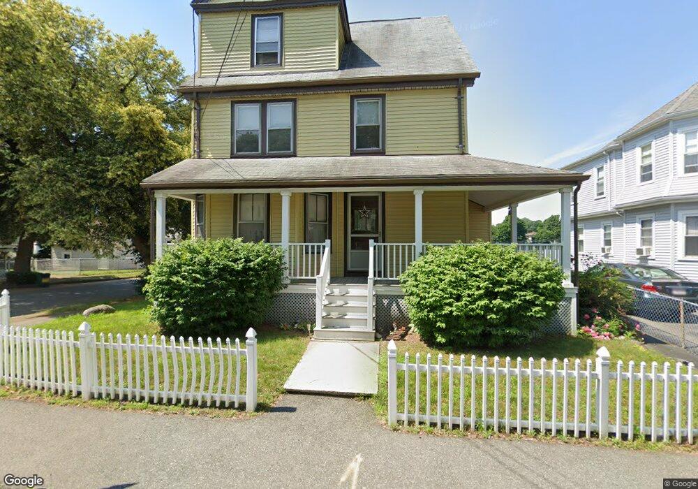
85 Safford St Quincy, MA 02170
Montclair NeighborhoodEstimated Value: $1,199,000 - $1,338,972
3
Beds
3
Baths
2,884
Sq Ft
$443/Sq Ft
Est. Value
About This Home
This home is located at 85 Safford St, Quincy, MA 02170 and is currently estimated at $1,278,993, approximately $443 per square foot. 85 Safford St is a home located in Norfolk County with nearby schools including Montclair Elementary School, Atlantic Middle School, and North Quincy High School.
Ownership History
Date
Name
Owned For
Owner Type
Purchase Details
Closed on
Sep 3, 2008
Sold by
Doren Agnes A
Bought by
Doren Agnes A and Doren David W
Current Estimated Value
Purchase Details
Closed on
Apr 2, 2004
Sold by
Donahue Catherine and Donahue Thomas
Bought by
Donahue Ft and Donahue
Create a Home Valuation Report for This Property
The Home Valuation Report is an in-depth analysis detailing your home's value as well as a comparison with similar homes in the area
Home Values in the Area
Average Home Value in this Area
Purchase History
| Date | Buyer | Sale Price | Title Company |
|---|---|---|---|
| Doren Agnes A | -- | -- | |
| Donahue Ft | -- | -- |
Source: Public Records
Tax History Compared to Growth
Tax History
| Year | Tax Paid | Tax Assessment Tax Assessment Total Assessment is a certain percentage of the fair market value that is determined by local assessors to be the total taxable value of land and additions on the property. | Land | Improvement |
|---|---|---|---|---|
| 2025 | $13,982 | $1,212,700 | $337,700 | $875,000 |
| 2024 | $11,822 | $1,049,000 | $337,700 | $711,300 |
| 2023 | $3,691 | $331,600 | $321,600 | $10,000 |
| 2022 | $3,471 | $289,700 | $279,700 | $10,000 |
| 2021 | $7,132 | $587,500 | $266,400 | $321,100 |
| 2020 | $7,304 | $587,600 | $266,400 | $321,200 |
| 2019 | $6,825 | $543,800 | $249,000 | $294,800 |
| 2018 | $6,862 | $514,400 | $230,500 | $283,900 |
| 2017 | $6,450 | $455,200 | $219,500 | $235,700 |
| 2016 | $5,801 | $404,000 | $190,900 | $213,100 |
| 2015 | $5,621 | $385,000 | $173,500 | $211,500 |
| 2014 | $4,989 | $335,700 | $165,300 | $170,400 |
Source: Public Records
Map
Nearby Homes
- 143 Arlington St
- 115 W Squantum St Unit 907
- 115 W Squantum St Unit 810
- 250 Fayette St
- 17 Holmes St Unit 2
- 17 Holmes St Unit 4
- 522 Hancock St
- 129-131 Pine St
- 323 Farrington St
- 11 Earle St
- 169 Pine St
- 45 Marion St
- 85 E Squantum St Unit 10
- 171 Milton St
- 121 Hillside Ave
- 101 Beach St
- 51 Denmark Ave
- 100 Grandview Ave Unit 11A
- 6 Warwick St
- 111 Warren Ave Unit 1F
- 83 Safford St
- 77 Safford St
- 93 Safford St
- 76 Safford St Unit 1
- 86 Safford St
- 86 Safford St Unit 2
- 86 Safford St Unit 1
- 4 Hamilton St
- 90 Safford St Unit 1
- 90 Safford St Unit 3
- 90 Safford St Unit 2
- 4 Hamilton Ave
- 82 Safford St
- 71 Safford St
- 71 Safford St Unit B
- 97 Safford St
- 97 Safford St Unit 3
- 73 Safford St Unit A
- 73 Safford St
- 78 Safford St