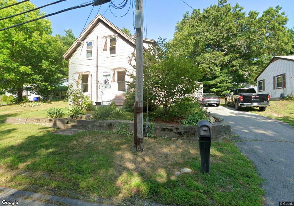
85 Scadding St Taunton, MA 02780
Prospect Hill NeighborhoodEstimated Value: $289,000 - $397,000
3
Beds
1
Bath
1,054
Sq Ft
$331/Sq Ft
Est. Value
About This Home
This home is located at 85 Scadding St, Taunton, MA 02780 and is currently estimated at $349,031, approximately $331 per square foot. 85 Scadding St is a home located in Bristol County with nearby schools including Benjamin Friedman Middle School, Joseph C. Chamberlain Elementary School, and Taunton High School.
Ownership History
Date
Name
Owned For
Owner Type
Purchase Details
Closed on
Jul 23, 2015
Sold by
Askew Allen
Bought by
Horton Tracy A
Current Estimated Value
Home Financials for this Owner
Home Financials are based on the most recent Mortgage that was taken out on this home.
Original Mortgage
$67,900
Outstanding Balance
$53,220
Interest Rate
4.01%
Mortgage Type
New Conventional
Estimated Equity
$295,811
Purchase Details
Closed on
May 31, 2011
Sold by
Est Stankiewise Mary V and Miggins Theresa A
Bought by
Askew Allen
Create a Home Valuation Report for This Property
The Home Valuation Report is an in-depth analysis detailing your home's value as well as a comparison with similar homes in the area
Home Values in the Area
Average Home Value in this Area
Purchase History
| Date | Buyer | Sale Price | Title Company |
|---|---|---|---|
| Horton Tracy A | $70,000 | -- | |
| Askew Allen | $75,000 | -- |
Source: Public Records
Mortgage History
| Date | Status | Borrower | Loan Amount |
|---|---|---|---|
| Open | Horton Tracy A | $67,900 |
Source: Public Records
Tax History
| Year | Tax Paid | Tax Assessment Tax Assessment Total Assessment is a certain percentage of the fair market value that is determined by local assessors to be the total taxable value of land and additions on the property. | Land | Improvement |
|---|---|---|---|---|
| 2025 | $3,084 | $281,900 | $123,900 | $158,000 |
| 2024 | $2,820 | $252,000 | $123,900 | $128,100 |
| 2023 | $2,909 | $241,400 | $129,500 | $111,900 |
| 2022 | $2,645 | $200,700 | $100,400 | $100,300 |
| 2021 | $2,556 | $180,000 | $91,300 | $88,700 |
| 2020 | $2,514 | $169,200 | $91,300 | $77,900 |
| 2019 | $2,484 | $157,600 | $91,300 | $66,300 |
| 2018 | $2,438 | $155,100 | $92,200 | $62,900 |
| 2017 | $2,818 | $179,400 | $87,400 | $92,000 |
| 2016 | $2,053 | $130,900 | $84,900 | $46,000 |
| 2015 | $2,306 | $153,600 | $83,000 | $70,600 |
| 2014 | $1,914 | $131,000 | $83,000 | $48,000 |
Source: Public Records
Map
Nearby Homes
- 41 Scadding St
- 68 Sabbatia Ln
- 930 Bay St
- 191 Red Oak Terrace
- 2 Bassett St
- 0 Montclair Ave Unit 72130752
- 19 Abbey Ln
- 170 Lake Ridge Dr
- 563 Whittenton St
- 0 Whittenton St
- 10 Johnny Mac Way Unit B
- 13 Daisy Ave
- 28 Cottage St
- 1 Elizabeth St
- 34 Warren St
- 9 Valley Forge Rd
- 11 Settlers Rd
- 193 Fremont St
- 17 Green St
- 5 Green St
- 81 Scadding St
- 87 Scadding St
- 30 Hillside Dr
- 38 Hillside Dr
- 56 Scadding St
- 86 Scadding St
- 77 Scadding St
- 18 Hillside Dr
- 54 Scadding St
- 24 Hillside Dr
- 40 Hillside Dr
- 19 Hillside Dr
- 25 Hillside Dr
- 25 Hillside Dr
- 2 Stanley Dr
- 3 Shore Dr
- 52 Scadding St
- 0 Hillside Dr
- 22 Conifer Dr Unit B
- 22 Conifer Dr Unit A
Your Personal Tour Guide
Ask me questions while you tour the home.