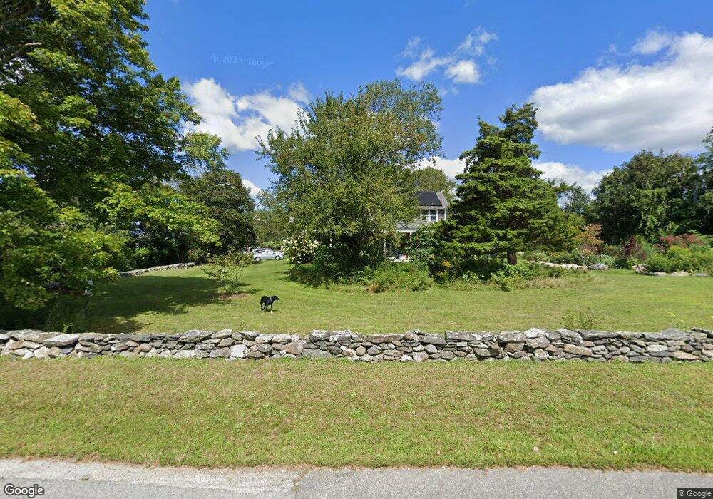
85 Shaw Rd Little Compton, RI 02837
Estimated Value: $1,649,000 - $2,045,303
--
Bed
2
Baths
--
Sq Ft
0.96
Acres
About This Home
This home is located at 85 Shaw Rd, Little Compton, RI 02837 and is currently estimated at $1,840,576. 85 Shaw Rd is a home located in Newport County with nearby schools including Wilbur & McMahon School.
Ownership History
Date
Name
Owned For
Owner Type
Purchase Details
Closed on
Nov 7, 2001
Sold by
Appleton Charles N and Appleton Carol
Bought by
Mackenzie Kenneth A and Mackenzie Joanne
Current Estimated Value
Home Financials for this Owner
Home Financials are based on the most recent Mortgage that was taken out on this home.
Original Mortgage
$240,000
Outstanding Balance
$92,086
Interest Rate
6.77%
Mortgage Type
Purchase Money Mortgage
Estimated Equity
$1,748,490
Create a Home Valuation Report for This Property
The Home Valuation Report is an in-depth analysis detailing your home's value as well as a comparison with similar homes in the area
Home Values in the Area
Average Home Value in this Area
Purchase History
| Date | Buyer | Sale Price | Title Company |
|---|---|---|---|
| Mackenzie Kenneth A | $320,000 | -- | |
| Mackenzie Kenneth A | $320,000 | -- |
Source: Public Records
Mortgage History
| Date | Status | Borrower | Loan Amount |
|---|---|---|---|
| Open | Mackenzie Kenneth A | $240,000 | |
| Closed | Mackenzie Kenneth A | $240,000 |
Source: Public Records
Tax History Compared to Growth
Tax History
| Year | Tax Paid | Tax Assessment Tax Assessment Total Assessment is a certain percentage of the fair market value that is determined by local assessors to be the total taxable value of land and additions on the property. | Land | Improvement |
|---|---|---|---|---|
| 2025 | $5,767 | $1,204,000 | $330,400 | $873,600 |
| 2024 | $5,145 | $1,012,800 | $287,300 | $725,500 |
| 2023 | $4,976 | $1,003,200 | $287,300 | $715,900 |
| 2022 | $4,268 | $871,000 | $287,300 | $583,700 |
| 2021 | $4,857 | $804,200 | $249,600 | $554,600 |
| 2020 | $4,817 | $804,200 | $249,600 | $554,600 |
| 2019 | $4,769 | $804,200 | $249,600 | $554,600 |
| 2018 | $4,534 | $760,700 | $249,600 | $511,100 |
| 2016 | $4,313 | $760,700 | $249,600 | $511,100 |
| 2015 | $4,774 | $830,300 | $226,900 | $603,400 |
| 2014 | $4,729 | $838,500 | $226,900 | $611,600 |
Source: Public Records
Map
Nearby Homes
- 141 S Of Commons Rd
- 18 Old Barn Rd
- 128 Maple Ave
- 536 W Main Rd
- 304 Brayton Point Rd
- 189 Brayton Point Rd
- 0 Willow Ave
- 441 W Main Rd
- 505 Long Hwy
- 255 John Dyer Rd
- 19 Seabury Ln
- 180 W Main Rd
- 245 John Dyer Rd
- 17 Ferolbink Way
- 155 W Main Rd
- 83 Long Hwy
- 6 June Way
- 116 Amy Hart Path
- 55 W Main Rd
- 515 Indian Ave