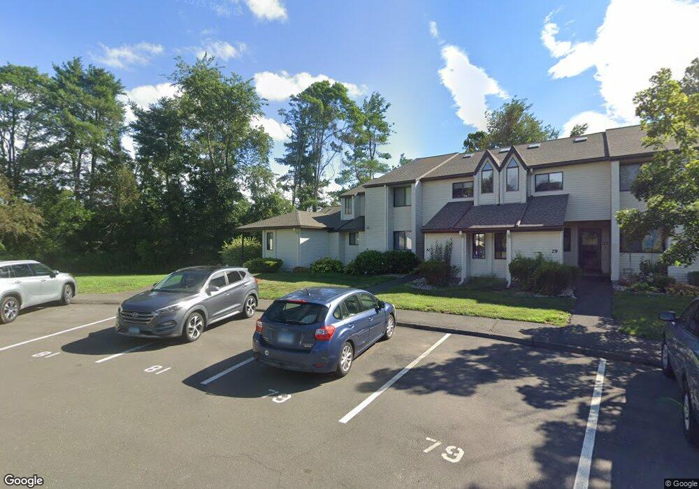
85 Simsbury Landing Simsbury, CT 06070
Estimated Value: $284,000 - $317,000
2
Beds
3
Baths
1,346
Sq Ft
$220/Sq Ft
Est. Value
About This Home
This home is located at 85 Simsbury Landing, Simsbury, CT 06070 and is currently estimated at $296,200, approximately $220 per square foot. 85 Simsbury Landing is a home located in Hartford County with nearby schools including Tariffville School, Henry James Memorial School, and Simsbury High School.
Ownership History
Date
Name
Owned For
Owner Type
Purchase Details
Closed on
Jun 27, 2017
Sold by
Sandstrom Claire
Bought by
Sandstrom Kimberly A
Current Estimated Value
Home Financials for this Owner
Home Financials are based on the most recent Mortgage that was taken out on this home.
Original Mortgage
$40,000
Outstanding Balance
$27,332
Interest Rate
3.94%
Mortgage Type
Unknown
Estimated Equity
$268,868
Purchase Details
Closed on
Nov 16, 1995
Sold by
Emc Mtg Corp
Bought by
Sandstrom Kimberly
Create a Home Valuation Report for This Property
The Home Valuation Report is an in-depth analysis detailing your home's value as well as a comparison with similar homes in the area
Home Values in the Area
Average Home Value in this Area
Purchase History
| Date | Buyer | Sale Price | Title Company |
|---|---|---|---|
| Sandstrom Kimberly A | -- | -- | |
| Sandstrom Kimberly | $69,125 | -- |
Source: Public Records
Mortgage History
| Date | Status | Borrower | Loan Amount |
|---|---|---|---|
| Open | Sandstrom Kimberly | $40,000 | |
| Previous Owner | Sandstrom Kimberly | $86,500 | |
| Previous Owner | Sandstrom Kimberly | $50,000 |
Source: Public Records
Tax History Compared to Growth
Tax History
| Year | Tax Paid | Tax Assessment Tax Assessment Total Assessment is a certain percentage of the fair market value that is determined by local assessors to be the total taxable value of land and additions on the property. | Land | Improvement |
|---|---|---|---|---|
| 2025 | $4,417 | $129,290 | $0 | $129,290 |
| 2024 | $4,307 | $129,290 | $0 | $129,290 |
| 2023 | $4,114 | $129,290 | $0 | $129,290 |
| 2022 | $4,428 | $114,620 | $0 | $114,620 |
| 2021 | $4,428 | $114,620 | $0 | $114,620 |
| 2020 | $4,251 | $114,620 | $0 | $114,620 |
| 2019 | $4,278 | $114,620 | $0 | $114,620 |
| 2018 | $4,309 | $114,620 | $0 | $114,620 |
| 2017 | $3,321 | $85,680 | $0 | $85,680 |
| 2016 | $3,180 | $85,680 | $0 | $85,680 |
| 2015 | $3,180 | $85,680 | $0 | $85,680 |
| 2014 | $3,182 | $85,680 | $0 | $85,680 |
Source: Public Records
Map
Nearby Homes
- 19 Simsbury Landing
- 45 Hoskins Rd
- 14 Gordon St
- 26 Winterset Ln
- 11 Mallard Cir
- 23 Maple St
- 2 Quail Dr Unit 2
- 14 Teal Cir Unit 14
- 7 Knollwood Cir
- 21 Berkshire Way
- 16 Berkshire Way
- 27 Brettonwood Dr Unit 27
- 14 Main Street Extension
- 14 Brettonwood Dr
- 68 Tariffville Rd
- 24 Hunting Ridge Dr
- 65 Chriswell Dr
- 324 Firetown Rd
- 141 Firetown Rd
- 19 Elaine Dr
- 83 Simsbury Landing
- 83 Simsbury Landing Unit 83
- 81 Simsbury Landing
- 79 Simsbury Landing
- 35 Simsbury Landing
- 73 Simsbury Landing
- 65 Simsbury Landing
- 66 Simsbury Landing
- 77 Simsbury Landing
- 67 Simsbury Landing
- 69 Simsbury Landing
- 68 Simsbury Landing
- 71 Simsbury Landing
- 65 Simsbury Landing Unit 65
- 66 Simsbury Landing Unit 66 Simsbury Landing
- 70 Simsbury Landing
- 77 Simsbury Landing Unit 77
- 66 Simsbury Landing Unit 33
- 17 Simsburylanding06070 Unit 17
- 64 Simsbury Landing