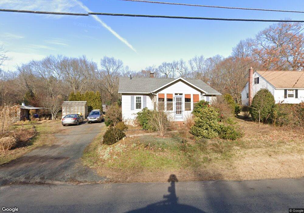
85 Stoughton Rd East Windsor, CT 06088
Estimated Value: $253,000 - $308,000
3
Beds
1
Bath
924
Sq Ft
$303/Sq Ft
Est. Value
About This Home
This home is located at 85 Stoughton Rd, East Windsor, CT 06088 and is currently estimated at $280,362, approximately $303 per square foot. 85 Stoughton Rd is a home located in Hartford County with nearby schools including Broad Brook Elementary School, East Windsor Middle School, and East Windsor High School.
Ownership History
Date
Name
Owned For
Owner Type
Purchase Details
Closed on
Jul 1, 2005
Sold by
King Robert and King Debra
Bought by
Wasik Paul and Wasik Anna
Current Estimated Value
Purchase Details
Closed on
Apr 22, 1988
Sold by
Mearecki Walter
Bought by
King Robert
Home Financials for this Owner
Home Financials are based on the most recent Mortgage that was taken out on this home.
Original Mortgage
$100,800
Interest Rate
9.89%
Create a Home Valuation Report for This Property
The Home Valuation Report is an in-depth analysis detailing your home's value as well as a comparison with similar homes in the area
Home Values in the Area
Average Home Value in this Area
Purchase History
| Date | Buyer | Sale Price | Title Company |
|---|---|---|---|
| Wasik Paul | $174,900 | -- | |
| King Robert | $112,000 | -- |
Source: Public Records
Mortgage History
| Date | Status | Borrower | Loan Amount |
|---|---|---|---|
| Previous Owner | King Robert | $97,200 | |
| Previous Owner | King Robert | $100,800 |
Source: Public Records
Tax History Compared to Growth
Tax History
| Year | Tax Paid | Tax Assessment Tax Assessment Total Assessment is a certain percentage of the fair market value that is determined by local assessors to be the total taxable value of land and additions on the property. | Land | Improvement |
|---|---|---|---|---|
| 2025 | $4,525 | $167,420 | $79,490 | $87,930 |
| 2024 | $4,380 | $167,420 | $79,490 | $87,930 |
| 2023 | $2,860 | $78,180 | $49,780 | $28,400 |
| 2022 | $3,016 | $78,180 | $49,780 | $28,400 |
| 2021 | $2,846 | $78,180 | $49,780 | $28,400 |
| 2020 | $2,847 | $78,180 | $49,780 | $28,400 |
| 2019 | $2,787 | $78,180 | $49,780 | $28,400 |
| 2018 | $2,760 | $78,180 | $49,780 | $28,400 |
| 2017 | $2,942 | $86,350 | $57,380 | $28,970 |
| 2016 | $2,774 | $86,350 | $57,380 | $28,970 |
| 2015 | $2,617 | $86,350 | $57,380 | $28,970 |
| 2014 | $2,572 | $86,350 | $57,380 | $28,970 |
Source: Public Records
Map
Nearby Homes
- 153 Scantic Rd
- 145 Scantic Rd
- 20 Phelps Rd
- 107B S Main St
- 1307 Meadowview Dr
- 2006 Meadowview Dr
- 17 Cathy (Lot 18) Ln
- 19 Cathy (Lot 19) Ln
- 21 Ln
- 23 Cathy (Lot 21) Ln
- 18 Cathy (Lot 17) Ln
- 20 Cathy (Lot 16) Ln
- 27 W River Rd
- 24 Cathy (Lot 14) Ln
- 43 W River Rd
- 26 Cathy (Lot 13) Ln
- 37 W River Rd
- 29 W River Rd
- 372 Scantic Rd Unit 8
- 294 S Main St Unit LOT 18
- 87 Stoughton Rd
- 89 Stoughton Rd
- 84 Stoughton Rd
- 83 Stoughton Rd
- 88 Stoughton Rd
- 91 Stoughton Rd
- 92 Stoughton Rd
- 196 Scantic Rd
- 96 Stoughton Rd
- 76 Stoughton Rd
- 75 Stoughton Rd
- 95 Stoughton Rd
- 73 Stoughton Rd
- 74 Stoughton Rd
- 97 Stoughton Rd
- 192 Scantic Rd
- 71 Stoughton Rd
- 202 Scantic Rd
- 72 Stoughton Rd
- 228 Scantic Rd