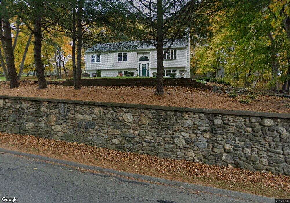
85 Stow Rd Marlborough, MA 01752
Estimated Value: $620,000 - $684,000
3
Beds
1
Bath
860
Sq Ft
$770/Sq Ft
Est. Value
About This Home
This home is located at 85 Stow Rd, Marlborough, MA 01752 and is currently estimated at $662,446, approximately $770 per square foot. 85 Stow Rd is a home located in Middlesex County with nearby schools including Marlborough High School, New Covenant Christian School, and Glenhaven Academy - JRI School.
Ownership History
Date
Name
Owned For
Owner Type
Purchase Details
Closed on
May 10, 2022
Sold by
Capodanno Raymond V and Capodanno Manuela
Bought by
Capodanno Raymond V and Capodanno Manuela
Current Estimated Value
Purchase Details
Closed on
Aug 8, 2012
Sold by
Capodanno Raymond V and Capodanno Manuela
Bought by
Capodanno Raymond and Capodanno Manuela
Purchase Details
Closed on
Nov 7, 1997
Sold by
Otenti Thomas A
Bought by
Capodanno Raymond and Capodanno Manuela
Home Financials for this Owner
Home Financials are based on the most recent Mortgage that was taken out on this home.
Original Mortgage
$173,000
Interest Rate
7.19%
Mortgage Type
Purchase Money Mortgage
Purchase Details
Closed on
May 20, 1997
Sold by
Baybank Na
Bought by
Otenti Thomas A
Purchase Details
Closed on
Apr 18, 1997
Sold by
Monahan Stephen P
Bought by
Baybank
Purchase Details
Closed on
Dec 13, 1993
Sold by
Est Monahan Anthony S and Mohahan Michael
Bought by
Monahan Stephen P
Create a Home Valuation Report for This Property
The Home Valuation Report is an in-depth analysis detailing your home's value as well as a comparison with similar homes in the area
Home Values in the Area
Average Home Value in this Area
Purchase History
| Date | Buyer | Sale Price | Title Company |
|---|---|---|---|
| Capodanno Raymond V | -- | None Available | |
| Capodanno Raymond V | -- | None Available | |
| Capodanno Raymond | -- | -- | |
| Capodanno Raymond | $216,250 | -- | |
| Otenti Thomas A | $62,200 | -- | |
| Baybank | $80,000 | -- | |
| Monahan Stephen P | $85,000 | -- |
Source: Public Records
Mortgage History
| Date | Status | Borrower | Loan Amount |
|---|---|---|---|
| Previous Owner | Monahan Stephen P | $183,400 | |
| Previous Owner | Monahan Stephen P | $182,200 | |
| Previous Owner | Monahan Stephen P | $173,000 |
Source: Public Records
Tax History Compared to Growth
Tax History
| Year | Tax Paid | Tax Assessment Tax Assessment Total Assessment is a certain percentage of the fair market value that is determined by local assessors to be the total taxable value of land and additions on the property. | Land | Improvement |
|---|---|---|---|---|
| 2025 | $5,806 | $588,800 | $217,700 | $371,100 |
| 2024 | $5,641 | $550,900 | $198,000 | $352,900 |
| 2023 | $5,952 | $515,800 | $161,700 | $354,100 |
| 2022 | $5,732 | $436,900 | $153,900 | $283,000 |
| 2021 | $5,528 | $400,600 | $125,500 | $275,100 |
| 2020 | $10,428 | $385,600 | $122,300 | $263,300 |
| 2019 | $5,216 | $370,700 | $119,800 | $250,900 |
| 2018 | $9,392 | $377,000 | $115,600 | $261,400 |
| 2017 | $5,483 | $357,900 | $113,500 | $244,400 |
| 2016 | $5,604 | $365,300 | $113,500 | $251,800 |
| 2015 | $4,958 | $314,600 | $115,800 | $198,800 |
Source: Public Records
Map
Nearby Homes
- 323 Robert Rd
- 38 Airport Blvd
- 37 Hosmer St Unit 10
- 37 Hosmer St Unit 20
- 256 Robert Rd
- 45 Raffaele Rd
- 116 Boston Post Rd E Unit 105
- 110 Boston Post Rd E Unit 104
- 96 Cook Ln
- 181 Boston Post Rd E Unit 26
- 97 Cook Ln
- 41 Kane Dr
- 261 Boston Post Rd E Unit 1
- 271 Boston Post Rd E Unit 4
- 99 Kings Grant Rd
- 24 Clinton St
- 23 Victoria Ln
- 16 Clinton St
- 274 Naugler Ave
- 70 Phelps St