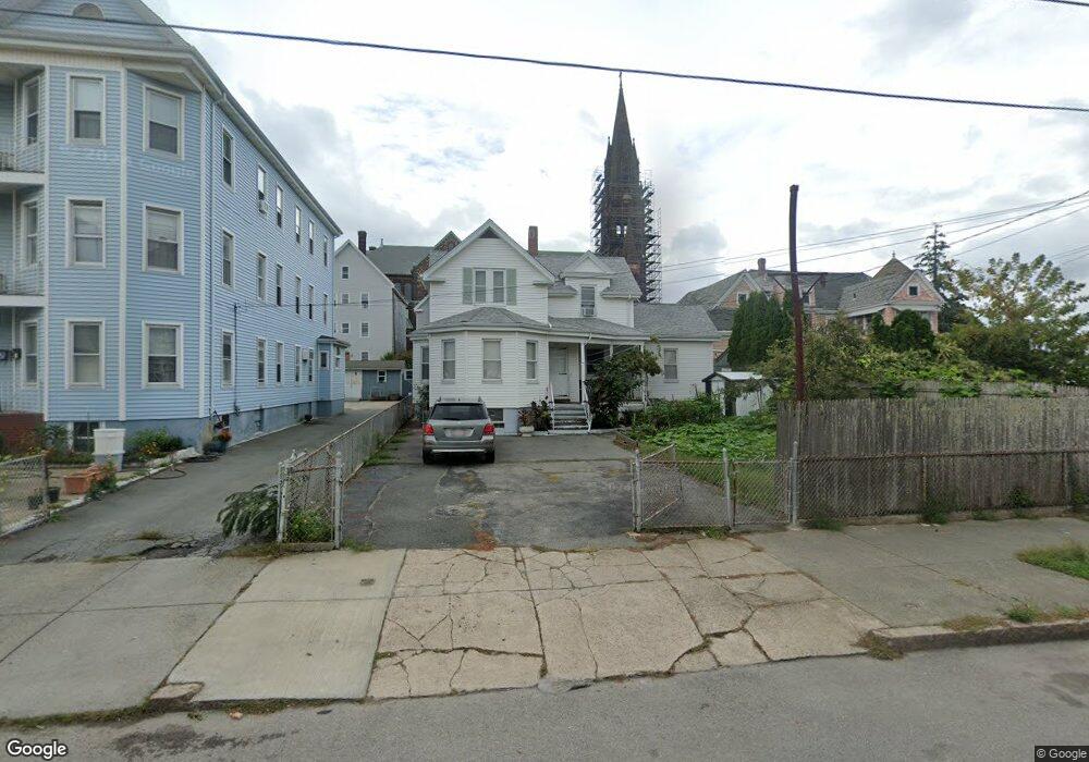
85 Tallman St New Bedford, MA 02746
Riverside Park NeighborhoodEstimated Value: $330,000 - $374,649
3
Beds
2
Baths
1,096
Sq Ft
$325/Sq Ft
Est. Value
About This Home
This home is located at 85 Tallman St, New Bedford, MA 02746 and is currently estimated at $356,662, approximately $325 per square foot. 85 Tallman St is a home located in Bristol County with nearby schools including Hayden McFadden Elementary School, Keith Middle School, and New Bedford High School.
Ownership History
Date
Name
Owned For
Owner Type
Purchase Details
Closed on
Oct 3, 2025
Sold by
Pires Laurinda and Gomes Maria
Bought by
Saquic Martin M and Ordonez Petronila M
Current Estimated Value
Home Financials for this Owner
Home Financials are based on the most recent Mortgage that was taken out on this home.
Original Mortgage
$260,000
Outstanding Balance
$260,000
Interest Rate
6.58%
Mortgage Type
New Conventional
Estimated Equity
$96,662
Create a Home Valuation Report for This Property
The Home Valuation Report is an in-depth analysis detailing your home's value as well as a comparison with similar homes in the area
Home Values in the Area
Average Home Value in this Area
Purchase History
| Date | Buyer | Sale Price | Title Company |
|---|---|---|---|
| Saquic Martin M | $325,000 | -- |
Source: Public Records
Mortgage History
| Date | Status | Borrower | Loan Amount |
|---|---|---|---|
| Open | Saquic Martin M | $260,000 |
Source: Public Records
Tax History Compared to Growth
Tax History
| Year | Tax Paid | Tax Assessment Tax Assessment Total Assessment is a certain percentage of the fair market value that is determined by local assessors to be the total taxable value of land and additions on the property. | Land | Improvement |
|---|---|---|---|---|
| 2025 | $3,683 | $325,600 | $97,700 | $227,900 |
| 2024 | $3,222 | $268,500 | $73,300 | $195,200 |
| 2023 | $3,048 | $213,300 | $62,500 | $150,800 |
| 2022 | $2,684 | $172,700 | $57,000 | $115,700 |
| 2021 | $2,605 | $167,100 | $57,000 | $110,100 |
| 2020 | $2,579 | $159,600 | $57,000 | $102,600 |
| 2019 | $2,533 | $153,800 | $57,000 | $96,800 |
| 2018 | $2,383 | $143,300 | $57,000 | $86,300 |
| 2017 | $2,246 | $134,600 | $57,000 | $77,600 |
| 2016 | $2,137 | $129,600 | $57,000 | $72,600 |
| 2015 | $1,993 | $126,700 | $58,600 | $68,100 |
| 2014 | $1,937 | $127,800 | $61,900 | $65,900 |
Source: Public Records
Map
Nearby Homes
- 178 Ashley Blvd
- 330 N Front St
- 239 Sawyer St
- 193 Ashley Blvd
- 284 Sawyer St
- 98 Beetle St
- 234 Phillips Ave
- 0 Coggeshall St
- 24 Cotter St
- 301 Davis St
- 34 Washburn St Unit 36
- 498-500 Coggeshall St
- 9 Clark St
- 125 +135 Tinkham St
- 203-205 Tinkham St
- 128 Nash Rd
- 219 Hathaway St
- 100 Peckham St
- 20 Lafrance Ct
- 190 Weld St
- 87 Tallman St
- 1301-1307 Acushnet Ave
- 1301 Acushnet Ave
- 1301 Acushnet Ave Unit 101-408
- 1325 Acushnet Ave
- 78 Tallman St
- 91 Tallman St
- 1293 Acushnet Ave Unit 1295
- 78 Nye St
- 82 1/2 Nye St
- 80 Nye St
- 84 Nye St
- 84 Nye St Unit 2
- 90 Tallman St
- 1283 Acushnet Ave Unit 1289
- 1283-1289 Acushnet Ave
- 95 Tallman St
- 1351 Acushnet Ave
- 1351 Acushnet Ave
- 86 Nye St