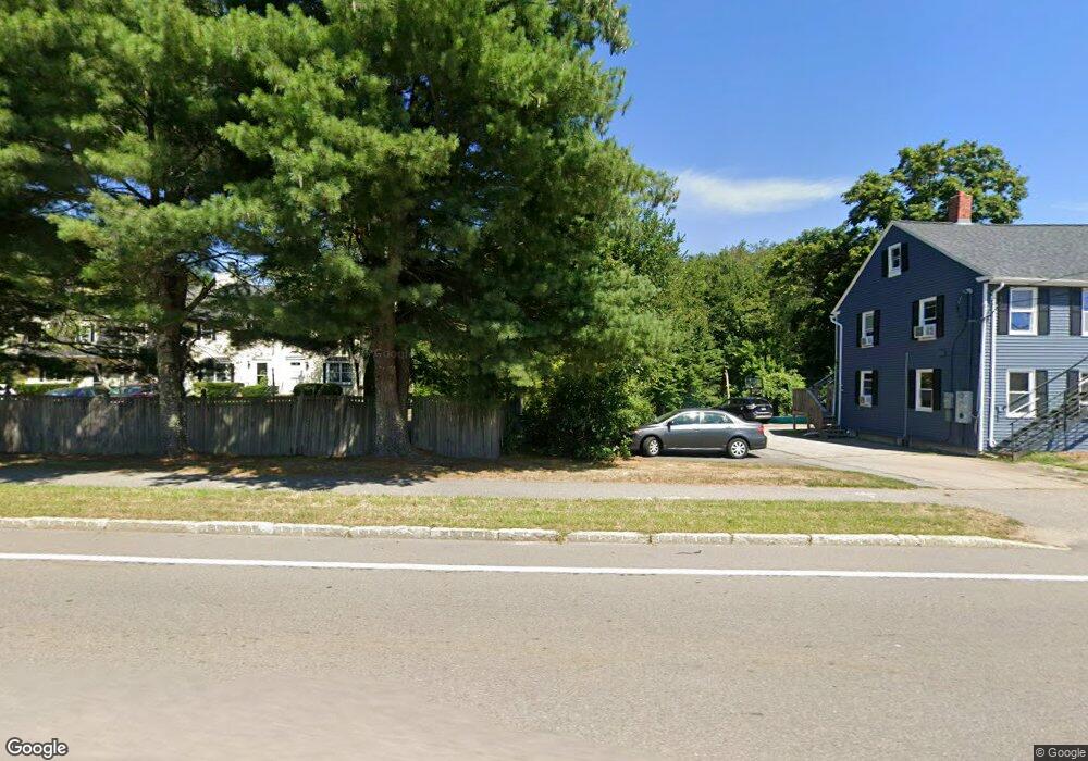
85 W Main St Unit 2 Norton, MA 02766
Estimated Value: $355,000 - $455,000
2
Beds
2
Baths
1,276
Sq Ft
$300/Sq Ft
Est. Value
About This Home
This home is located at 85 W Main St Unit 2, Norton, MA 02766 and is currently estimated at $382,925, approximately $300 per square foot. 85 W Main St Unit 2 is a home located in Bristol County with nearby schools including J.C. Solmonese Elementary School, Henri A. Yelle Elementary School, and Norton Middle School.
Ownership History
Date
Name
Owned For
Owner Type
Purchase Details
Closed on
Aug 10, 2021
Sold by
Campot Kevin R and Damasen Divina D
Bought by
Campot Rt
Current Estimated Value
Purchase Details
Closed on
May 24, 2001
Sold by
Danforth Edwin B and Danforth Driscoll-Danforth S
Bought by
Kanofsky Marcie L
Home Financials for this Owner
Home Financials are based on the most recent Mortgage that was taken out on this home.
Original Mortgage
$119,925
Interest Rate
7.05%
Mortgage Type
Purchase Money Mortgage
Create a Home Valuation Report for This Property
The Home Valuation Report is an in-depth analysis detailing your home's value as well as a comparison with similar homes in the area
Home Values in the Area
Average Home Value in this Area
Purchase History
| Date | Buyer | Sale Price | Title Company |
|---|---|---|---|
| Campot Rt | -- | None Available | |
| Kanofsky Marcie L | $159,900 | -- |
Source: Public Records
Mortgage History
| Date | Status | Borrower | Loan Amount |
|---|---|---|---|
| Previous Owner | Kanofsky Marcie L | $119,925 |
Source: Public Records
Tax History Compared to Growth
Tax History
| Year | Tax Paid | Tax Assessment Tax Assessment Total Assessment is a certain percentage of the fair market value that is determined by local assessors to be the total taxable value of land and additions on the property. | Land | Improvement |
|---|---|---|---|---|
| 2025 | $37 | $287,500 | $0 | $287,500 |
| 2024 | $3,616 | $279,200 | $0 | $279,200 |
| 2023 | $3,280 | $252,500 | $0 | $252,500 |
| 2022 | $3,354 | $235,200 | $0 | $235,200 |
| 2021 | $3,256 | $218,100 | $0 | $218,100 |
| 2020 | $3,327 | $224,800 | $0 | $224,800 |
| 2019 | $3,208 | $215,300 | $0 | $215,300 |
| 2018 | $3,156 | $208,200 | $0 | $208,200 |
| 2017 | $3,022 | $196,600 | $0 | $196,600 |
| 2016 | $3,044 | $195,000 | $0 | $195,000 |
| 2015 | $2,944 | $191,300 | $0 | $191,300 |
| 2014 | $2,857 | $185,900 | $0 | $185,900 |
Source: Public Records
Map
Nearby Homes
- 75 Barrows St
- 3 Lloyd Cir Unit 43
- 20 Lloyd Cir Unit 32
- 18 Lloyd Cir Unit 31
- 14 Lloyd Cir Unit 29
- 93 Mansfield Ave
- 34R Pine St
- 178 S Worcester St
- 170 S Worcester St Unit 3
- 145 S Worcester St
- 90 Pine St
- 38 Danielle St
- 225 S Worcester St Unit 1
- 225 S Worcester St Unit 2
- 108 S Worcester St
- 16 Park Ln
- 157 Mansfield Ave Unit 14
- 73 Godfrey Dr
- 23 Indian Rd
- 8 Johnson Dr
- 85 W Main St Unit 6
- 85 W Main St Unit 5
- 85 W Main St Unit 4
- 85 W Main St Unit 3
- 85 W Main St Unit 1
- 85 W Main St Unit 2 85
- 85 W Main St Unit 6-85
- 83 W Main St
- 83 W Main St Unit 1
- 91 W Main St Unit 6
- 91 W Main St Unit 5
- 91 W Main St Unit 4
- 91 W Main St Unit 3
- 91 W Main St Unit 2
- 91 W Main St Unit 1
- 79 W Main St
- 88 W Main St
- 88 W Main St Unit 10
- 88 W Main St Unit 1
- 86 W Main St