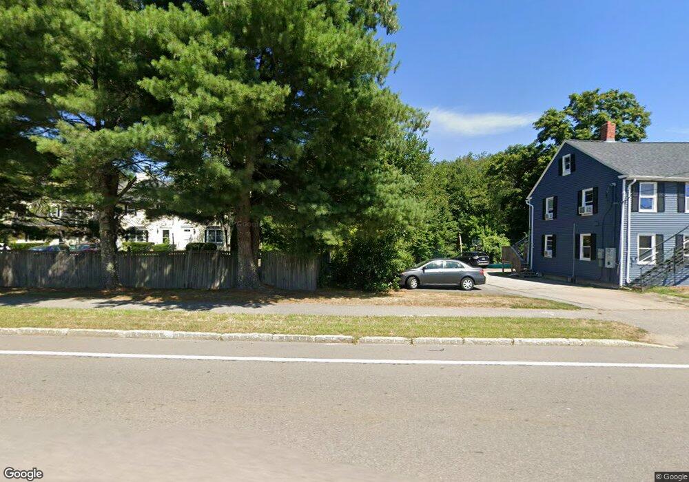
85 W Main St Unit 5 Norton, MA 02766
Estimated Value: $350,000 - $482,000
2
Beds
2
Baths
1,276
Sq Ft
$308/Sq Ft
Est. Value
About This Home
This home is located at 85 W Main St Unit 5, Norton, MA 02766 and is currently estimated at $392,547, approximately $307 per square foot. 85 W Main St Unit 5 is a home located in Bristol County with nearby schools including J.C. Solmonese Elementary School, Henri A. Yelle Elementary School, and Norton Middle School.
Ownership History
Date
Name
Owned For
Owner Type
Purchase Details
Closed on
Apr 1, 1998
Sold by
Labonte Marc T and Labonte Christine M
Bought by
Couture Daniel A and Couture Lucille M
Current Estimated Value
Home Financials for this Owner
Home Financials are based on the most recent Mortgage that was taken out on this home.
Original Mortgage
$97,650
Interest Rate
6.89%
Mortgage Type
Purchase Money Mortgage
Create a Home Valuation Report for This Property
The Home Valuation Report is an in-depth analysis detailing your home's value as well as a comparison with similar homes in the area
Home Values in the Area
Average Home Value in this Area
Purchase History
| Date | Buyer | Sale Price | Title Company |
|---|---|---|---|
| Couture Daniel A | $100,000 | -- |
Source: Public Records
Mortgage History
| Date | Status | Borrower | Loan Amount |
|---|---|---|---|
| Open | Couture Daniel A | $70,000 | |
| Closed | Couture Daniel A | $97,650 |
Source: Public Records
Tax History
| Year | Tax Paid | Tax Assessment Tax Assessment Total Assessment is a certain percentage of the fair market value that is determined by local assessors to be the total taxable value of land and additions on the property. | Land | Improvement |
|---|---|---|---|---|
| 2025 | $36 | $277,800 | $0 | $277,800 |
| 2024 | $3,494 | $269,800 | $0 | $269,800 |
| 2023 | $3,168 | $243,900 | $0 | $243,900 |
| 2022 | $3,244 | $227,500 | $0 | $227,500 |
| 2021 | $3,149 | $210,900 | $0 | $210,900 |
| 2020 | $3,222 | $217,700 | $0 | $217,700 |
| 2019 | $3,107 | $208,500 | $0 | $208,500 |
| 2018 | $3,055 | $201,500 | $0 | $201,500 |
| 2017 | $2,923 | $190,200 | $0 | $190,200 |
| 2016 | $2,946 | $188,700 | $0 | $188,700 |
| 2015 | $2,849 | $185,100 | $0 | $185,100 |
| 2014 | $2,765 | $179,900 | $0 | $179,900 |
Source: Public Records
Map
Nearby Homes
- 83 W Main St
- 5 Robin Cir Unit 5
- 26 Barrows Ct
- 20 Lloyd Cir Unit 32
- 14 Lloyd Cir Unit 29
- 93 Mansfield Ave
- 178 S Worcester St
- 170 S Worcester St Unit 3
- 8 Country Cir
- 2 Edgewater Dr Unit 2
- 90 Pine St
- 1 Heritage Rd Unit 1
- 3 Heritage Rd Unit 3
- 108 S Worcester St
- 157 Mansfield Ave Unit 27
- 157 Mansfield Ave Unit 14
- 101 Godfrey Dr Unit 101
- 126 Pine St Unit 1
- 343 Godfrey Dr
- 29 Germain Way Unit 3
- 85 W Main St Unit 6
- 85 W Main St Unit 4
- 85 W Main St Unit 3
- 85 W Main St Unit 2
- 85 W Main St Unit 1
- 85 W Main St Unit 2 85
- 85 W Main St Unit 6-85
- 83 W Main St Unit 1
- 91 W Main St Unit 6
- 91 W Main St Unit 5
- 91 W Main St Unit 4
- 91 W Main St Unit 3
- 91 W Main St Unit 2
- 91 W Main St Unit 1
- 90 W Main St
- 79 W Main St
- 88 W Main St
- 88 W Main St Unit 10
- 88 W Main St Unit 1
- 86 W Main St
Your Personal Tour Guide
Ask me questions while you tour the home.