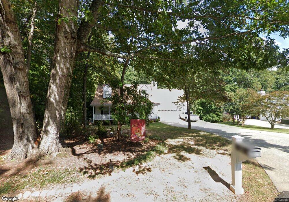
85 Welch Dr Dahlonega, GA 30533
Estimated Value: $362,000 - $461,000
--
Bed
2
Baths
1,428
Sq Ft
$277/Sq Ft
Est. Value
About This Home
This home is located at 85 Welch Dr, Dahlonega, GA 30533 and is currently estimated at $395,475, approximately $276 per square foot. 85 Welch Dr is a home located in Lumpkin County with nearby schools including Clay County Middle School and Lumpkin County High School.
Ownership History
Date
Name
Owned For
Owner Type
Purchase Details
Closed on
Jan 6, 2006
Sold by
Not Provided
Bought by
Brown George G and Sharron Plant
Current Estimated Value
Home Financials for this Owner
Home Financials are based on the most recent Mortgage that was taken out on this home.
Original Mortgage
$89,900
Outstanding Balance
$50,381
Interest Rate
6.22%
Mortgage Type
New Conventional
Estimated Equity
$345,094
Purchase Details
Closed on
Mar 24, 2000
Sold by
Peters Helene
Bought by
Peters Helene and Peters Glen
Purchase Details
Closed on
Feb 22, 2000
Sold by
Krasinski Brendan G
Bought by
Peters Helene
Purchase Details
Closed on
Feb 25, 1999
Sold by
Self & Self General
Bought by
Krasinski Brendan G
Purchase Details
Closed on
Jun 2, 1998
Bought by
Self & Self General
Create a Home Valuation Report for This Property
The Home Valuation Report is an in-depth analysis detailing your home's value as well as a comparison with similar homes in the area
Home Values in the Area
Average Home Value in this Area
Purchase History
| Date | Buyer | Sale Price | Title Company |
|---|---|---|---|
| Brown George G | $189,900 | -- | |
| Peters Helene | -- | -- | |
| Peters Helene | $154,000 | -- | |
| Krasinski Brendan G | $134,700 | -- | |
| Self & Self General | $90,000 | -- |
Source: Public Records
Mortgage History
| Date | Status | Borrower | Loan Amount |
|---|---|---|---|
| Open | Brown George G | $89,900 |
Source: Public Records
Tax History Compared to Growth
Tax History
| Year | Tax Paid | Tax Assessment Tax Assessment Total Assessment is a certain percentage of the fair market value that is determined by local assessors to be the total taxable value of land and additions on the property. | Land | Improvement |
|---|---|---|---|---|
| 2024 | $323 | $113,327 | $12,576 | $100,751 |
| 2023 | $332 | $107,167 | $12,576 | $94,591 |
| 2022 | $434 | $93,070 | $12,576 | $80,494 |
| 2021 | $270 | $81,263 | $12,576 | $68,687 |
| 2020 | $253 | $79,647 | $12,576 | $67,071 |
| 2019 | $256 | $79,647 | $12,576 | $67,071 |
| 2018 | $125 | $71,769 | $12,576 | $59,193 |
| 2017 | $89 | $69,794 | $12,576 | $57,218 |
| 2016 | $38 | $65,550 | $12,576 | $52,974 |
| 2015 | $29 | $65,550 | $12,576 | $52,974 |
| 2014 | $29 | $66,188 | $12,576 | $53,612 |
| 2013 | -- | $66,826 | $12,576 | $54,250 |
Source: Public Records
Map
Nearby Homes
- 94 Mountain View Dr
- 399 N Chestatee St
- 490 N Hall Rd
- 95 Jones St
- 22 Honeysuckle Ln
- 315 Church St
- 0 Highway 19 N Unit 10594984
- 168 W Main St
- 0 S Chestatee St Unit 10619536
- 502 Wimpy Mill Rd
- 97 Beaumont Dr
- 1392 S Chestatee St
- 253 Blair Ridge Rd
- 120 Riley Rd
- 329 Morrison Moore Pkwy E
- 6480A Highway 52
- 0 Dawsonville Hwy Unit 10631159
- 00 Dawsonville Hwy
- LOT 6 Sky Country Rd
- 159 Misty Way