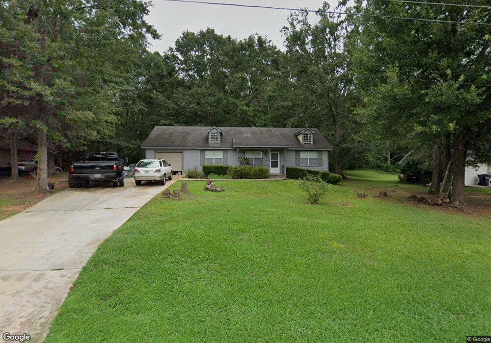
85 Woodcrest Dr Covington, GA 30016
Estimated Value: $202,676 - $241,000
--
Bed
2
Baths
1,183
Sq Ft
$187/Sq Ft
Est. Value
About This Home
This home is located at 85 Woodcrest Dr, Covington, GA 30016 and is currently estimated at $221,169, approximately $186 per square foot. 85 Woodcrest Dr is a home located in Newton County with nearby schools including South Salem Elementary School, Liberty Middle School, and Alcovy High School.
Ownership History
Date
Name
Owned For
Owner Type
Purchase Details
Closed on
Sep 8, 1999
Sold by
Bullock Paulette D
Bought by
Brown Andrew J and Brown Carolyn S
Current Estimated Value
Home Financials for this Owner
Home Financials are based on the most recent Mortgage that was taken out on this home.
Original Mortgage
$82,519
Outstanding Balance
$24,596
Interest Rate
7.89%
Mortgage Type
FHA
Estimated Equity
$196,573
Create a Home Valuation Report for This Property
The Home Valuation Report is an in-depth analysis detailing your home's value as well as a comparison with similar homes in the area
Home Values in the Area
Average Home Value in this Area
Purchase History
| Date | Buyer | Sale Price | Title Company |
|---|---|---|---|
| Brown Andrew J | $83,000 | -- |
Source: Public Records
Mortgage History
| Date | Status | Borrower | Loan Amount |
|---|---|---|---|
| Open | Brown Andrew J | $82,519 |
Source: Public Records
Tax History Compared to Growth
Tax History
| Year | Tax Paid | Tax Assessment Tax Assessment Total Assessment is a certain percentage of the fair market value that is determined by local assessors to be the total taxable value of land and additions on the property. | Land | Improvement |
|---|---|---|---|---|
| 2024 | $1,767 | $73,600 | $14,800 | $58,800 |
| 2023 | $1,851 | $72,080 | $9,200 | $62,880 |
| 2022 | $1,463 | $57,800 | $9,200 | $48,600 |
| 2021 | $1,304 | $46,880 | $8,000 | $38,880 |
| 2020 | $1,198 | $39,560 | $8,000 | $31,560 |
| 2019 | $1,158 | $37,840 | $8,000 | $29,840 |
| 2018 | $984 | $32,560 | $4,400 | $28,160 |
| 2017 | $785 | $26,760 | $4,400 | $22,360 |
| 2016 | $779 | $26,600 | $4,000 | $22,600 |
| 2015 | $701 | $24,320 | $3,200 | $21,120 |
| 2014 | $700 | $24,320 | $0 | $0 |
Source: Public Records
Map
Nearby Homes
- 135 Woodcrest Dr
- 25 Woodcrest Dr
- 70 Countryside Ln
- 205 Woodcrest Dr
- 265 Lazy Hollow Ln
- 255 Countryside Ln
- 145 Mill Chase
- 800 Mills Dr
- 115 Branchwood Dr
- 115 Cross Creek Dr
- 40 Lakeside Trail
- 445 Brickstone Way
- 410 Brickstone Way
- 134 St Annes Place
- 149 St Annes Place
- 145 St Annes Place
- 128 St Annes Place
- 139 Saint Anne's Place
- 155 St Annes Place
- 95 Woodcrest Dr
- 75 Woodcrest Dr
- 65 Woodcrest Dr
- 105 Woodcrest Dr
- 400 Cowan Rd
- 390 Cowan Rd
- 410 Cowan Rd
- 55 Woodcrest Dr
- 80 Woodcrest Dr
- 380 Cowan Rd
- 90 Woodcrest Dr
- 115 Woodcrest Dr
- 100 Woodcrest Dr
- 70 Woodcrest Dr
- 70 Woodcrest Dr Unit 71
- 370 Cowan Rd
- 0 Woodcrest Dr Unit 8664745
- 0 Woodcrest Dr Unit 8778638
- 0 Woodcrest Dr Unit 7324158
- 0 Woodcrest Dr Unit 7216315