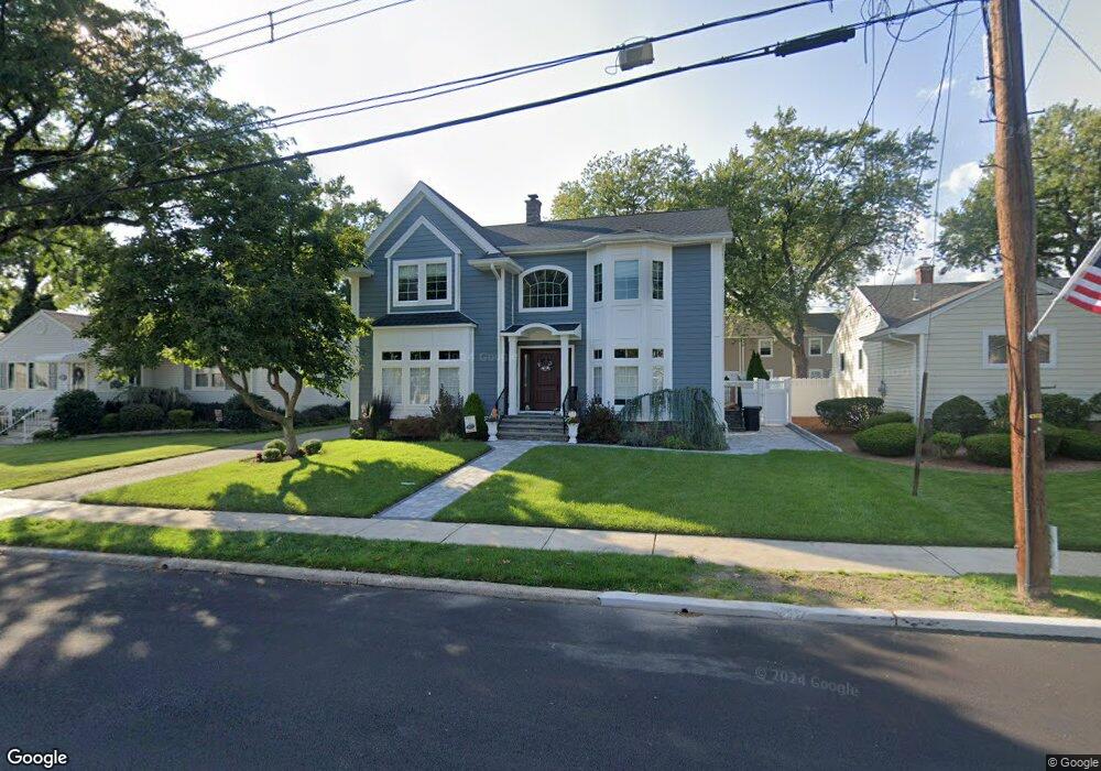
85 Woodside Ave Hasbrouck Heights, NJ 07604
Estimated Value: $610,000 - $1,006,000
--
Bed
--
Bath
2,440
Sq Ft
$338/Sq Ft
Est. Value
About This Home
This home is located at 85 Woodside Ave, Hasbrouck Heights, NJ 07604 and is currently estimated at $824,279, approximately $337 per square foot. 85 Woodside Ave is a home located in Bergen County with nearby schools including Hasbrouck Heights High School and Corpus Christi School.
Ownership History
Date
Name
Owned For
Owner Type
Purchase Details
Closed on
May 18, 2009
Sold by
Bornstein Kathleen and Mongan Michael
Bought by
Fiduccia Matthew and Wich Lisa M
Current Estimated Value
Purchase Details
Closed on
Jul 7, 2000
Sold by
Signorile Theresa
Bought by
Mongan Joseph and Mongan Barbara
Home Financials for this Owner
Home Financials are based on the most recent Mortgage that was taken out on this home.
Original Mortgage
$101,500
Interest Rate
8.5%
Create a Home Valuation Report for This Property
The Home Valuation Report is an in-depth analysis detailing your home's value as well as a comparison with similar homes in the area
Home Values in the Area
Average Home Value in this Area
Purchase History
| Date | Buyer | Sale Price | Title Company |
|---|---|---|---|
| Fiduccia Matthew | $300,000 | -- | |
| Mongan Joseph | $221,500 | -- |
Source: Public Records
Mortgage History
| Date | Status | Borrower | Loan Amount |
|---|---|---|---|
| Previous Owner | Mongan Joseph | $101,500 |
Source: Public Records
Tax History Compared to Growth
Tax History
| Year | Tax Paid | Tax Assessment Tax Assessment Total Assessment is a certain percentage of the fair market value that is determined by local assessors to be the total taxable value of land and additions on the property. | Land | Improvement |
|---|---|---|---|---|
| 2025 | $17,121 | $670,100 | $224,500 | $445,600 |
| 2024 | $16,727 | $670,100 | $224,500 | $445,600 |
| 2023 | $16,680 | $649,100 | $220,500 | $428,600 |
| 2022 | $16,680 | $619,600 | $213,000 | $406,600 |
| 2021 | $16,167 | $572,500 | $200,500 | $372,000 |
| 2020 | $10,791 | $375,200 | $190,500 | $184,700 |
| 2019 | $8,689 | $305,400 | $188,000 | $117,400 |
| 2018 | $8,499 | $298,000 | $183,000 | $115,000 |
| 2017 | $8,368 | $293,000 | $180,500 | $112,500 |
| 2016 | $8,371 | $275,800 | $170,500 | $105,300 |
| 2015 | $8,235 | $275,800 | $170,500 | $105,300 |
| 2014 | $8,009 | $275,800 | $170,500 | $105,300 |
Source: Public Records
Map
Nearby Homes
- 35 Franklin Ave
- 14 Jefferson Ave Unit 16
- 30 Woodside Ave
- 95 Mckinley Ave
- 74 Kipp Ave
- 2 Passaic Ave
- 66 Terhune Ave Unit 14
- 38 Springfield Ave
- 77 Chestnut St
- 25 Roosevelt Dr
- 27 Roosevelt Dr
- 117 Central Ave Unit A
- 117 Central Ave
- 129 Eisenhower Ln Unit 2109
- 43 Wesmont Dr Unit 1712
- 208 Jefferson Ave
- 73 Wesmont Dr Unit 1811
- 144 S Main St
- 34 Lasalle Ave
- 8800 Boulevard Unit 5F