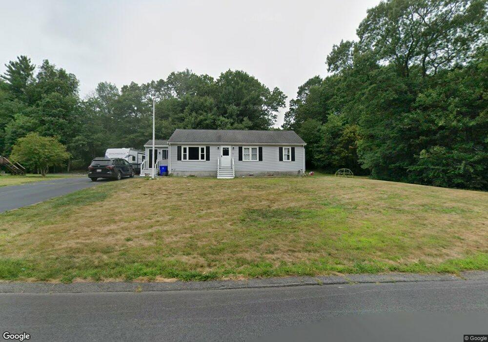
85 Wren St East Taunton, MA 02718
East Taunton NeighborhoodEstimated Value: $511,000 - $544,000
3
Beds
2
Baths
1,232
Sq Ft
$426/Sq Ft
Est. Value
About This Home
This home is located at 85 Wren St, East Taunton, MA 02718 and is currently estimated at $525,435, approximately $426 per square foot. 85 Wren St is a home located in Bristol County with nearby schools including East Taunton Elementary School, Joseph H. Martin, and Taunton High School.
Ownership History
Date
Name
Owned For
Owner Type
Purchase Details
Closed on
Jul 19, 2021
Sold by
Brennan John D and Brennan Suzanne M
Bought by
Moran Brian and Moran Jennifer
Current Estimated Value
Purchase Details
Closed on
Mar 12, 2013
Sold by
Caltaldo Bonnie L
Bought by
Caltaldo Bonnie L and Cunha Richard F
Create a Home Valuation Report for This Property
The Home Valuation Report is an in-depth analysis detailing your home's value as well as a comparison with similar homes in the area
Home Values in the Area
Average Home Value in this Area
Purchase History
| Date | Buyer | Sale Price | Title Company |
|---|---|---|---|
| Moran Brian | $395,000 | None Available | |
| Caltaldo Bonnie L | -- | -- |
Source: Public Records
Tax History Compared to Growth
Tax History
| Year | Tax Paid | Tax Assessment Tax Assessment Total Assessment is a certain percentage of the fair market value that is determined by local assessors to be the total taxable value of land and additions on the property. | Land | Improvement |
|---|---|---|---|---|
| 2025 | $4,723 | $431,700 | $140,700 | $291,000 |
| 2024 | $4,524 | $404,300 | $140,700 | $263,600 |
| 2023 | $4,361 | $361,900 | $134,300 | $227,600 |
| 2022 | $4,299 | $326,200 | $122,600 | $203,600 |
| 2021 | $4,084 | $287,600 | $111,400 | $176,200 |
| 2020 | $4,070 | $273,900 | $111,400 | $162,500 |
| 2019 | $4,128 | $261,900 | $111,400 | $150,500 |
| 2018 | $3,823 | $245,700 | $112,500 | $133,200 |
| 2017 | $3,717 | $236,600 | $106,700 | $129,900 |
| 2016 | $3,584 | $228,600 | $103,600 | $125,000 |
| 2015 | $3,491 | $232,600 | $106,100 | $126,500 |
| 2014 | $3,349 | $229,200 | $106,100 | $123,100 |
Source: Public Records
Map
Nearby Homes
- 79 Liberty St
- 203 Bluejay Ln
- 526 Caswell St
- 51 Swan Dr
- 8 Powhattan Dr
- 649 Middleboro Ave
- 96 Old Colony Ave Unit 264
- 125R Middleboro Ave
- 96 Old Colony Ave Unit 319
- 96 Old Colony Ave Unit 227
- 96 Old Colony Ave Unit 153
- 96 Old Colony Ave Unit 313
- 95 Meeshawn Ave
- 482 Staples St
- 6 Bear Paw Trail
- 218R Hart St Unit B
- 218R Hart St Unit A
- 15 Carlton St
- 53 Cheshire Dr
- 147 Colonial Dr
- 99 Wren St
- 71 Wren St
- 146 Hummingbird Ln
- 111 Wren St
- 130 Hummingbird Ln
- 156 Hummingbird Ln
- 59 Wren St
- 67 Blackbird Ln
- 116 Hummingbird Ln
- 170 Hummingbird Ln
- 54 Wren St
- 125 Wren St
- 59 Blackbird Ln
- 41 Wren St
- 100 Hummingbird Ln
- 135 Hummingbird Ln
- 44 Wren St
- 180 Hummingbird Ln
- 151 Hummingbird Ln
- 22 Mockingbird Way