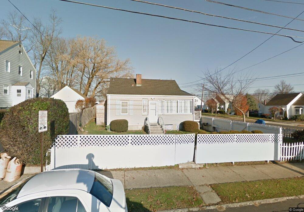
850 Birmingham St Bridgeport, CT 06606
North End NeighborhoodEstimated Value: $409,000 - $437,000
4
Beds
2
Baths
1,320
Sq Ft
$322/Sq Ft
Est. Value
About This Home
This home is located at 850 Birmingham St, Bridgeport, CT 06606 and is currently estimated at $425,439, approximately $322 per square foot. 850 Birmingham St is a home located in Fairfield County with nearby schools including Blackham School, Central High School, and The Unquowa School.
Ownership History
Date
Name
Owned For
Owner Type
Purchase Details
Closed on
Aug 8, 2011
Sold by
Rendon Luz A
Bought by
Rendon Luz A
Current Estimated Value
Purchase Details
Closed on
Apr 29, 2002
Sold by
Turiano Joseph J and Turiano Laura M
Bought by
Rendon Luz A and Rendon Lida R
Home Financials for this Owner
Home Financials are based on the most recent Mortgage that was taken out on this home.
Original Mortgage
$121,250
Interest Rate
7.05%
Purchase Details
Closed on
Jul 22, 1996
Sold by
Desrosiers William A and Desrosiers Marie E
Bought by
Gates Laura M and Turiano Joseph J
Home Financials for this Owner
Home Financials are based on the most recent Mortgage that was taken out on this home.
Original Mortgage
$65,400
Interest Rate
8.28%
Mortgage Type
Unknown
Create a Home Valuation Report for This Property
The Home Valuation Report is an in-depth analysis detailing your home's value as well as a comparison with similar homes in the area
Home Values in the Area
Average Home Value in this Area
Purchase History
| Date | Buyer | Sale Price | Title Company |
|---|---|---|---|
| Rendon Luz A | -- | -- | |
| Rendon Luz A | -- | -- | |
| Rendon Luz A | $125,000 | -- | |
| Rendon Luz A | $125,000 | -- | |
| Gates Laura M | $74,000 | -- | |
| Gates Laura M | $74,000 | -- |
Source: Public Records
Mortgage History
| Date | Status | Borrower | Loan Amount |
|---|---|---|---|
| Previous Owner | Gates Laura M | $121,250 | |
| Previous Owner | Gates Laura M | $65,400 |
Source: Public Records
Tax History Compared to Growth
Tax History
| Year | Tax Paid | Tax Assessment Tax Assessment Total Assessment is a certain percentage of the fair market value that is determined by local assessors to be the total taxable value of land and additions on the property. | Land | Improvement |
|---|---|---|---|---|
| 2025 | $6,859 | $157,854 | $68,334 | $89,520 |
| 2024 | $6,859 | $157,854 | $68,334 | $89,520 |
| 2023 | $6,859 | $157,854 | $68,334 | $89,520 |
| 2022 | $6,859 | $157,854 | $68,334 | $89,520 |
| 2021 | $6,859 | $157,854 | $68,334 | $89,520 |
| 2020 | $5,771 | $106,890 | $35,680 | $71,210 |
| 2019 | $5,771 | $106,890 | $35,680 | $71,210 |
| 2018 | $5,812 | $106,890 | $35,680 | $71,210 |
| 2017 | $5,812 | $106,890 | $35,680 | $71,210 |
| 2016 | $5,812 | $106,890 | $35,680 | $71,210 |
| 2015 | $5,770 | $136,730 | $43,160 | $93,570 |
| 2014 | $5,770 | $136,730 | $43,160 | $93,570 |
Source: Public Records
Map
Nearby Homes
- 783 Clark St
- 720 Queen St
- 605 Merritt St
- 932 Thorme St
- 2346 Madison Ave
- 3450 Park Ave
- 3430 Park Ave
- 604 Birmingham St
- 129 Ashton St
- 3200 Park Ave Unit 11C2
- 3200 Park Ave Unit 11E2
- 375 Ruth St
- 69 Plankton St
- 226 Alberta St
- 38 Enid St Unit B
- 520 Savoy St
- 681 Westfield Ave
- 81 Ameridge Dr
- 161 Brion Dr
- 495 Peet St
- 860 Birmingham St
- 2165 Madison Ave
- 908 Birmingham St
- 2146 Madison Ave
- 857 Birmingham St
- 2124 Madison Ave
- 2100 Madison Ave
- 867 Birmingham St
- 2105 Madison Ave
- 907 Birmingham St
- 789 Burnsford Ave
- 912 Birmingham St
- 756 Clark St
- 909 Birmingham St
- 800 Birmingham St
- 799 Burnsford Ave
- 705 Burnsford Ave
- 2090 Madison Ave Unit 2092
- 2090 Madison Ave Unit 2
- 760 Clark St