850 Fulton Ave Lansdale, PA 19446
Upper Gwynedd Township NeighborhoodEstimated Value: $928,584 - $999,000
4
Beds
4
Baths
4,042
Sq Ft
$237/Sq Ft
Est. Value
About This Home
This home is located at 850 Fulton Ave, Lansdale, PA 19446 and is currently estimated at $959,396, approximately $237 per square foot. 850 Fulton Ave is a home located in Montgomery County with nearby schools including Gwynedd Square Elementary School, Penndale Middle School, and North Penn Senior High School.
Ownership History
Date
Name
Owned For
Owner Type
Purchase Details
Closed on
Nov 19, 2003
Sold by
Grallnick Richard L
Bought by
Momtahen Homayun and Sokhanvari Farnaz
Current Estimated Value
Home Financials for this Owner
Home Financials are based on the most recent Mortgage that was taken out on this home.
Original Mortgage
$360,000
Interest Rate
6.01%
Purchase Details
Closed on
Aug 25, 2003
Sold by
Grallnick Richard L and Grallnick Rhonda G
Bought by
Grallnick Richard L
Purchase Details
Closed on
Nov 21, 1994
Sold by
Charter Oaks Joint Venture
Bought by
Grallnick Richard L and Grallnick Rhonda G
Create a Home Valuation Report for This Property
The Home Valuation Report is an in-depth analysis detailing your home's value as well as a comparison with similar homes in the area
Home Values in the Area
Average Home Value in this Area
Purchase History
| Date | Buyer | Sale Price | Title Company |
|---|---|---|---|
| Momtahen Homayun | $450,000 | -- | |
| Grallnick Richard L | -- | -- | |
| Grallnick Richard L | $290,000 | -- |
Source: Public Records
Mortgage History
| Date | Status | Borrower | Loan Amount |
|---|---|---|---|
| Previous Owner | Momtahen Homayun | $360,000 |
Source: Public Records
Tax History Compared to Growth
Tax History
| Year | Tax Paid | Tax Assessment Tax Assessment Total Assessment is a certain percentage of the fair market value that is determined by local assessors to be the total taxable value of land and additions on the property. | Land | Improvement |
|---|---|---|---|---|
| 2025 | $10,469 | $285,370 | -- | -- |
| 2024 | $10,469 | $285,370 | -- | -- |
| 2023 | $9,980 | $285,370 | $0 | $0 |
| 2022 | $9,624 | $285,370 | $0 | $0 |
| 2021 | $9,371 | $285,370 | $0 | $0 |
| 2020 | $9,128 | $285,370 | $0 | $0 |
| 2019 | $8,960 | $285,370 | $0 | $0 |
| 2018 | $8,960 | $285,370 | $0 | $0 |
| 2017 | $8,584 | $285,370 | $0 | $0 |
| 2016 | $8,472 | $285,370 | $0 | $0 |
| 2015 | $8,088 | $285,370 | $0 | $0 |
| 2014 | $8,088 | $275,370 | $86,220 | $189,150 |
Source: Public Records
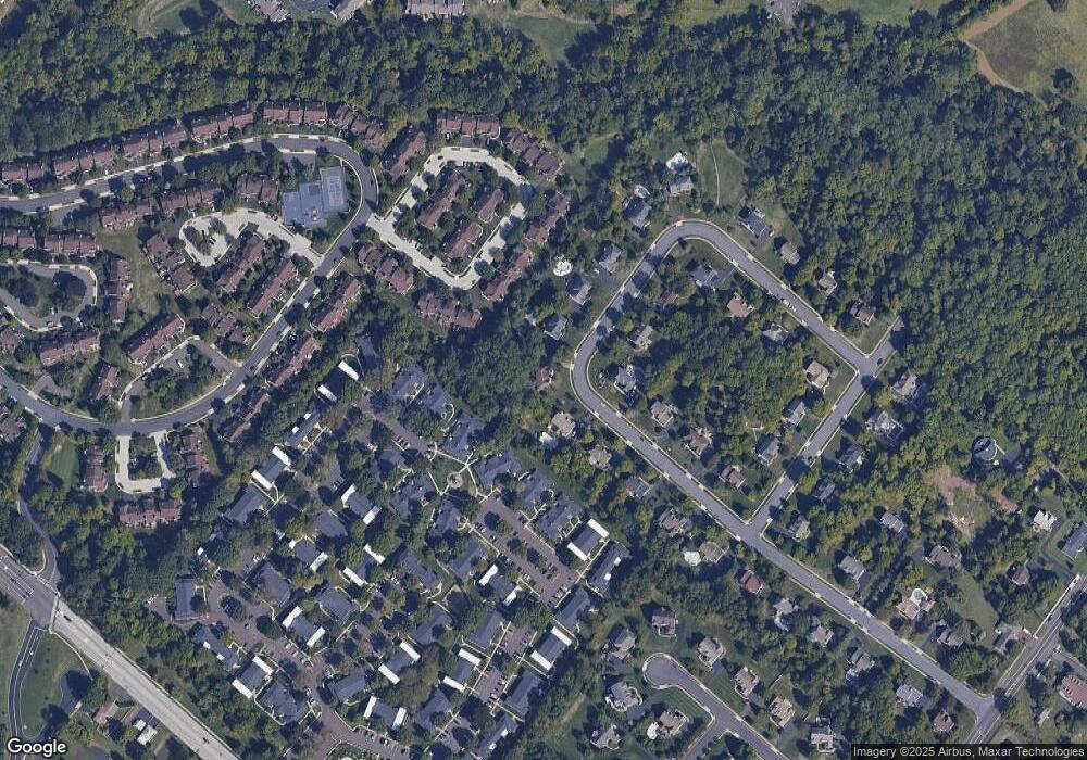
Map
Nearby Homes
- 846 Fulton Ave
- 1622 Samantha Ct
- 1255 Scobee Dr
- 818 Green St
- 1107 Jarvis Ln
- 10 Wheatley Walk
- 168 Eric Ln
- 108 Hickory Ct
- 1627 Clearbrook Rd
- 180 Providence Ln
- 134 State St
- 209 Providence Ln
- 980 Jacks Ln
- 750 Annes Ct
- 210 Berwick Place Unit 20E
- 177 Oberlin Terrace Unit 18-L
- 144 Oberlin Terrace Unit 15-B
- 719 N Sumneytown Pike Unit 4
- 160 Church Rd
- 172 Oberlin Terrace
- 854 Fulton Ave
- 847 Fulton Ave
- 842 Fulton Ave
- 1273 Browning Ct
- 858 Fulton Ave
- 1269 Browning Ct
- 857 Fulton Ave
- 1275 Browning Ct
- 1267 Browning Ct
- 1265 Browning Ct
- 1277 Browning Ct
- 1263 Browning Ct
- 1261 Browning Ct
- 839 Fulton Ave
- 1279 Browning Ct
- 1259 Browning Ct
- 1281 Browning Ct
- 838 Fulton Ave
- 862 Fulton Ave
- 861 Fulton Ave