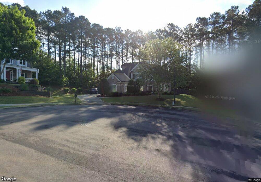
850 Highcrest Dr Acworth, GA 30101
Cedarcrest NeighborhoodEstimated Value: $564,023 - $635,000
4
Beds
4
Baths
2,875
Sq Ft
$205/Sq Ft
Est. Value
About This Home
This home is located at 850 Highcrest Dr, Acworth, GA 30101 and is currently estimated at $588,756, approximately $204 per square foot. 850 Highcrest Dr is a home located in Paulding County with nearby schools including Floyd L. Shelton Elementary School at Crossroad, Sammy Mcclure Sr. Middle School, and North Paulding High School.
Ownership History
Date
Name
Owned For
Owner Type
Purchase Details
Closed on
Aug 4, 2006
Sold by
Busch Bryan E and Busch Bridget C
Bought by
Browning Robert and Browning Susan L
Current Estimated Value
Purchase Details
Closed on
Jan 20, 2004
Sold by
Sharp Residential Builders & Dev
Bought by
Busch Bryan E and Busch Bridget
Home Financials for this Owner
Home Financials are based on the most recent Mortgage that was taken out on this home.
Original Mortgage
$31,350
Interest Rate
5.77%
Mortgage Type
New Conventional
Purchase Details
Closed on
Sep 10, 2003
Sold by
Temco Associates
Create a Home Valuation Report for This Property
The Home Valuation Report is an in-depth analysis detailing your home's value as well as a comparison with similar homes in the area
Home Values in the Area
Average Home Value in this Area
Purchase History
| Date | Buyer | Sale Price | Title Company |
|---|---|---|---|
| Browning Robert | $347,000 | -- | |
| Busch Bryan E | $313,900 | -- | |
| -- | $313,900 | -- | |
| -- | $59,500 | -- |
Source: Public Records
Mortgage History
| Date | Status | Borrower | Loan Amount |
|---|---|---|---|
| Previous Owner | -- | $31,350 | |
| Previous Owner | -- | $251,100 |
Source: Public Records
Tax History
| Year | Tax Paid | Tax Assessment Tax Assessment Total Assessment is a certain percentage of the fair market value that is determined by local assessors to be the total taxable value of land and additions on the property. | Land | Improvement |
|---|---|---|---|---|
| 2025 | $1,324 | $234,536 | $26,000 | $208,536 |
| 2024 | $1,288 | $187,444 | $26,000 | $161,444 |
| 2023 | $1,549 | $192,208 | $26,000 | $166,208 |
| 2022 | $1,374 | $169,104 | $26,000 | $143,104 |
| 2021 | $1,432 | $142,912 | $26,000 | $116,912 |
| 2020 | $1,404 | $132,216 | $26,000 | $106,216 |
| 2019 | $1,387 | $125,932 | $26,000 | $99,932 |
| 2018 | $1,424 | $130,584 | $26,000 | $104,584 |
| 2017 | $1,419 | $125,584 | $34,000 | $91,584 |
| 2016 | $1,278 | $116,552 | $34,000 | $82,552 |
| 2015 | $1,322 | $115,588 | $34,000 | $81,588 |
| 2014 | $1,286 | $106,208 | $34,000 | $72,208 |
| 2013 | -- | $110,920 | $34,000 | $76,920 |
Source: Public Records
Map
Nearby Homes
- 788 Highcrest Dr
- 341 Carl Sanders Dr
- 583 Carl Sanders Dr
- 210 Carl Sanders Dr
- 123 Candler Loop
- 1022 Carl Sanders Dr
- 260 Carl Sanders Dr
- 1066 Carl Sanders Dr
- 1276 Rutledge Rd
- 0 Rutledge Rd Unit 10703357
- 0 Rutledge Rd Unit 7729014
- 4559 Oglethorpe Loop NW
- 954 Carl Sanders Dr
- 6335 Howell Cobb Ct
- 1128L Rutledge Rd
- 138 Highcrest Dr
- 128 Highcrest Dr
- 6218 Zell Miller Path NW
- 6225 Arnall Ct NW
- 254 Broadstone Blvd
- 852 Highcrest Dr
- 828 Highcrest Dr
- 390 Carl Sanders Dr
- 416 Carl Sanders Dr
- 816 Highcrest Dr
- 847 Highcrest Dr
- 831 Highcrest Dr
- 817 Highcrest Dr
- 368 Carl Sanders Dr
- 438 Carl Sanders Dr
- 11 Manorside Way
- 395 Carl Sanders Dr
- 768 Highcrest Dr
- 435 Carl Sanders Dr
- 28 Manorside Way
- 758 Highcrest Dr
- 30 Gilmer Way
- 34 Manorside Way
- 31 Manorside Way
- 473 Carl Sanders Dr
Your Personal Tour Guide
Ask me questions while you tour the home.