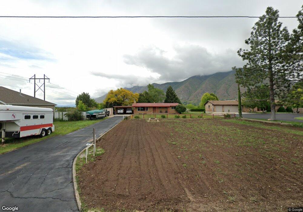
850 W 2000 N Mapleton, UT 84664
Estimated Value: $511,000 - $596,009
3
Beds
2
Baths
2,070
Sq Ft
$270/Sq Ft
Est. Value
About This Home
This home is located at 850 W 2000 N, Mapleton, UT 84664 and is currently estimated at $558,003, approximately $269 per square foot. 850 W 2000 N is a home located in Utah County with nearby schools including Mapleton School, Mapleton Junior High School, and Maple Mountain High School.
Ownership History
Date
Name
Owned For
Owner Type
Purchase Details
Closed on
Nov 22, 2017
Sold by
Taylor Rebecca Jane and Taylor Family Trust
Bought by
Oakey Steven
Current Estimated Value
Home Financials for this Owner
Home Financials are based on the most recent Mortgage that was taken out on this home.
Original Mortgage
$237,500
Outstanding Balance
$199,485
Interest Rate
3.94%
Mortgage Type
New Conventional
Estimated Equity
$358,518
Purchase Details
Closed on
Jun 1, 1998
Sold by
Taylor Frank A and Taylor Phyllis C
Bought by
Taylor Frank A and Taylor Phyllis L
Create a Home Valuation Report for This Property
The Home Valuation Report is an in-depth analysis detailing your home's value as well as a comparison with similar homes in the area
Home Values in the Area
Average Home Value in this Area
Purchase History
| Date | Buyer | Sale Price | Title Company |
|---|---|---|---|
| Oakey Steven | -- | Access Title Co | |
| Taylor Frank A | -- | -- |
Source: Public Records
Mortgage History
| Date | Status | Borrower | Loan Amount |
|---|---|---|---|
| Open | Oakey Steven | $237,500 |
Source: Public Records
Tax History
| Year | Tax Paid | Tax Assessment Tax Assessment Total Assessment is a certain percentage of the fair market value that is determined by local assessors to be the total taxable value of land and additions on the property. | Land | Improvement |
|---|---|---|---|---|
| 2025 | $2,620 | $269,115 | -- | -- |
| 2024 | $2,620 | $256,630 | $0 | $0 |
| 2023 | $2,706 | $266,750 | $0 | $0 |
| 2022 | $2,843 | $277,145 | $0 | $0 |
| 2021 | $2,294 | $343,300 | $192,000 | $151,300 |
| 2020 | $2,219 | $321,200 | $169,900 | $151,300 |
| 2019 | $1,994 | $294,600 | $163,000 | $131,600 |
| 2018 | $1,756 | $247,000 | $137,300 | $109,700 |
| 2017 | $1,732 | $129,305 | $0 | $0 |
| 2016 | $1,576 | $116,930 | $0 | $0 |
| 2015 | $1,489 | $109,835 | $0 | $0 |
| 2014 | $483 | $100,870 | $0 | $0 |
Source: Public Records
Map
Nearby Homes
- 1206 E 1150 S
- 1121 W 1800 N
- 949 S 1060 E
- 1195 W 1600 N
- 1518 E Pheasant Run Dr
- 1330 N 800 W
- 405 W 1200 N Unit 4
- 487 W 1200 N Unit 1
- 883 E 700 S
- 1518 S 600 E
- 677 E 800 South St
- 1225 N 1380 W
- 1410 W 1200 N
- 557 S 1470 E
- 1884 Town And Country Rd
- 1350 N Main St
- 579 E 800 St S
- 629 E 800 St S
- 645 Swenson Ave Unit 5
- 645 Swenson Ave Unit 3
Your Personal Tour Guide
Ask me questions while you tour the home.