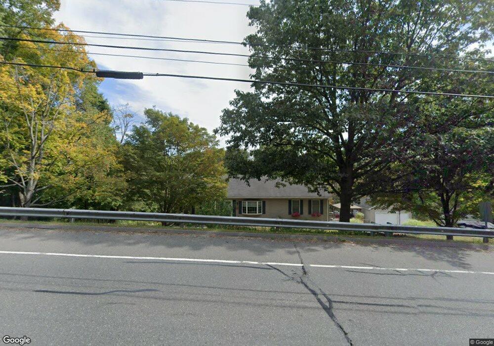
850 West St Ludlow, MA 01056
Estimated Value: $415,311 - $467,000
3
Beds
2
Baths
1,650
Sq Ft
$262/Sq Ft
Est. Value
About This Home
This home is located at 850 West St, Ludlow, MA 01056 and is currently estimated at $433,078, approximately $262 per square foot. 850 West St is a home located in Hampden County with nearby schools including East Street Elementary School, Chapin Street Elementary School, and Paul R. Baird Middle School.
Ownership History
Date
Name
Owned For
Owner Type
Purchase Details
Closed on
Nov 19, 2003
Sold by
Sarnelli Anthony J and Sarnelli Linda F
Bought by
Mazza Carol L and Mazza Kenneth M
Current Estimated Value
Home Financials for this Owner
Home Financials are based on the most recent Mortgage that was taken out on this home.
Original Mortgage
$130,000
Outstanding Balance
$60,185
Interest Rate
5.98%
Mortgage Type
Purchase Money Mortgage
Estimated Equity
$372,893
Create a Home Valuation Report for This Property
The Home Valuation Report is an in-depth analysis detailing your home's value as well as a comparison with similar homes in the area
Home Values in the Area
Average Home Value in this Area
Purchase History
| Date | Buyer | Sale Price | Title Company |
|---|---|---|---|
| Mazza Carol L | $188,000 | -- |
Source: Public Records
Mortgage History
| Date | Status | Borrower | Loan Amount |
|---|---|---|---|
| Open | Mazza Carol L | $130,000 |
Source: Public Records
Tax History Compared to Growth
Tax History
| Year | Tax Paid | Tax Assessment Tax Assessment Total Assessment is a certain percentage of the fair market value that is determined by local assessors to be the total taxable value of land and additions on the property. | Land | Improvement |
|---|---|---|---|---|
| 2025 | $6,584 | $379,500 | $50,000 | $329,500 |
| 2024 | $6,208 | $343,200 | $50,000 | $293,200 |
| 2023 | $5,898 | $302,300 | $41,500 | $260,800 |
| 2022 | $5,575 | $278,900 | $41,500 | $237,400 |
| 2021 | $5,517 | $261,700 | $41,500 | $220,200 |
| 2020 | $5,275 | $255,800 | $40,900 | $214,900 |
| 2019 | $4,927 | $248,600 | $40,500 | $208,100 |
| 2018 | $4,635 | $243,800 | $40,500 | $203,300 |
| 2017 | $4,549 | $245,500 | $41,300 | $204,200 |
| 2016 | $4,293 | $236,800 | $40,400 | $196,400 |
| 2015 | $4,022 | $232,600 | $40,000 | $192,600 |
Source: Public Records
Map
Nearby Homes
- Lot 9 Old St W
- Lot 6 Old St W
- Lot 7 Old St W
- 339 Chicopee St Unit Lot 7
- 337 Chicopee St Unit Lot 8
- 93 Carver St
- 80 R East St
- 0 Nash Hill Rd
- 519 Lyon St
- 334 Munsing St
- 42 East St
- 173 Colonial Dr
- Lot 2 Chicopee St
- '0' Rood St
- 5 Country View Ln
- 350 West St Unit 19
- 482 Holyoke St
- 436 Holyoke St
- 166 Kendall St
- 319 West St
- 838 West St
- 865 West St
- 855 West St
- 37 Old West St
- 875 West St
- 89 Old St W
- 801 West St
- 89 Old West St
- 52 Old West St Unit 54
- 38 Old West St Unit 40
- 38 Old West St
- 24 Old West St Unit 26
- 66 Old West St Unit 68
- 878 West St
- 80 Old West St Unit 82
- 6 Brook St
- 122 Old St W
- Lot 0 Brook & St W
- 0 Brook St Unit 71544868
- 0 Brook St Unit 71544850