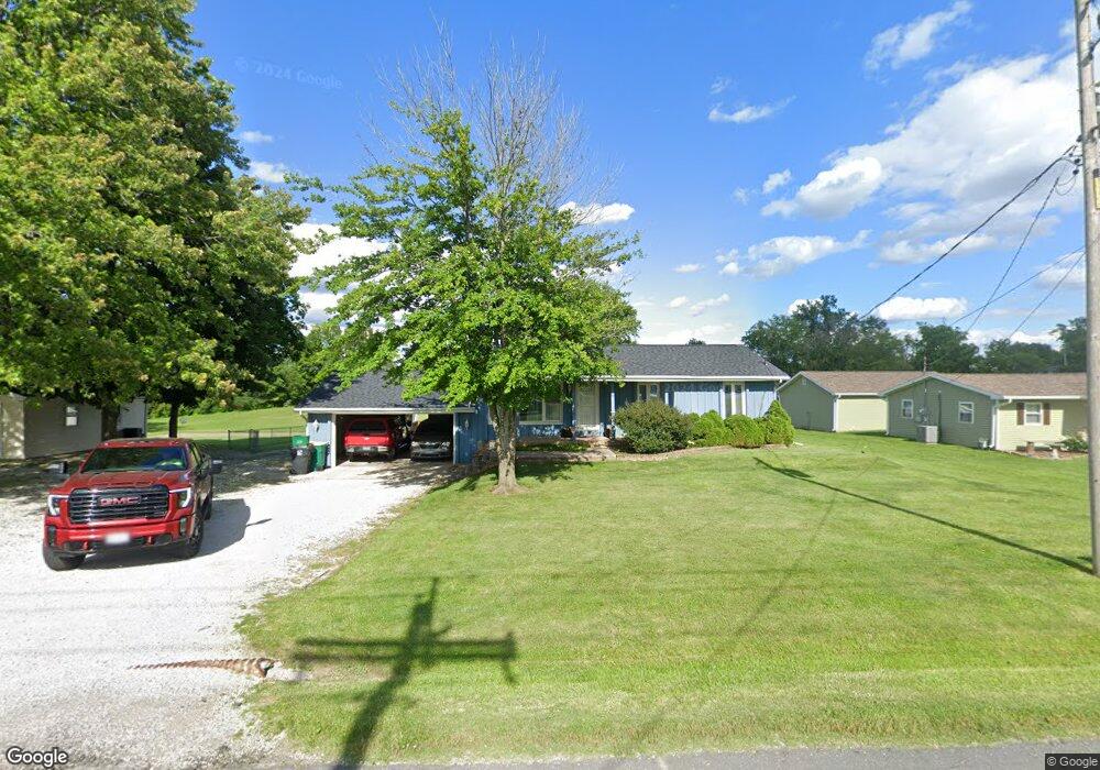
850 Westside Dr Mount Zion, IL 62549
Estimated Value: $188,164 - $253,000
3
Beds
3
Baths
1,752
Sq Ft
$126/Sq Ft
Est. Value
About This Home
This home is located at 850 Westside Dr, Mount Zion, IL 62549 and is currently estimated at $220,791, approximately $126 per square foot. 850 Westside Dr is a home located in Macon County with nearby schools including McGaughey Elementary School, Mt. Zion Elementary School, and Mt. Zion Intermediate School.
Ownership History
Date
Name
Owned For
Owner Type
Purchase Details
Closed on
May 23, 2013
Sold by
Keppler Thomas W and Keppler Melissa L
Bought by
Mccoy Kyle Lloyd
Current Estimated Value
Home Financials for this Owner
Home Financials are based on the most recent Mortgage that was taken out on this home.
Original Mortgage
$126,350
Outstanding Balance
$89,129
Interest Rate
3.38%
Mortgage Type
New Conventional
Estimated Equity
$131,662
Create a Home Valuation Report for This Property
The Home Valuation Report is an in-depth analysis detailing your home's value as well as a comparison with similar homes in the area
Home Values in the Area
Average Home Value in this Area
Purchase History
| Date | Buyer | Sale Price | Title Company |
|---|---|---|---|
| Mccoy Kyle Lloyd | $133,000 | Cnetral Illinois Title Co |
Source: Public Records
Mortgage History
| Date | Status | Borrower | Loan Amount |
|---|---|---|---|
| Open | Mccoy Kyle Lloyd | $126,350 |
Source: Public Records
Tax History Compared to Growth
Tax History
| Year | Tax Paid | Tax Assessment Tax Assessment Total Assessment is a certain percentage of the fair market value that is determined by local assessors to be the total taxable value of land and additions on the property. | Land | Improvement |
|---|---|---|---|---|
| 2024 | $3,354 | $48,970 | $6,050 | $42,920 |
| 2023 | $3,229 | $45,545 | $5,627 | $39,918 |
| 2022 | $3,078 | $43,200 | $5,338 | $37,862 |
| 2021 | $2,974 | $40,470 | $5,000 | $35,470 |
| 2020 | $2,978 | $40,930 | $3,891 | $37,039 |
| 2019 | $2,978 | $40,930 | $3,891 | $37,039 |
| 2018 | $2,882 | $39,885 | $3,792 | $36,093 |
| 2017 | $2,839 | $39,118 | $3,719 | $35,399 |
| 2016 | $2,807 | $38,437 | $3,654 | $34,783 |
| 2015 | $2,713 | $38,057 | $3,618 | $34,439 |
| 2014 | $2,615 | $38,057 | $3,618 | $34,439 |
| 2013 | $2,645 | $38,057 | $3,618 | $34,439 |
Source: Public Records
Map
Nearby Homes
- 1030 Country Manor
- 695 Country Ct
- 265 Carrington Ave
- 1610 Robin Ct
- 50 Sundance Dr
- 524 Elm St
- 860 W Wildwood Dr
- 125 W Walnut St
- 1700 Brentwood Dr
- 9 Blakeridge Place
- 1625 Ridgewood Ct
- 1935 Buckhead Ct
- 2125 Buckhead Ave
- 2110 Buckhead Ln
- 355 S Henderson St
- 2035 Buckhead Blvd
- 1440 N Alexander Dr
- 3930 S Mount Zion Rd
- 5909 Camp Warren Rd
- 4090 S Lake Ct
- 840 Westside Dr
- 860 Westside Dr
- 870 Westside Dr
- 830 Westside Dr
- 1140 Meadowview Dr
- 820 Westside Dr
- 1130 Meadowview Dr
- 810 Westside Dr
- 1135 Meadowview Dr
- 1120 Meadowview Dr
- 800 Westside Dr
- 1130 Sunnycrest St
- 1125 Meadowview Dr
- 1120 Sunnycrest St
- 1135 Sunnycrest St
- 835 Crestview Dr
- 1100 Meadowview Dr
- 825 Crestview Dr
- 1325 W Main St
- 1030 Meadowview Dr