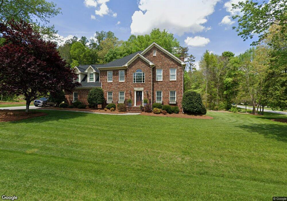
8500 Mahala Dr High Point, NC 27265
Sandy Ridge NeighborhoodEstimated Value: $471,000 - $490,000
4
Beds
3
Baths
2,905
Sq Ft
$166/Sq Ft
Est. Value
About This Home
This home is located at 8500 Mahala Dr, High Point, NC 27265 and is currently estimated at $483,187, approximately $166 per square foot. 8500 Mahala Dr is a home located in Guilford County with nearby schools including Southwest Elementary School, Southwest Guilford Middle School, and Southwest Guilford High School.
Ownership History
Date
Name
Owned For
Owner Type
Purchase Details
Closed on
Aug 22, 2003
Sold by
Migliardi Robert T and Migliardi Stephanie G
Bought by
Coble Christopher R and Coble Janice W
Current Estimated Value
Home Financials for this Owner
Home Financials are based on the most recent Mortgage that was taken out on this home.
Original Mortgage
$223,900
Outstanding Balance
$88,722
Interest Rate
4.25%
Mortgage Type
Purchase Money Mortgage
Estimated Equity
$394,465
Create a Home Valuation Report for This Property
The Home Valuation Report is an in-depth analysis detailing your home's value as well as a comparison with similar homes in the area
Home Values in the Area
Average Home Value in this Area
Purchase History
| Date | Buyer | Sale Price | Title Company |
|---|---|---|---|
| Coble Christopher R | $280,000 | -- |
Source: Public Records
Mortgage History
| Date | Status | Borrower | Loan Amount |
|---|---|---|---|
| Open | Coble Christopher R | $223,900 |
Source: Public Records
Tax History
| Year | Tax Paid | Tax Assessment Tax Assessment Total Assessment is a certain percentage of the fair market value that is determined by local assessors to be the total taxable value of land and additions on the property. | Land | Improvement |
|---|---|---|---|---|
| 2025 | $3,310 | $387,300 | $70,000 | $317,300 |
| 2024 | $3,310 | $383,600 | $70,000 | $313,600 |
| 2023 | $3,310 | $383,600 | $70,000 | $313,600 |
| 2022 | $3,278 | $383,600 | $70,000 | $313,600 |
| 2021 | $2,773 | $324,500 | $45,000 | $279,500 |
| 2020 | $2,811 | $324,500 | $45,000 | $279,500 |
| 2019 | $2,811 | $324,500 | $0 | $0 |
| 2018 | $2,797 | $324,500 | $0 | $0 |
| 2017 | $2,797 | $324,500 | $0 | $0 |
| 2016 | $2,760 | $309,800 | $0 | $0 |
| 2015 | $2,776 | $309,800 | $0 | $0 |
| 2014 | $2,806 | $309,800 | $0 | $0 |
Source: Public Records
Map
Nearby Homes
- 2304 Rockland Cir
- 2350 Birch View Dr
- 4427 Saddlewood Club Dr
- 2459 Tannin Ct
- 4257 Pelican St
- 3025 Sycamore Point Trail
- 4630 White Beard Rd
- 3273 Alyssa Way
- 4728 Sandy Camp Rd
- 4711 Willowstone Dr
- 4713 Willowstone Dr
- 4715 Willowstone Dr
- 4710 Willowstone Dr
- 4712 Willowstone Dr
- 4714 Willowstone Dr
- 4723 Willowstone Dr
- 4725 Willowstone Dr
- 4716 Willowstone Dr
- Richmond Plan at Williard Place
- Cameron Plan at Williard Place
- 2352 Rockland Cir
- 1503 Meta Ct
- 4508 Rockland Ct
- 2356 Rockland Cir
- 8501 Mahala Dr
- 4500 Rockland Ct
- 1504 Meta Ct
- 1502 Malachi Ct
- 1502 Malachai Ct
- 2360 Rockland Cir
- 2349 Rockland Cir
- 4501 Rockland Ct
- 1510 Meta Ct
- 2353 Rockland Cir
- 2364 Rockland Cir
- 2345 Rockland Cir
- 1503 Malachi Ct
- 2344 Rockland Cir
- 4505 Rockland Ct
- 2361 Rockland Cir