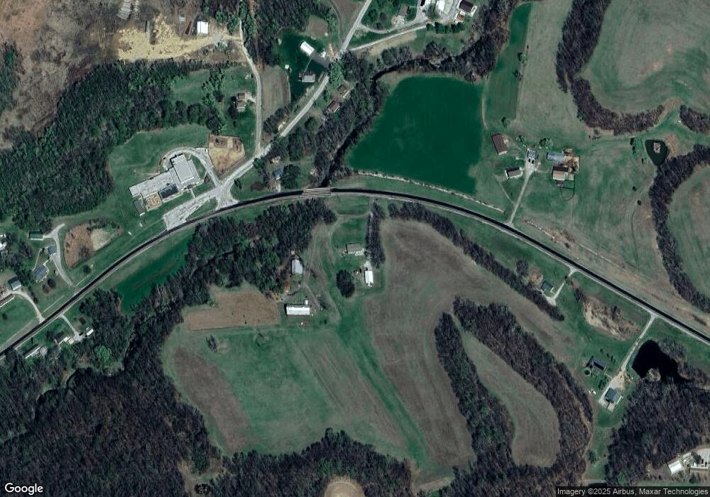
8500 SW State Route 116 Rushville, MO 64484
Estimated Value: $255,000
--
Bed
--
Bath
1,800
Sq Ft
$142/Sq Ft
Est. Value
About This Home
This home is located at 8500 SW State Route 116, Rushville, MO 64484 and is currently estimated at $255,000, approximately $141 per square foot. 8500 SW State Route 116 is a home located in Buchanan County with nearby schools including Rushville Elementary School and DeKalb Middle/High School.
Ownership History
Date
Name
Owned For
Owner Type
Purchase Details
Closed on
Aug 23, 2016
Sold by
Hurst Vanh
Bought by
Clary Patrick D and Clary Toni M
Current Estimated Value
Home Financials for this Owner
Home Financials are based on the most recent Mortgage that was taken out on this home.
Original Mortgage
$93,354
Outstanding Balance
$42,709
Interest Rate
3.48%
Mortgage Type
New Conventional
Estimated Equity
$212,291
Create a Home Valuation Report for This Property
The Home Valuation Report is an in-depth analysis detailing your home's value as well as a comparison with similar homes in the area
Home Values in the Area
Average Home Value in this Area
Purchase History
| Date | Buyer | Sale Price | Title Company |
|---|---|---|---|
| Clary Patrick D | -- | -- | |
| Clary Patrick D | -- | -- |
Source: Public Records
Mortgage History
| Date | Status | Borrower | Loan Amount |
|---|---|---|---|
| Open | Clary Patrick D | $93,354 | |
| Closed | Clary Patrick D | $93,354 |
Source: Public Records
Tax History Compared to Growth
Tax History
| Year | Tax Paid | Tax Assessment Tax Assessment Total Assessment is a certain percentage of the fair market value that is determined by local assessors to be the total taxable value of land and additions on the property. | Land | Improvement |
|---|---|---|---|---|
| 2024 | $1,782 | $27,350 | $2,350 | $25,000 |
| 2023 | $1,782 | $27,350 | $2,350 | $25,000 |
| 2022 | $1,667 | $25,550 | $2,280 | $23,270 |
| 2021 | $1,653 | $25,550 | $2,280 | $23,270 |
| 2020 | $1,655 | $25,550 | $2,280 | $23,270 |
| 2019 | $1,653 | $25,550 | $2,280 | $23,270 |
| 2018 | $1,606 | $25,550 | $2,280 | $23,270 |
| 2017 | $1,601 | $25,550 | $0 | $0 |
| 2015 | $2 | $25,550 | $0 | $0 |
| 2014 | $619 | $9,690 | $0 | $0 |
Source: Public Records
Map
Nearby Homes
- 301 Valley St
- 12801 SW Henman Rd
- 0 SW Old Rd N Unit Lot WP001 23098895
- 0 SW Old Rd N
- 12600 U S 59
- 24200 N Us 45 Hwy
- 301 West St
- 0 SW 36 Rd
- 1706 N 2nd St
- 719 Washington St
- 605 Washington St
- 301 Green Tree Rd
- 1720 Linden Ln
- 0 Brown Rd Unit HMS2568985
- 307 Riley St
- 805 N 4th St
- 320 Parallel St
- 1310 N 6th St
- 921 N 7th St
- 929 N 7th St
- 8591 SW State Route 116
- 8560 SW Old North Rd
- 8551 SW State Route 116
- 8545 SW Old North Rd
- 8605 SW Old North Rd
- 8330 SW State Route 116
- 8540 SW Old North Rd
- 8538 SW Old North Rd
- 8220 SW State Route 116
- 8521 SW Old North Rd
- 8760 SW State Route 116
- 8535 SW Old North Rd
- 8791 SW State Route 116
- 8780 Missouri 116
- 8607 SW Old North Rd
- 8454 SW Old North Rd
- 8607 SW Old Rd N
- 8140 SW State Route 116
- 1001 Valley St
- 8790 SW State Route 116
