8501 Mcafee Ln Battle Ground, IN 47920
Estimated Value: $543,000 - $732,209
Studio
1
Bath
5,387
Sq Ft
$118/Sq Ft
Est. Value
About This Home
This home is located at 8501 Mcafee Ln, Battle Ground, IN 47920 and is currently estimated at $636,552, approximately $118 per square foot. 8501 Mcafee Ln is a home located in Tippecanoe County with nearby schools including Battle Ground Elementary School, Battle Ground Middle School, and William Henry Harrison High School.
Ownership History
Date
Name
Owned For
Owner Type
Purchase Details
Closed on
Nov 30, 2006
Sold by
Heath Michael D and Heath Lori S
Bought by
Rogers Gerry R
Current Estimated Value
Home Financials for this Owner
Home Financials are based on the most recent Mortgage that was taken out on this home.
Original Mortgage
$418,500
Outstanding Balance
$285,122
Interest Rate
8.99%
Mortgage Type
Purchase Money Mortgage
Estimated Equity
$351,430
Purchase Details
Closed on
Dec 2, 2005
Sold by
Garrott Floyd H
Bought by
Heath Michael D and Heath Lori S
Home Financials for this Owner
Home Financials are based on the most recent Mortgage that was taken out on this home.
Original Mortgage
$530,000
Interest Rate
6.2%
Mortgage Type
Fannie Mae Freddie Mac
Purchase Details
Closed on
Apr 25, 2001
Sold by
Heath Lori S and Garrott Floyd
Bought by
Heath Michael D and Heath Lori S
Home Financials for this Owner
Home Financials are based on the most recent Mortgage that was taken out on this home.
Original Mortgage
$288,000
Interest Rate
7.03%
Mortgage Type
Purchase Money Mortgage
Create a Home Valuation Report for This Property
The Home Valuation Report is an in-depth analysis detailing your home's value as well as a comparison with similar homes in the area
Purchase History
| Date | Buyer | Sale Price | Title Company |
|---|---|---|---|
| Rogers Gerry R | -- | None Available | |
| Heath Michael D | -- | -- | |
| Heath Michael D | -- | -- |
Source: Public Records
Mortgage History
| Date | Status | Borrower | Loan Amount |
|---|---|---|---|
| Open | Rogers Gerry R | $418,500 | |
| Previous Owner | Heath Michael D | $530,000 | |
| Previous Owner | Heath Michael D | $288,000 |
Source: Public Records
Tax History
| Year | Tax Paid | Tax Assessment Tax Assessment Total Assessment is a certain percentage of the fair market value that is determined by local assessors to be the total taxable value of land and additions on the property. | Land | Improvement |
|---|---|---|---|---|
| 2024 | $4,217 | $571,900 | $72,800 | $499,100 |
| 2023 | $3,912 | $534,200 | $72,800 | $461,400 |
| 2022 | $3,829 | $476,500 | $72,800 | $403,700 |
| 2021 | $3,855 | $476,500 | $72,800 | $403,700 |
| 2020 | $3,704 | $478,600 | $74,900 | $403,700 |
| 2019 | $3,719 | $483,400 | $74,900 | $408,500 |
| 2018 | $3,630 | $480,900 | $74,900 | $406,000 |
| 2017 | $3,677 | $481,200 | $74,900 | $406,300 |
| 2016 | $3,617 | $477,500 | $74,900 | $402,600 |
| 2014 | $3,282 | $437,500 | $74,900 | $362,600 |
| 2013 | $3,450 | $437,400 | $74,900 | $362,500 |
Source: Public Records
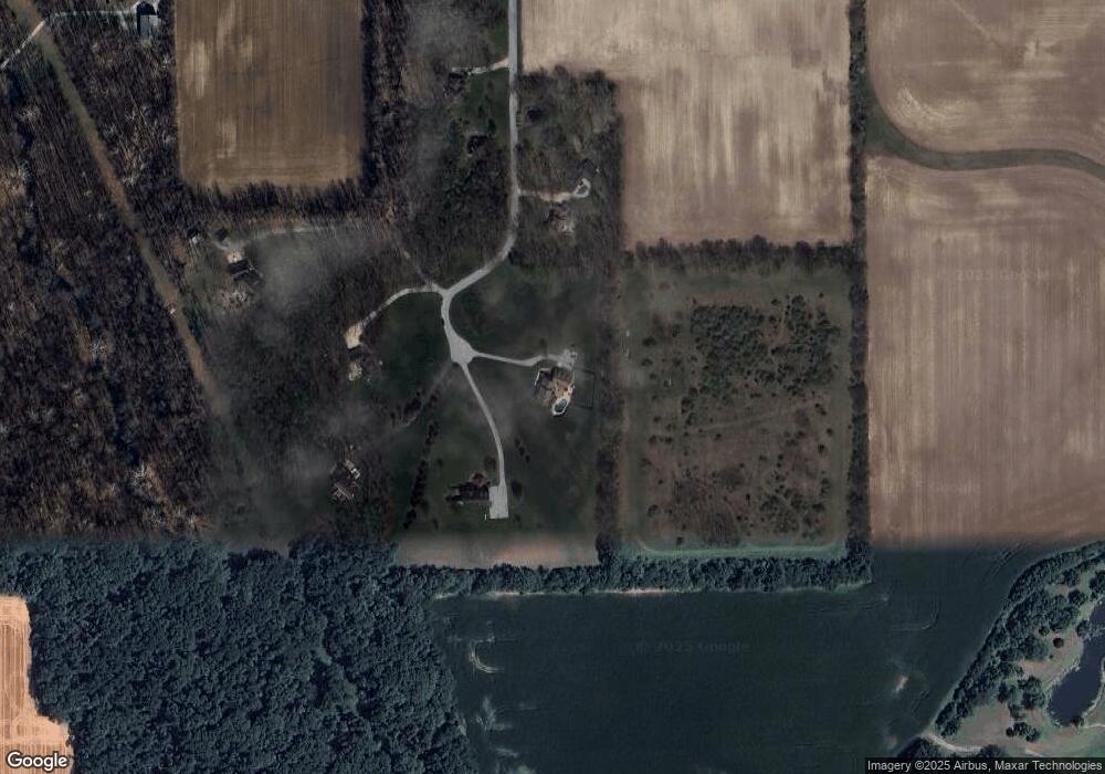
Map
Nearby Homes
- 1832 E 800 N
- 9099 Herring Ln
- 9060 Herring Ln
- 7511 N 75 E
- 7319 N 300 E
- 2489 Cascade Ct
- 6260 Musket Way
- 6203 Munsee Dr
- 2482 Matchlock Ct
- 6519 Ironclad Way
- 2501 Musket Way
- 1578 W Herring Way Rd
- 680 Hazelwood Dr
- 6101 Gilwell Dr
- 6100 Gilwell Dr
- 575 Perry Ln
- 641 Tamarind Dr
- 631 Tamarind Dr
- 621 Tamarind Dr
- 5981 Petunia Place
- 8500 Mcafee Ln
- 8615 Mcafee Ln
- 8602 Mcafee Ln
- 8510 Mcafee Ln
- 8704 Mcafee Ln
- 8612 Mcafee Ln
- 8806 Mcafee Ln
- 8818 Mcafee Ln
- 1403 E 900 N
- 8605 Tenskwatawa Dr
- 8472 Indiana 43
- 8700 State Road 43 N
- 8609 Tenskwatawa Dr
- 8908 Mcafee Ln
- 1775 E 900 N
- 8615 Tenskwatawa Dr
- 8615 Tenskwatawa Dr
- 8472 State Road 43 N
- 8621 Tenskwatawa Dr
- 8701 Tenskwatawa Dr
Your Personal Tour Guide
Ask me questions while you tour the home.