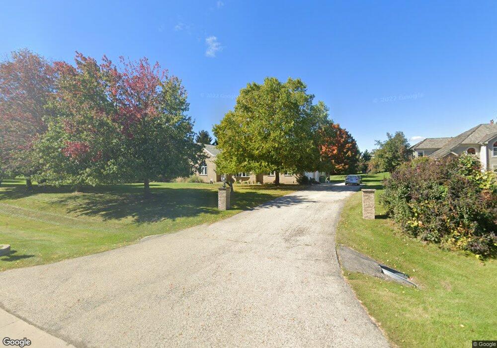
8505 Sundial Ln Spring Grove, IL 60081
Northwest Fox Lake NeighborhoodEstimated Value: $583,000 - $750,000
--
Bed
--
Bath
3,500
Sq Ft
$188/Sq Ft
Est. Value
About This Home
This home is located at 8505 Sundial Ln, Spring Grove, IL 60081 and is currently estimated at $657,472, approximately $187 per square foot. 8505 Sundial Ln is a home located in McHenry County with nearby schools including Spring Grove Elementary School, Nippersink Middle School, and Richmond-Burton High School.
Ownership History
Date
Name
Owned For
Owner Type
Purchase Details
Closed on
Aug 26, 2003
Sold by
Allesandro Fred D
Bought by
Gross Marianna and Gross Elfriede M
Current Estimated Value
Home Financials for this Owner
Home Financials are based on the most recent Mortgage that was taken out on this home.
Original Mortgage
$150,000
Outstanding Balance
$66,943
Interest Rate
5.69%
Mortgage Type
Purchase Money Mortgage
Estimated Equity
$590,530
Create a Home Valuation Report for This Property
The Home Valuation Report is an in-depth analysis detailing your home's value as well as a comparison with similar homes in the area
Home Values in the Area
Average Home Value in this Area
Purchase History
| Date | Buyer | Sale Price | Title Company |
|---|---|---|---|
| Gross Marianna | $465,000 | Chicago Title Company |
Source: Public Records
Mortgage History
| Date | Status | Borrower | Loan Amount |
|---|---|---|---|
| Open | Gross Marianna | $150,000 |
Source: Public Records
Tax History Compared to Growth
Tax History
| Year | Tax Paid | Tax Assessment Tax Assessment Total Assessment is a certain percentage of the fair market value that is determined by local assessors to be the total taxable value of land and additions on the property. | Land | Improvement |
|---|---|---|---|---|
| 2024 | $14,227 | $193,898 | $21,072 | $172,826 |
| 2023 | $13,971 | $180,841 | $19,653 | $161,188 |
| 2022 | $13,585 | $159,079 | $17,288 | $141,791 |
| 2021 | $12,925 | $149,961 | $16,297 | $133,664 |
| 2020 | $12,465 | $143,353 | $15,579 | $127,774 |
| 2019 | $12,677 | $141,124 | $15,337 | $125,787 |
| 2018 | $12,842 | $136,761 | $14,863 | $121,898 |
| 2017 | $12,263 | $124,555 | $13,957 | $110,598 |
| 2016 | $12,881 | $118,952 | $13,329 | $105,623 |
| 2013 | -- | $118,503 | $14,208 | $104,295 |
Source: Public Records
Map
Nearby Homes
- 8407 Appaloosa Ln
- 8501 Country Shire Ln
- 8610 Steeple Ln
- 8303 Appaloosa Ln
- 8300 Appaloosa Ln
- 7830 N Pillow Hill Rd
- 7822 N Pillow Hill Rd
- 7710 Ravina Dr
- Lot 64 Beverly Way
- Lot 61 Beverly Way
- Lot 60 Beverly Way
- Lot 59 Beverly Way
- Lot 58 Beverly Way
- Lot 57 Beverly Way
- Lot 65 & 66 Main Street Rd
- LOT 56 Beverly Way
- 7503 Windsor Ave
- 535 Deer Run
- 9307 Daniel Ln
- 1410 Linden Rd
- 8513 Sundial Ln
- 8419 Sundial Ln
- 8515 Sundial Ln
- 8510 Country Shire Ln
- 8414 Appaloosa Ln
- LOT 17 Sundial Ln
- 8411 Sundial Ln
- 8502 Sundial Ln
- 8512 Sundial Ln
- 8518 Country Shire Ln Unit 1
- 8504 Country Shire Ln
- 8517 Sundial Ln
- 8602 Country Shire Ln
- 8416 Country Shire Ln
- 8411 Appaloosa Ln
- 8410 Appaloosa Ln
- 8520 Sundial Ln
- 8605 Sundial Ln
- 8608 Country Shire Ln
- 8503 Heather Ridge