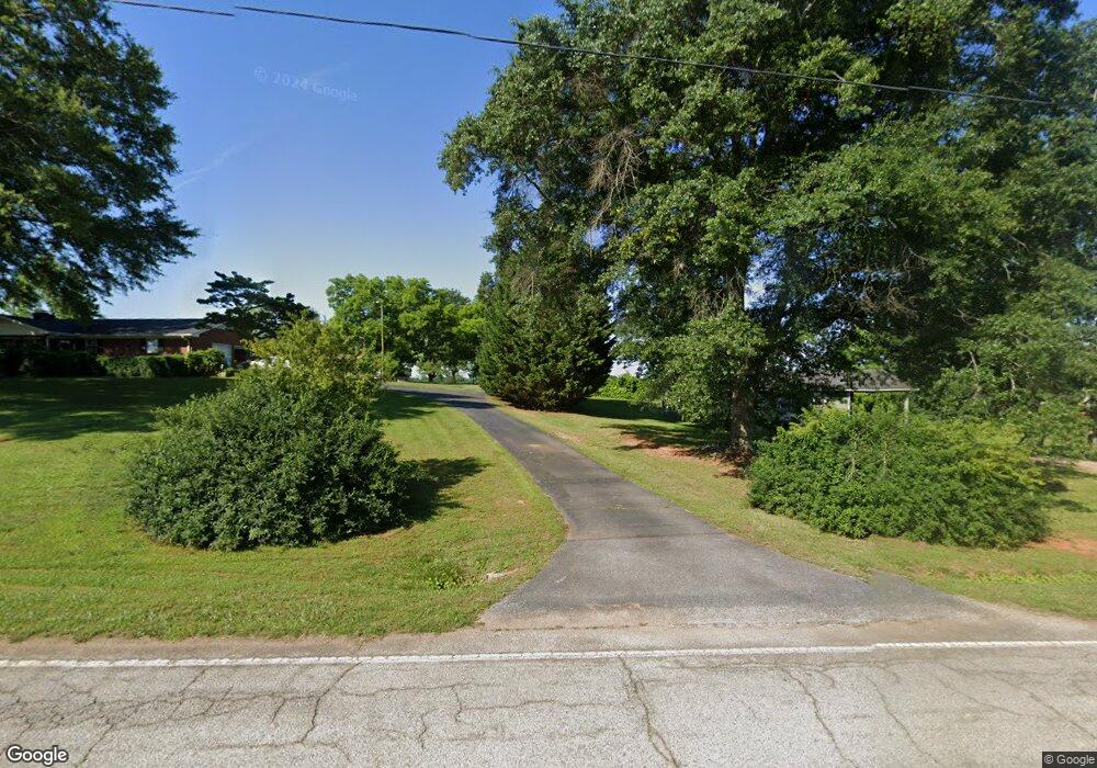
8507 Parris Bridge Rd Chesnee, SC 29323
Estimated Value: $344,000 - $450,442
3
Beds
2
Baths
1,863
Sq Ft
$205/Sq Ft
Est. Value
About This Home
This home is located at 8507 Parris Bridge Rd, Chesnee, SC 29323 and is currently estimated at $382,814, approximately $205 per square foot. 8507 Parris Bridge Rd is a home located in Spartanburg County with nearby schools including Chesnee Middle School and Chesnee High School.
Ownership History
Date
Name
Owned For
Owner Type
Purchase Details
Closed on
Oct 28, 2024
Sold by
Thompson David C
Bought by
King-Witz Stephanie
Current Estimated Value
Purchase Details
Closed on
Mar 3, 2021
Sold by
Thompson David C and Estate Of Marguite B Thompson
Bought by
King Lynn T
Purchase Details
Closed on
Dec 30, 2009
Sold by
Thompson Marguerite B and Thompson Bobby T
Bought by
Thompson Marguerite B
Purchase Details
Closed on
Sep 30, 2009
Sold by
Thompson Marguerite B and Thompson Bobby T
Bought by
Shields Nathaniel and Shields Peggy S
Purchase Details
Closed on
Dec 31, 2001
Sold by
Thompson Marguerite B
Bought by
Thompson Marguerite B and Thompson Bobby T
Create a Home Valuation Report for This Property
The Home Valuation Report is an in-depth analysis detailing your home's value as well as a comparison with similar homes in the area
Home Values in the Area
Average Home Value in this Area
Purchase History
| Date | Buyer | Sale Price | Title Company |
|---|---|---|---|
| King-Witz Stephanie | -- | None Listed On Document | |
| King Lynn T | -- | None Available | |
| Thompson David C | -- | None Available | |
| Thompson Marguerite B | -- | -- | |
| Shields Nathaniel | $3,000 | -- | |
| Thompson Marguerite B | -- | -- | |
| Thompson Marguerite B | -- | -- |
Source: Public Records
Tax History Compared to Growth
Tax History
| Year | Tax Paid | Tax Assessment Tax Assessment Total Assessment is a certain percentage of the fair market value that is determined by local assessors to be the total taxable value of land and additions on the property. | Land | Improvement |
|---|---|---|---|---|
| 2025 | $4,339 | $11,557 | $511 | $11,046 |
| 2024 | $4,339 | $12,151 | $808 | $11,343 |
| 2023 | $4,339 | $12,151 | $808 | $11,343 |
| 2022 | $3,967 | $10,573 | $685 | $9,888 |
| 2021 | $3,992 | $10,639 | $685 | $9,954 |
| 2020 | $2,803 | $11,229 | $1,059 | $10,170 |
| 2019 | $2,803 | $11,229 | $1,059 | $10,170 |
| 2018 | $2,746 | $11,292 | $1,067 | $10,225 |
| 2017 | $2,409 | $9,871 | $1,027 | $8,844 |
| 2016 | $2,409 | $9,871 | $1,027 | $8,844 |
| 2015 | $2,394 | $9,871 | $1,027 | $8,844 |
| 2014 | $2,378 | $9,871 | $1,027 | $8,844 |
Source: Public Records
Map
Nearby Homes
- 202 Arrowood Branch Rd
- 550 Harris Rd
- 291 Robbins Rd
- 0 State Road S-42-1879
- 73 Pond View Ln Unit 66
- 73 Pond View Ln
- 0 Cantrell Dr
- 537 State Road S-42-1879
- 545 State Road S-42-1879
- 553 State Road S-42-1879
- 557 State Road S-42-1879
- 561 State Road S-42-1879
- 565 State Road S-42-1879
- 569 State Road S-42-1879
- 333 Mcswain Rd
- 00 Petite Ct
- 0 Big Island Rd Unit 23524113
- 140 Manor House Ln
- 107 Brooklyn Church Rd
- 1543 Highway 11 W
- 8499 Parris Bridge Rd
- 8469 Parris Bridge Rd
- 8531 Parris Bridge Rd
- 8569 Parris Bridge Rd
- 8520 Parris Bridge Rd
- 8461 Parris Bridge Rd
- 8536 Parris Bridge Rd
- 8454 Parris Bridge Rd
- 8510 Parris Bridge Rd
- 8408 Parris Bridge Rd
- 8589 Parris Bridge Rd
- 8455 Parris Bridge Rd
- 8385 Parris Bridge Rd
- 8410 Parris Bridge Rd
- 109 Folk Rd
- 190 Folk Rd
- 145 Folk Rd
- 130 Sanders Rd
- 510 Arrowood Branch Rd
- 197 Harris Rd