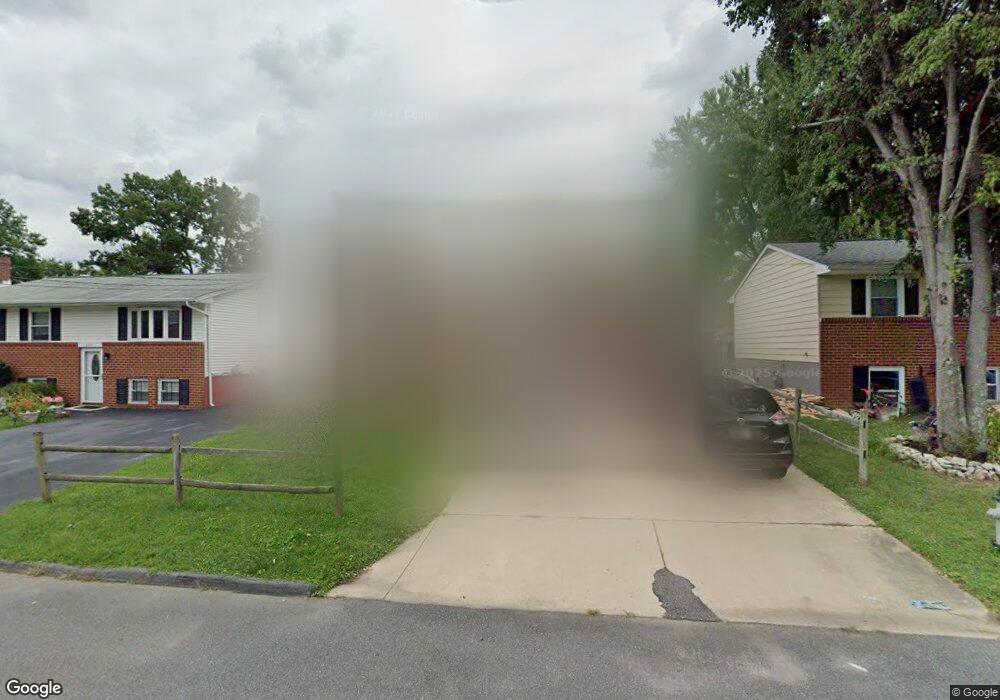
8509 Locust Grove Dr Laurel, MD 20707
South Laurel NeighborhoodEstimated Value: $338,799 - $471,000
--
Bed
2
Baths
936
Sq Ft
$458/Sq Ft
Est. Value
About This Home
This home is located at 8509 Locust Grove Dr, Laurel, MD 20707 and is currently estimated at $428,950, approximately $458 per square foot. 8509 Locust Grove Dr is a home located in Prince George's County with nearby schools including James H. Harrison Elementary School, Laurel High School, and Christian Academy of Laurel.
Ownership History
Date
Name
Owned For
Owner Type
Purchase Details
Closed on
Jan 7, 2004
Sold by
Jones Isaac T
Bought by
Jones Isaac T
Current Estimated Value
Purchase Details
Closed on
Aug 13, 1987
Sold by
Osborne Parker L
Bought by
Jones Isaac T and Jones Yvonne R
Create a Home Valuation Report for This Property
The Home Valuation Report is an in-depth analysis detailing your home's value as well as a comparison with similar homes in the area
Home Values in the Area
Average Home Value in this Area
Purchase History
| Date | Buyer | Sale Price | Title Company |
|---|---|---|---|
| Jones Isaac T | -- | -- | |
| Jones Isaac T | $86,500 | -- |
Source: Public Records
Tax History Compared to Growth
Tax History
| Year | Tax Paid | Tax Assessment Tax Assessment Total Assessment is a certain percentage of the fair market value that is determined by local assessors to be the total taxable value of land and additions on the property. | Land | Improvement |
|---|---|---|---|---|
| 2025 | $3,254 | $333,900 | $110,700 | $223,200 |
| 2024 | $3,254 | $313,267 | $0 | $0 |
| 2023 | $3,804 | $292,633 | $0 | $0 |
| 2022 | $3,609 | $272,000 | $100,700 | $171,300 |
| 2021 | $3,483 | $264,533 | $0 | $0 |
| 2020 | $3,429 | $257,067 | $0 | $0 |
| 2019 | $3,332 | $249,600 | $75,300 | $174,300 |
| 2018 | $3,173 | $227,433 | $0 | $0 |
| 2017 | $3,041 | $205,267 | $0 | $0 |
| 2016 | -- | $183,100 | $0 | $0 |
| 2015 | $2,615 | $181,267 | $0 | $0 |
| 2014 | $2,615 | $179,433 | $0 | $0 |
Source: Public Records
Map
Nearby Homes
- 0 Chestnut Ridge Dr
- 0 Railroad Ave
- 14105 William St Unit 15-C
- 14226 Yardarm Way Unit 107
- 14106 William St Unit 19B
- 14011F Briston St
- 14007 Briston St
- 14114B Lauren Ln
- 14119 Bowsprit Ln Unit 312
- 14007B Korba Place Unit 2B
- 14002F Korba Place
- 14229 Bowsprit Ln Unit 501
- 8210 Willow St
- 14012C Justin Way Unit 26-C
- 8203 Willow St
- 7902 Bayshore Dr Unit 32
- 14016 Vista Dr Unit 13A
- 14018 Vista Dr
- 14059 Vista Dr Unit 141C
- 8700 Kiama Rd
- 8507 Locust Grove Dr
- 8511 Locust Grove Dr
- 8505 Locust Grove Dr
- 8513 Locust Grove Dr
- 8503 Locust Grove Dr
- 8508 Lindendale Dr
- 8515 Locust Grove Dr
- 8510 Lindendale Dr
- 8506 Lindendale Dr
- 8512 Lindendale Dr
- 8504 Lindendale Dr
- 8510 Locust Grove Dr
- 8501 Locust Grove Dr
- 8517 Locust Grove Dr
- 8512 Locust Grove Dr
- 8506 Locust Grove Dr
- 8514 Lindendale Dr
- 8504 Locust Grove Dr
- 8514 Locust Grove Dr
- 8500 Lindendale Dr